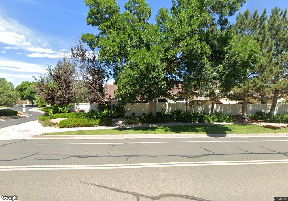
9643 Independence Dr Unit 9643 Westminster, CO 80021
Kings Mill NeighborhoodEstimated Value: $525,000 - $576,000
About This Home
This home is located at 9643 Independence Dr Unit 9643, Westminster, CO 80021 and is currently estimated at $558,022, approximately $323 per square foot. 9643 Independence Dr Unit 9643 is a home located in Jefferson County with nearby schools including Lukas Elementary School, Wayne Carle Middle School, and Standley Lake High School.
Ownership History
We collect this data history from publicly available records. To have your information removed, we recommend requesting removal directly through your county’s website.
Purchase Details
Purchase Details
Purchase Details
Home Values in the Area
Average Home Value in this Area
Purchase History
We collect this data history from publicly available records. To have your information removed, we recommend requesting removal directly through your county’s website.
| Date | Buyer | Sale Price | Title Company |
|---|---|---|---|
| $232,500 | First American Heritage Titl | ||
| $164,900 | First American | ||
| $156,150 | North American Title |
Mortgage History
We collect this data history from publicly available records. To have your information removed, we recommend requesting removal directly through your county’s website.
| Date | Status | Borrower | Loan Amount |
|---|---|---|---|
| Closed | $103,111 |
Tax History
We collect this data history from publicly available records. To have your information removed, we recommend requesting removal directly through your county’s website.
| Year | Tax Paid | Tax Assessment Tax Assessment Total Assessment is a certain percentage of the fair market value that is determined by local assessors to be the total taxable value of land and additions on the property. | Land | Improvement |
|---|---|---|---|---|
| 2025 | $2,833 | $34,691 | $4,313 | $30,378 |
| 2024 | $1,711 | $29,164 | $6,030 | $23,134 |
| 2023 | $1,711 | $29,164 | $6,030 | $23,134 |
| 2022 | $1,622 | $27,810 | $4,170 | $23,640 |
| 2021 | $1,646 | $28,610 | $4,290 | $24,320 |
| 2020 | $1,515 | $27,021 | $4,290 | $22,731 |
| 2019 | $1,491 | $27,021 | $4,290 | $22,731 |
| 2018 | $1,260 | $23,426 | $3,600 | $19,826 |
| 2017 | $1,128 | $23,426 | $3,600 | $19,826 |
| 2016 | $1,058 | $22,081 | $2,866 | $19,215 |
| 2015 | $851 | $22,081 | $2,866 | $19,215 |
| 2014 | $851 | $18,547 | $2,229 | $16,318 |
Map
- 9689 Independence Dr
- 9663 Brentwood Way Unit B
- 9609 Independence Dr Unit 9609
- 9627 Independence Dr Unit 9627
- 9567 Brentwood Way Unit A
- 9580 Brentwood Way Unit D
- 9762 Carr Cir
- 9680 Brentwood Way Unit 208
- 9801 Garrison Ct
- 9666 Brentwood Way Unit 203
- 9805 Garrison Ct
- 9308 W 98th Ct
- 9786 Garrison Ln
- 9263 W 98th Way
- 8755 W 95th Ave
- 10690 Dover St
- 9409 Brentwood St
- 8588 W 93rd Ct
- 9862 Independence St
- 9938 Garland Dr
- 9701 Independence Dr
- 9697 Independence Dr Unit 9697
- 9697 Independence Dr
- 9699 Independence Dr Unit 9699
- 9693 Independence Dr Unit 9693
- 9691 Independence Dr Unit 9691
- 9685 Independence Dr Unit 9685
- 9687 Independence Dr Unit 9687
- 9683 Independence Dr
- 9659 Independence Dr Unit 9659
- 9653 Independence Dr Unit 9653
- 9655 Independence Dr Unit 9655
- 9657 Brentwood Way Unit A
- 9657 Brentwood Way Unit B
- 9657 Brentwood Way Unit C
- 9657 Independence Dr Unit 9657
- 9657 N Independence Dr
- 9601 Independence Dr
- 9669 Independence Dr Unit 9669
- 9665 Independence Dr Unit 9665
Ask me questions while you tour the home.