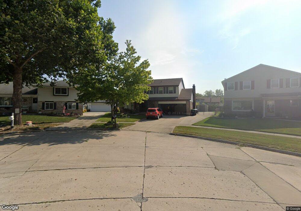
9649 Sil St Taylor, MI 48180
Estimated Value: $341,000 - $362,000
About This Home
This home is located at 9649 Sil St, Taylor, MI 48180 and is currently estimated at $348,027, approximately $154 per square foot. 9649 Sil St is a home located in Wayne County with nearby schools including Holland Elementary School, Hoover Middle School, and Taylor High School.
Ownership History
We collect this data history from publicly available records. To have your information removed, we recommend requesting removal directly through your county’s website.
Purchase Details
Purchase Details
Purchase Details
Home Values in the Area
Average Home Value in this Area
Purchase History
We collect this data history from publicly available records. To have your information removed, we recommend requesting removal directly through your county’s website.
| Date | Buyer | Sale Price | Title Company |
|---|---|---|---|
| $77,000 | Attorneys Title Agency Llc | ||
| $119,000 | None Available | ||
| $191,200 | Multiple |
Tax History
We collect this data history from publicly available records. To have your information removed, we recommend requesting removal directly through your county’s website.
| Year | Tax Paid | Tax Assessment Tax Assessment Total Assessment is a certain percentage of the fair market value that is determined by local assessors to be the total taxable value of land and additions on the property. | Land | Improvement |
|---|---|---|---|---|
| 2025 | $2,981 | $179,000 | $0 | $0 |
| 2024 | $2,886 | $150,900 | $0 | $0 |
| 2023 | $3,480 | $136,200 | $0 | $0 |
| 2022 | $2,755 | $123,200 | $0 | $0 |
| 2021 | $3,065 | $114,000 | $0 | $0 |
| 2020 | $3,036 | $100,700 | $0 | $0 |
| 2019 | $303,548 | $93,800 | $0 | $0 |
| 2018 | $2,365 | $76,500 | $0 | $0 |
| 2017 | $1,360 | $73,000 | $0 | $0 |
| 2016 | $2,959 | $72,000 | $0 | $0 |
| 2015 | $5,344 | $60,300 | $0 | $0 |
| 2013 | $5,320 | $54,300 | $0 | $0 |
| 2012 | $2,156 | $53,600 | $15,800 | $37,800 |
Map
- 9642 Sharon St
- 9686 Rose St
- 9447 Continental Dr
- 26336 Kinyon St
- 9267 Glenis St
- 26170 Wick Rd
- 25647 Baker St
- 9263 Sylvia St
- 9255 Sylvia St
- 25505 Wick Rd
- 10800 Holland Rd
- 25315 Baker St
- 25317 Koths St
- 9712 Cherokee St
- 0 Goddard Unit 20251010304
- 25615 Wohlfeil St
- 10202 Westlake St
- 25444 Filmore St
- 11098 Partridge Dr
- 25100 Melody St
Ask me questions while you tour the home.