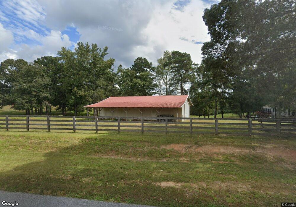
965 Beaverpond Rd Carrollton, GA 30117
Estimated Value: $214,563 - $293,000
4
Beds
3
Baths
3,500
Sq Ft
$71/Sq Ft
Est. Value
About This Home
This home is located at 965 Beaverpond Rd, Carrollton, GA 30117 and is currently estimated at $250,141, approximately $71 per square foot. 965 Beaverpond Rd is a home located in Carroll County with nearby schools including Mt. Zion Elementary School, Mt. Zion Middle School, and Mt. Zion High School.
Ownership History
Date
Name
Owned For
Owner Type
Purchase Details
Closed on
Aug 4, 2014
Sold by
Robinson William W
Bought by
Lipham Dale A and Lipham Sandi
Current Estimated Value
Purchase Details
Closed on
Nov 2, 1998
Sold by
Barnett Kirk A and Barnett Cha
Bought by
Robinson W W
Purchase Details
Closed on
May 12, 1998
Sold by
Robinson C Donald
Bought by
Barnett Kirk A and Barnett Cha
Purchase Details
Closed on
Aug 21, 1995
Sold by
Hearn Jean B Mrs
Bought by
Robinson C Donald
Purchase Details
Closed on
Sep 6, 1994
Sold by
Hearn
Bought by
Hearn Jean B Mrs
Purchase Details
Closed on
May 1, 1971
Bought by
Hearn
Create a Home Valuation Report for This Property
The Home Valuation Report is an in-depth analysis detailing your home's value as well as a comparison with similar homes in the area
Home Values in the Area
Average Home Value in this Area
Purchase History
| Date | Buyer | Sale Price | Title Company |
|---|---|---|---|
| Lipham Dale A | $18,000 | -- | |
| Robinson W W | $15,000 | -- | |
| Barnett Kirk A | $5,400 | -- | |
| Robinson C Donald | $67,800 | -- | |
| Hearn Jean B Mrs | -- | -- | |
| Hearn | -- | -- |
Source: Public Records
Tax History
| Year | Tax Paid | Tax Assessment Tax Assessment Total Assessment is a certain percentage of the fair market value that is determined by local assessors to be the total taxable value of land and additions on the property. | Land | Improvement |
|---|---|---|---|---|
| 2025 | $1,567 | $65,412 | $4,000 | $61,412 |
| 2024 | $1,580 | $65,412 | $4,000 | $61,412 |
| 2023 | $1,580 | $59,857 | $4,000 | $55,857 |
| 2022 | $1,320 | $48,799 | $4,000 | $44,799 |
| 2021 | $1,185 | $42,475 | $4,000 | $38,475 |
| 2020 | $815 | $38,495 | $4,000 | $34,495 |
| 2019 | $768 | $35,596 | $4,000 | $31,596 |
| 2018 | $702 | $31,386 | $4,000 | $27,386 |
| 2017 | $704 | $31,386 | $4,000 | $27,386 |
| 2016 | $704 | $31,386 | $4,000 | $27,386 |
| 2015 | $284 | $10,138 | $4,000 | $6,138 |
| 2014 | $285 | $10,138 | $4,000 | $6,138 |
Source: Public Records
Map
Nearby Homes
- 213 Randall Dr
- 218 Randall Dr
- 206 Randall Dr
- 141 Anita Blvd
- 105 Bowdon Junction Rd
- 46 Gammon Rd
- 142 Tyler Ln
- 140 Martin Cemetery Rd
- 120 Martin Cemetery Rd
- 128 Martin Cemetery Rd
- 0 W Mandeville Rd Unit 10707210
- 0 W Mandeville Rd Unit 7732471
- 620 Smyrna Church Rd
- 0 Bethlehem Church Rd Unit 7719552
- 0 Bethlehem Church Rd Unit 10691788
- 0 Mt Zion Rd Unit 7725838
- 0 Mt Zion Rd Unit 10699239
- 125 Bethlehem Church Rd
- 828 Harrison Rd
- 353 S Prospect Ave
- 965 Beaverpond Rd
- 965 Beaverpond Rd
- 965 Beaverpond Rd
- 965 Beaverpond Rd
- 965 Beaverpond Rd
- 965 Beaverpond Rd
- 225 Maxwell Rd
- 454 Maxwell Rd
- 943 Beaver Pond Rd
- 515 Bowdon Junction Rd
- 193 Maxwell Rd
- 472 Bowdon Junction Rd
- 893 Beaverpond Rd
- 348 Maxwell Rd
- 594 Bowdon Junction Rd
- 345 Maxwell Rd
- 571 Bowdon Junction Rd
- 127 Bowdon Junction Rd
- 588 Bowdon Junction Rd
- 628 Bowdon Junction Rd
Your Personal Tour Guide
Ask me questions while you tour the home.