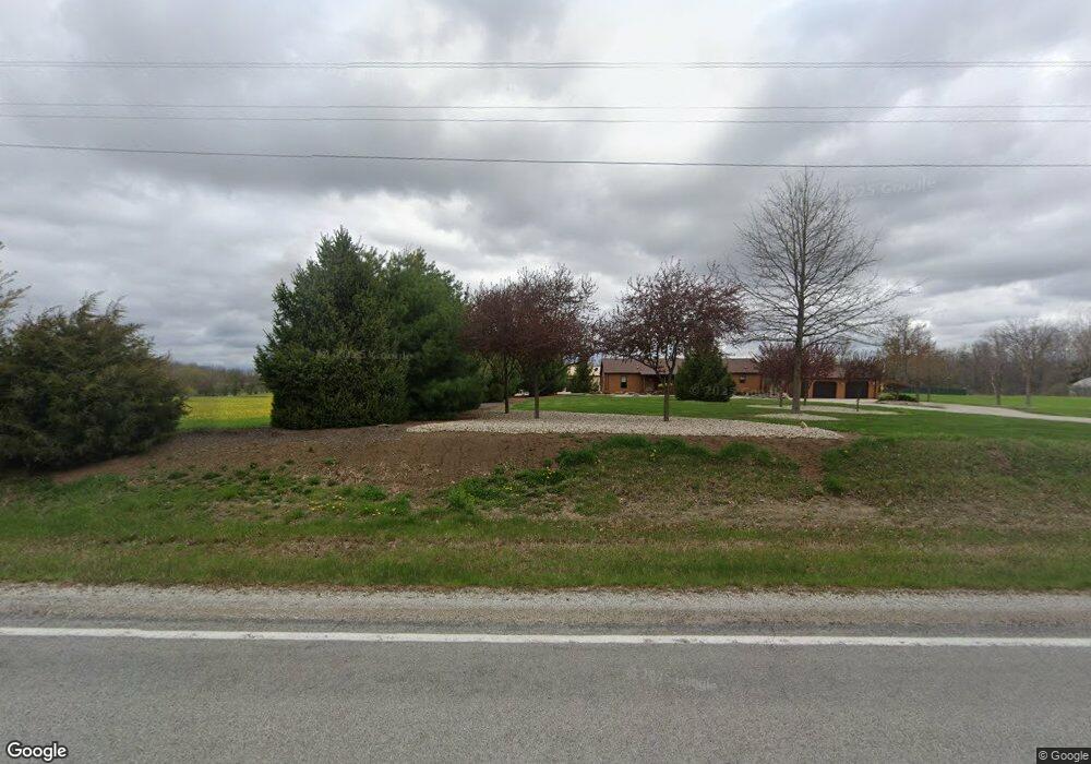
9678 W 600 S Andrews, IN 46702
Estimated Value: $253,000 - $1,029,569
4
Beds
3
Baths
6,802
Sq Ft
$94/Sq Ft
Est. Value
About This Home
This home is located at 9678 W 600 S, Andrews, IN 46702 and is currently estimated at $641,285, approximately $94 per square foot. 9678 W 600 S is a home located in Huntington County with nearby schools including Lancaster Elementary School and Huntington North High School.
Ownership History
Date
Name
Owned For
Owner Type
Purchase Details
Closed on
Aug 13, 2020
Sold by
Boggs Daniel N
Bought by
Boggs Daniel N and Williams Brenda K
Current Estimated Value
Purchase Details
Closed on
Apr 10, 2019
Sold by
Boggs Daniel
Bought by
Boggs Daniel
Purchase Details
Closed on
Apr 4, 2013
Sold by
Weaver Michael and Weaver Michele
Bought by
Boggs Daniel
Home Financials for this Owner
Home Financials are based on the most recent Mortgage that was taken out on this home.
Original Mortgage
$289,750
Interest Rate
3.5%
Mortgage Type
New Conventional
Purchase Details
Closed on
May 28, 2009
Sold by
Graczyk Leon J and Graczyk Mary L
Bought by
Michael Weaver and Weaver Michelle
Home Financials for this Owner
Home Financials are based on the most recent Mortgage that was taken out on this home.
Original Mortgage
$256,000
Interest Rate
4.84%
Mortgage Type
Future Advance Clause Open End Mortgage
Create a Home Valuation Report for This Property
The Home Valuation Report is an in-depth analysis detailing your home's value as well as a comparison with similar homes in the area
Purchase History
| Date | Buyer | Sale Price | Title Company |
|---|---|---|---|
| Boggs Daniel N | -- | None Available | |
| Boggs Daniel | -- | -- | |
| Boggs Daniel | -- | None Available | |
| Michael Weaver | $320,000 | -- | |
| Weaver Michael | -- | None Available |
Source: Public Records
Mortgage History
| Date | Status | Borrower | Loan Amount |
|---|---|---|---|
| Previous Owner | Boggs Daniel | $289,750 | |
| Previous Owner | Weaver Michael | $256,000 |
Source: Public Records
Tax History
| Year | Tax Paid | Tax Assessment Tax Assessment Total Assessment is a certain percentage of the fair market value that is determined by local assessors to be the total taxable value of land and additions on the property. | Land | Improvement |
|---|---|---|---|---|
| 2025 | $8,166 | $1,006,800 | $56,000 | $950,800 |
| 2024 | $8,166 | $860,100 | $57,700 | $802,400 |
| 2023 | $7,809 | $805,000 | $53,500 | $751,500 |
| 2022 | $7,111 | $724,300 | $65,000 | $659,300 |
| 2021 | $782 | $65,700 | $65,000 | $700 |
| 2020 | $709 | $322,800 | $59,100 | $263,700 |
| 2019 | $2,901 | $318,800 | $56,800 | $262,000 |
| 2018 | $3,121 | $321,800 | $56,800 | $265,000 |
| 2017 | $2,675 | $309,500 | $56,800 | $252,700 |
| 2016 | $2,283 | $297,900 | $54,300 | $243,600 |
| 2014 | $2,421 | $292,600 | $73,200 | $219,400 |
| 2013 | $2,421 | $299,800 | $73,200 | $226,600 |
Source: Public Records
Map
Nearby Homes
- 8937 S 900 W
- 6213 S 594 W
- 6420 S 400 W
- 3192 E 800 S Unit 2
- 3283 County Road 800th S
- 512 E Kendall St
- 3 Mason St
- 204 S Main St
- 6673 E Blue Star Hwy
- 436 W Bellville Ave
- 5804 Red Fox Dr
- 519 W Mckeever St
- 5562 W 100 N
- 63 E Mckeever St
- 161 S Jackson St
- 109 S Market St
- 4988 N Huntington Rd
- 172 N Main St
- 190 N State St
- 288 N Main St
Your Personal Tour Guide
Ask me questions while you tour the home.