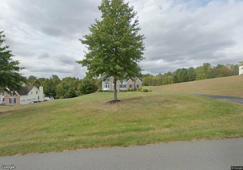
97 Airport Rd Hackettstown, NJ 07840
Estimated Value: $701,585 - $808,000
Studio
--
Bath
3,484
Sq Ft
$222/Sq Ft
Est. Value
About This Home
This home is located at 97 Airport Rd, Hackettstown, NJ 07840 and is currently estimated at $774,896, approximately $222 per square foot. 97 Airport Rd is a home located in Warren County with nearby schools including Mansfield Twp Elementary School, Warren Hills Regional Middle School, and Warren Hills Reg High School.
Ownership History
Date
Name
Owned For
Owner Type
Purchase Details
Closed on
Apr 23, 2004
Sold by
Mansfield Partners Llc
Bought by
Hardy William and Hardy Elaine
Current Estimated Value
Home Financials for this Owner
Home Financials are based on the most recent Mortgage that was taken out on this home.
Original Mortgage
$360,000
Outstanding Balance
$166,333
Interest Rate
5.4%
Mortgage Type
Stand Alone First
Estimated Equity
$608,563
Purchase Details
Closed on
Jun 30, 2003
Sold by
A B K M Associates
Bought by
A B K M Associates
Create a Home Valuation Report for This Property
The Home Valuation Report is an in-depth analysis detailing your home's value as well as a comparison with similar homes in the area
Home Values in the Area
Average Home Value in this Area
Purchase History
| Date | Buyer | Sale Price | Title Company |
|---|---|---|---|
| Hardy William | $488,488 | Chicago Title Insurance Co | |
| A B K M Associates | -- | -- |
Source: Public Records
Mortgage History
| Date | Status | Borrower | Loan Amount |
|---|---|---|---|
| Open | Hardy William | $360,000 |
Source: Public Records
Tax History
| Year | Tax Paid | Tax Assessment Tax Assessment Total Assessment is a certain percentage of the fair market value that is determined by local assessors to be the total taxable value of land and additions on the property. | Land | Improvement |
|---|---|---|---|---|
| 2025 | $14,127 | $399,400 | $114,200 | $285,200 |
| 2024 | $14,187 | $399,400 | $114,200 | $285,200 |
| 2023 | $13,935 | $399,400 | $114,200 | $285,200 |
| 2022 | $13,935 | $399,400 | $114,200 | $285,200 |
| 2021 | $14,031 | $399,400 | $114,200 | $285,200 |
| 2020 | $13,891 | $399,400 | $114,200 | $285,200 |
| 2019 | $13,440 | $399,400 | $114,200 | $285,200 |
| 2018 | $13,142 | $399,400 | $114,200 | $285,200 |
| 2017 | $13,156 | $399,400 | $114,200 | $285,200 |
| 2016 | $12,857 | $399,400 | $114,200 | $285,200 |
| 2015 | $12,585 | $399,400 | $114,200 | $285,200 |
| 2014 | $12,186 | $399,400 | $114,200 | $285,200 |
Source: Public Records
Map
Nearby Homes
- 42 Brantwood Terrace
- 39 Canterbury Ln
- 21 Slope Dr
- 16 Meadow Ln
- 20 Meadow Ln
- 1 Heather Ct
- 108 Hillside Terrace E
- 173 Cynthia Dr Unit E
- 265 Riva Dr
- 226 Riva Dr
- 160 Cynthia Dr
- 158 Kings Hwy
- 130 Kings Hwy
- 6 Herbert Ln
- 105 Kings Hwy
- 28 Trafalgar Ct
- 40 Bennington Square
- 128 College View Dr
- 117 Deerfield Dr
- 95 Wimbledon Square
- 89 Airport Rd
- 105 Airport Rd
- 102 Airport Rd
- 1 Winchester Ave
- 106 Airport Rd
- 3 Winchester Ave
- 2 Winchester Ave
- 112 Airport Rd
- 5 Winchester Ave
- 4 Winchester Ave
- 6 Winchester Ave
- 72 Airport Rd
- 7 Winchester Ave
- 2 Kenley Way
- 4 Kenley Way
- 68 Airport Rd
- 8 Winchester Ave
- 6 Canterbury Ln
- 15 Saxton Ln
- 8 Canterbury Ln
Your Personal Tour Guide
Ask me questions while you tour the home.