97 Sand Plain Rd Unit C Charlestown, RI 02813
Estimated Value: $588,416 - $644,000
3
Beds
3
Baths
1,696
Sq Ft
$359/Sq Ft
Est. Value
About This Home
This home is located at 97 Sand Plain Rd Unit C, Charlestown, RI 02813 and is currently estimated at $608,604, approximately $358 per square foot. 97 Sand Plain Rd Unit C is a home located in Washington County with nearby schools including Chariho Regional Middle School and Chariho High School.
Ownership History
Date
Name
Owned For
Owner Type
Purchase Details
Closed on
Oct 22, 2001
Sold by
Dartmouth Homes Inc
Bought by
Llaguno Andrew S
Current Estimated Value
Home Financials for this Owner
Home Financials are based on the most recent Mortgage that was taken out on this home.
Original Mortgage
$164,000
Interest Rate
6.92%
Create a Home Valuation Report for This Property
The Home Valuation Report is an in-depth analysis detailing your home's value as well as a comparison with similar homes in the area
Home Values in the Area
Average Home Value in this Area
Purchase History
| Date | Buyer | Sale Price | Title Company |
|---|---|---|---|
| Llaguno Andrew S | $205,000 | -- | |
| Llaguno Andrew S | $205,000 | -- |
Source: Public Records
Mortgage History
| Date | Status | Borrower | Loan Amount |
|---|---|---|---|
| Open | Llaguno Andrew S | $165,600 | |
| Closed | Llaguno Andrew S | $188,000 | |
| Closed | Llaguno Andrew S | $184,400 | |
| Closed | Llaguno Andrew S | $164,000 |
Source: Public Records
Tax History
| Year | Tax Paid | Tax Assessment Tax Assessment Total Assessment is a certain percentage of the fair market value that is determined by local assessors to be the total taxable value of land and additions on the property. | Land | Improvement |
|---|---|---|---|---|
| 2025 | $2,958 | $498,800 | $156,700 | $342,100 |
| 2024 | $2,883 | $498,800 | $156,700 | $342,100 |
| 2023 | $2,863 | $498,800 | $156,700 | $342,100 |
| 2022 | $2,751 | $336,700 | $109,100 | $227,600 |
| 2021 | $2,754 | $336,700 | $109,100 | $227,600 |
| 2020 | $2,727 | $331,300 | $109,100 | $222,200 |
| 2019 | $2,652 | $287,300 | $109,100 | $178,200 |
| 2018 | $2,770 | $287,300 | $109,100 | $178,200 |
| 2017 | $2,755 | $287,300 | $109,100 | $178,200 |
| 2016 | $2,957 | $289,600 | $99,900 | $189,700 |
| 2015 | $2,928 | $289,600 | $99,900 | $189,700 |
| 2014 | $2,867 | $289,600 | $99,900 | $189,700 |
Source: Public Records
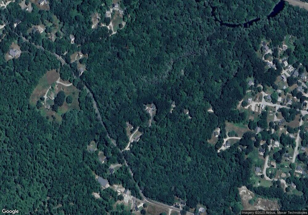
Map
Nearby Homes
- 65 Columbia Heights Oval
- 193 Shannock Village Rd
- 4115 S County Trail
- 56 North Rd
- 0 S County Trail
- 0 Pasquisett Trail
- 10 Debra Dr
- 62 Biscuit City Rd
- 5 Bracken Hill Ct
- 57 Auburn Dr
- 138 Dover Ln
- 982 Wordens Pond Rd
- 20 Auburn Dr
- 22-38 Lewis Trail
- 197 Old Coach Rd
- 131 Little Pond Rd
- 155 Kings Factory Rd
- 181 Little Pond Rd
- 18 Comfort Ln
- 358 Shannock Rd
- 97 Sand Plain Rd
- 97 Sand Plain Rd Unit F
- 97 Sand Plain Rd Unit D
- 97 Sand Plain Rd Unit A
- 97 Sand Plain Rd Unit B
- 97B Sand Plain Rd
- 97C Sand Plain Rd
- 97D Sand Plain Rd
- 104A Sand Plain Rd
- 104B Sand Plain Rd
- 97F Sand Plain Rd
- 129 Sand Plain Rd
- 130 Sand Plain Rd
- 74 Sand Plain Rd
- 137 Sand Plain Rd
- 67 Sand Plain Rd
- 66 Columbia Heights Oval
- 143 Sand Plain Rd
- 62 Sand Plain Rd
- 57 Sand Plain Rd
Your Personal Tour Guide
Ask me questions while you tour the home.