9709 S Fork Rd Moorefield, WV 26836
Estimated Value: $51,000 - $312,000
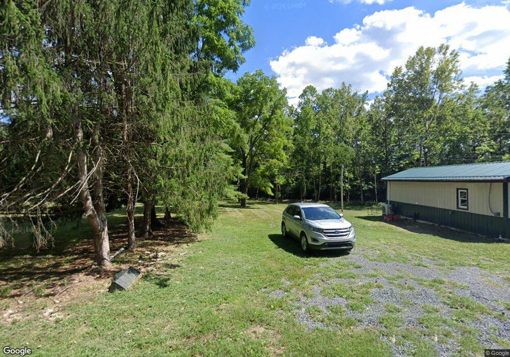
About This Home
This home is located at 9709 S Fork Rd, Moorefield, WV 26836 and is currently estimated at $179,667, approximately $330 per square foot. 9709 S Fork Rd is a home located in Hardy County with nearby schools including Moorefield Elementary School, Moorefield Intermediate School, and Moorefield Middle School.
Ownership History
We collect this data history from publicly available records. To have your information removed, we recommend requesting removal directly through your county’s website.
Purchase Details
Purchase Details
Purchase Details
Purchase History
We collect this data history from publicly available records. To have your information removed, we recommend requesting removal directly through your county’s website.
| Date | Buyer | Sale Price | Title Company |
|---|---|---|---|
| $28,000 | None Listed On Document | ||
| -- | None Available | ||
| $70,000 | -- |
Tax History
We collect this data history from publicly available records. To have your information removed, we recommend requesting removal directly through your county’s website.
| Year | Tax Paid | Tax Assessment Tax Assessment Total Assessment is a certain percentage of the fair market value that is determined by local assessors to be the total taxable value of land and additions on the property. | Land | Improvement |
|---|---|---|---|---|
| 2025 | $596 | $38,770 | $18,430 | $20,340 |
| 2024 | $585 | $37,980 | $18,420 | $19,560 |
| 2023 | $257 | $16,630 | $16,630 | $0 |
| 2022 | $259 | $16,630 | $16,630 | $0 |
| 2021 | $259 | $16,620 | $16,620 | $0 |
| 2020 | $318 | $41,050 | $19,210 | $21,840 |
| 2019 | $337 | $43,150 | $19,210 | $23,940 |
| 2018 | $337 | $43,140 | $19,200 | $23,940 |
| 2017 | $337 | $43,150 | $19,210 | $23,940 |
| 2016 | $339 | $43,140 | $19,200 | $23,940 |
| 2015 | $339 | $43,170 | $19,200 | $23,970 |
| 2014 | $344 | $43,830 | $19,200 | $24,630 |
Map
- 0 Stump Ln
- 70 Greenwood Dr
- 6 ac Mountain Acres Loop
- 949 Dumpling Run Rd
- 435 Summit Dr
- 7 Dumpling Run Rd
- 1030 Kites Rd
- 792 Forest Glen Rd
- 64 Trout Pass Park Rd
- 137 Hedrick Dr
- 500 Maryvale Ln
- 1 Pepsi Ln
- 1789 Helmick Rock Rd
- 1956 Dove Hollow Rd
- 105 S Main St
- 395 Point Dr
- 22 Mountain View St
- 1085 Frosty Hollow Rd
- 216 N Main St
- 12 & 14A Cedcarwood
- 9667 S Fork Rd
- 9667 S Fork Rd
- 9601 S Fork Rd
- 9601 S Fork Rd
- 9570 W of Rt 7
- 9812 S Fork Rd
- 9518 S Fork Rd
- 9494 W of Rt 7
- 267 Twin Bridge Ln
- 10138 S Fork Rd
- 211 Twin Bridge Dr
- 900 Wolfe Mountain Rd
- 9318 S Fork Rd
- 282 Bass Ln
- 0 Wolfe Ridge Unit 1006891746
- 0 Wolfe Ridge Unit HD7752020
- 0 Wolfe-Mountain Rd Unit 1006990786
- 0 Wolfe-Mountain Rd Unit 1000146501
- 62.23 ACRES Wolfe Mountain Rd
- 59 ACRES Wolfe Mountain Rd
Ask me questions while you tour the home.