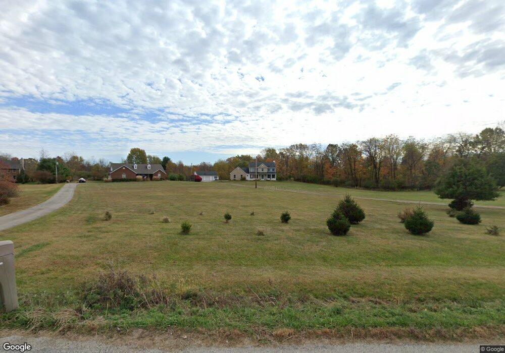
971 Dunham Rd Delaware, OH 43015
Berlin NeighborhoodEstimated Value: $578,000 - $741,000
4
Beds
3
Baths
2,584
Sq Ft
$248/Sq Ft
Est. Value
About This Home
This home is located at 971 Dunham Rd, Delaware, OH 43015 and is currently estimated at $640,469, approximately $247 per square foot. 971 Dunham Rd is a home located in Delaware County with nearby schools including Johnnycake Corners Elementary School, Berkshire Middle School, and Olentangy Berlin High School.
Ownership History
Date
Name
Owned For
Owner Type
Purchase Details
Closed on
Feb 15, 2000
Sold by
Keller Jeffrey T
Bought by
D'Amico Thomas A and D'Amico Mary Beth
Current Estimated Value
Home Financials for this Owner
Home Financials are based on the most recent Mortgage that was taken out on this home.
Original Mortgage
$55,100
Interest Rate
8.08%
Mortgage Type
New Conventional
Create a Home Valuation Report for This Property
The Home Valuation Report is an in-depth analysis detailing your home's value as well as a comparison with similar homes in the area
Home Values in the Area
Average Home Value in this Area
Purchase History
| Date | Buyer | Sale Price | Title Company |
|---|---|---|---|
| D'Amico Thomas A | $58,000 | -- |
Source: Public Records
Mortgage History
| Date | Status | Borrower | Loan Amount |
|---|---|---|---|
| Closed | D'Amico Thomas A | $55,100 |
Source: Public Records
Tax History
| Year | Tax Paid | Tax Assessment Tax Assessment Total Assessment is a certain percentage of the fair market value that is determined by local assessors to be the total taxable value of land and additions on the property. | Land | Improvement |
|---|---|---|---|---|
| 2024 | $9,915 | $189,250 | $42,250 | $147,000 |
| 2023 | $9,962 | $189,250 | $42,250 | $147,000 |
| 2022 | $9,886 | $148,690 | $32,940 | $115,750 |
| 2021 | $9,960 | $148,690 | $32,940 | $115,750 |
| 2020 | $10,018 | $148,690 | $32,940 | $115,750 |
| 2019 | $8,025 | $123,900 | $27,440 | $96,460 |
| 2018 | $8,076 | $123,900 | $27,440 | $96,460 |
| 2017 | $7,304 | $110,400 | $22,790 | $87,610 |
| 2016 | $7,336 | $110,400 | $22,790 | $87,610 |
| 2015 | $6,611 | $110,400 | $22,790 | $87,610 |
| 2014 | $6,706 | $110,400 | $22,790 | $87,610 |
| 2013 | $6,607 | $106,230 | $22,790 | $83,440 |
Source: Public Records
Map
Nearby Homes
- 1160 Forsyth Ln
- 5808 Sycamore Trail Dr
- 5932 McClellon Dr
- 6448 Creekside Cir
- 6481 Sherman Rd
- 357 N Three B's & K Rd
- 6824 Linda Ln
- 1265 Steller Dr Unit Lot 2936
- 1245 Steller Dr Unit Lot 2576
- 1264 Steller Dr Unit Lot 2935
- 1533 Maple Heights Dr
- 1521 Maple Heights Dr
- 1074 Solitary St Unit Lot 2586
- 1149 Solitary St Unit Lot 2930
- 1086 Solitary St Unit Lot 2588
- 1481 Maple Heights Dr
- 1094 Solitary St Unit Lot 2589
- 1102 Solitary St Unit Lot 2590
- 1110 Solitary St Unit Lot 2591
- 1118 Solitary St Unit Lot 2592
- 963 Dunham Rd
- 929 Dunham Rd
- 1023 Dunham Rd
- 1023 County Road 10 A
- 883 Dunham Rd
- 1111 Dunham Rd
- 1135 Dunham Rd
- 1135 County Road 10 A
- 1165 Dunham Rd
- 1165 County Road 10 A
- 735 Dunham Rd
- 1176 Dunham Rd
- 1201 Dunham Rd
- 1237 Dunham Rd
- 0 County Road 10 A Unit 2013392
- 0 County Road 10 A Unit 2007946
- 0 County Road 10 A Unit 2007943
- 0 County Road 10 A Unit 67492
- 0 County Road 10 A Unit 9928734
- 0 County Road 10 A Unit 9928730
Your Personal Tour Guide
Ask me questions while you tour the home.