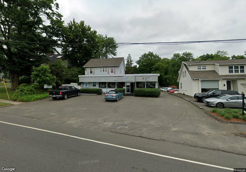
971 Post Rd E Westport, CT 06880
Staples NeighborhoodEstimated Value: $1,800,536
Studio
--
Bath
--
Sq Ft
18,731
Sq Ft Lot
About This Home
This home is located at 971 Post Rd E, Westport, CT 06880 and is currently estimated at $1,800,536. 971 Post Rd E is a home located in Fairfield County with nearby schools including Long Lots School, Bedford Middle School, and Staples High School.
Ownership History
Date
Name
Owned For
Owner Type
Purchase Details
Closed on
Nov 10, 2025
Sold by
Rembrandt Rlty & Travel L
Bought by
Avoric Denver Re Llc
Current Estimated Value
Purchase Details
Closed on
Feb 5, 2010
Sold by
971 Post Realty Llc
Bought by
Rembrondt Rlty & Travel
Home Financials for this Owner
Home Financials are based on the most recent Mortgage that was taken out on this home.
Original Mortgage
$525,000
Interest Rate
6%
Mortgage Type
Commercial
Purchase Details
Closed on
Mar 22, 2004
Sold by
Hemson 3Rd William S and Hemson Kathleen
Bought by
Protano Annino
Create a Home Valuation Report for This Property
The Home Valuation Report is an in-depth analysis detailing your home's value as well as a comparison with similar homes in the area
Home Values in the Area
Average Home Value in this Area
Purchase History
| Date | Buyer | Sale Price | Title Company |
|---|---|---|---|
| Avoric Denver Re Llc | $1,792,000 | -- | |
| Rembrondt Rlty & Travel | $1,525,000 | -- | |
| Rembrondt Rlty & Travel | $1,525,000 | -- | |
| Protano Annino | $1,200,000 | -- | |
| Protano Annino | $1,200,000 | -- |
Source: Public Records
Mortgage History
| Date | Status | Borrower | Loan Amount |
|---|---|---|---|
| Previous Owner | Protano Annino | $350,000 | |
| Previous Owner | Protano Annino | $150,000 | |
| Previous Owner | Protano Annino | $525,000 |
Source: Public Records
Tax History
| Year | Tax Paid | Tax Assessment Tax Assessment Total Assessment is a certain percentage of the fair market value that is determined by local assessors to be the total taxable value of land and additions on the property. | Land | Improvement |
|---|---|---|---|---|
| 2025 | $20,522 | $1,088,100 | $737,800 | $350,300 |
| 2024 | $20,260 | $1,088,100 | $737,800 | $350,300 |
| 2023 | $19,967 | $1,088,100 | $737,800 | $350,300 |
| 2022 | $19,662 | $1,088,100 | $737,800 | $350,300 |
| 2021 | $19,662 | $1,088,100 | $737,800 | $350,300 |
| 2020 | $19,290 | $1,154,400 | $819,800 | $334,600 |
| 2019 | $19,463 | $1,154,400 | $819,800 | $334,600 |
| 2018 | $19,463 | $1,154,400 | $819,800 | $334,600 |
| 2017 | $19,463 | $1,154,400 | $819,800 | $334,600 |
| 2016 | $19,463 | $1,154,400 | $819,800 | $334,600 |
| 2015 | $18,401 | $1,017,200 | $555,700 | $461,500 |
| 2014 | $18,249 | $1,017,200 | $555,700 | $461,500 |
Source: Public Records
Map
Nearby Homes
- 20 Hickory Dr
- 8 Iris Ln
- 4 Burr Farms Rd
- 785 Post Rd E Unit 302
- 785 Post Rd E Unit 102
- 783 Post Rd E Unit 201
- 781 Post Rd E Unit 104
- 26 Morningside Dr S
- 14 Burr School Rd
- 21 Turkey Hill Rd N
- 28 Turkey Hill Rd N
- 32 Webb Rd
- 25 Ellery Ln
- 55 Center St
- 25 Old Rd
- 1 Flower Farm Ln
- 26 Crescent Park Rd
- 9 Crescent Park Rd
- 36 Bauer Place
- 3 Bowling Ln
Your Personal Tour Guide
Ask me questions while you tour the home.