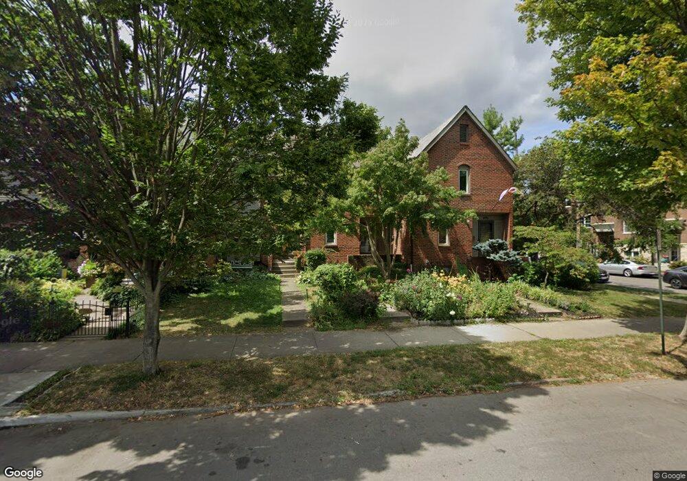
973 Dennison Ave Columbus, OH 43201
Victorian Village NeighborhoodEstimated Value: $399,091 - $473,000
2
Beds
2
Baths
1,174
Sq Ft
$368/Sq Ft
Est. Value
About This Home
This home is located at 973 Dennison Ave, Columbus, OH 43201 and is currently estimated at $432,273, approximately $368 per square foot. 973 Dennison Ave is a home located in Franklin County with nearby schools including Hubbard Elementary School, Dominion Middle School, and Whetstone High School.
Ownership History
Date
Name
Owned For
Owner Type
Purchase Details
Closed on
Mar 9, 1998
Sold by
Fee Cassandra K
Bought by
Windisch Carolyn and Windisch Christine Marie
Current Estimated Value
Purchase Details
Closed on
Jun 29, 1995
Sold by
Motta Michael R
Bought by
Cassandra K Fee
Home Financials for this Owner
Home Financials are based on the most recent Mortgage that was taken out on this home.
Original Mortgage
$123,300
Interest Rate
7.88%
Mortgage Type
New Conventional
Purchase Details
Closed on
Nov 2, 1990
Create a Home Valuation Report for This Property
The Home Valuation Report is an in-depth analysis detailing your home's value as well as a comparison with similar homes in the area
Home Values in the Area
Average Home Value in this Area
Purchase History
| Date | Buyer | Sale Price | Title Company |
|---|---|---|---|
| Windisch Carolyn | $150,000 | Amerititle | |
| Cassandra K Fee | $137,000 | -- | |
| -- | $90,400 | -- |
Source: Public Records
Mortgage History
| Date | Status | Borrower | Loan Amount |
|---|---|---|---|
| Closed | Cassandra K Fee | $123,300 |
Source: Public Records
Tax History
| Year | Tax Paid | Tax Assessment Tax Assessment Total Assessment is a certain percentage of the fair market value that is determined by local assessors to be the total taxable value of land and additions on the property. | Land | Improvement |
|---|---|---|---|---|
| 2025 | $5,423 | $116,830 | $57,750 | $59,080 |
| 2024 | $5,423 | $116,830 | $57,750 | $59,080 |
| 2023 | $5,287 | $116,830 | $57,750 | $59,080 |
| 2022 | $7,091 | $122,540 | $39,900 | $82,640 |
| 2021 | $6,524 | $122,540 | $39,900 | $82,640 |
| 2020 | $6,533 | $122,540 | $39,900 | $82,640 |
| 2019 | $6,368 | $102,410 | $33,250 | $69,160 |
| 2018 | $5,885 | $102,410 | $33,250 | $69,160 |
| 2017 | $6,156 | $102,410 | $33,250 | $69,160 |
| 2016 | $5,945 | $87,500 | $27,720 | $59,780 |
| 2015 | $5,412 | $87,500 | $27,720 | $59,780 |
| 2014 | $6,128 | $98,840 | $27,720 | $71,120 |
| 2013 | $2,798 | $89,845 | $25,200 | $64,645 |
Source: Public Records
Map
Nearby Homes
- 1001 Dennison Ave
- 1025 Hunter Ave
- 201 W 2nd Ave Unit 201
- 1029 Hunter Ave
- 140 Price Ave
- 981 Highland St
- 107 Aston Row Ln
- 915 Dennison Ave Unit 915
- 80 W Starr Ave
- 1042 Neil Ave
- 1098 Highland St
- 213 Wilber Ave
- 319 W 2nd Ave Unit 319
- 17 W 3rd Ave Unit 212
- 17 W 3rd Ave Unit 213
- 21 W 3rd Ave Unit 100C
- 244-246 W Hubbard Ave
- 994 Harrison Ave
- 231 W 4th Ave
- 217 W Hubbard Ave
- 975 Dennison Ave
- 971 Dennison Ave
- 969 Dennison Ave
- 164 W 2nd Ave
- 967 Dennison Ave
- 965 Dennison Ave
- 164 E 2nd Ave
- 158 E 2nd Ave
- 158 W 2nd Ave
- 963 Dennison Ave
- 174 W 2nd Ave
- 993 Dennison Ave
- 993 Dennison Ave Unit 6
- 995 Ewing Aly
- 749 Dennison Ave
- 961 Dennison Ave
- 1000 Ewing Aly
- 986.5 Hunter Ave
- 984 Hunter Ave Unit 984.5
- 986 Hunter Ave Unit 986.5
Your Personal Tour Guide
Ask me questions while you tour the home.