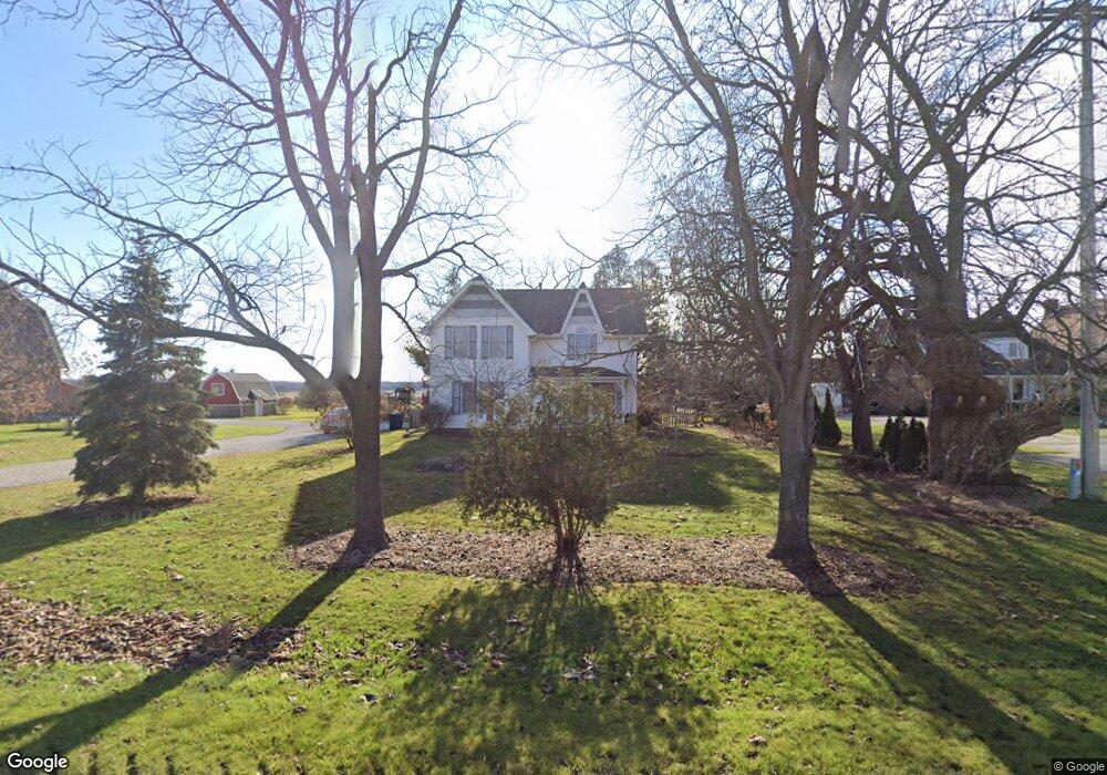
9731 Dolan Rd Columbus, MI 48063
Estimated Value: $360,412 - $515,000
4
Beds
2
Baths
2,198
Sq Ft
$195/Sq Ft
Est. Value
About This Home
This home is located at 9731 Dolan Rd, Columbus, MI 48063 and is currently estimated at $428,103, approximately $194 per square foot. 9731 Dolan Rd is a home located in St. Clair County with nearby schools including Will L. Lee School, Richmond Middle School, and Richmond Community High School.
Ownership History
Date
Name
Owned For
Owner Type
Purchase Details
Closed on
Jun 5, 2023
Sold by
Minko Michael A and Minko Jaimie L
Bought by
Minko Revocable Trust
Current Estimated Value
Purchase Details
Closed on
Dec 23, 2019
Sold by
Rabine Sandra J
Bought by
Minko Jaimie and Minko Michael
Home Financials for this Owner
Home Financials are based on the most recent Mortgage that was taken out on this home.
Original Mortgage
$218,450
Interest Rate
3.6%
Mortgage Type
New Conventional
Purchase Details
Closed on
Nov 20, 2015
Sold by
Rabine David M
Bought by
Rabine Sandra J
Create a Home Valuation Report for This Property
The Home Valuation Report is an in-depth analysis detailing your home's value as well as a comparison with similar homes in the area
Home Values in the Area
Average Home Value in this Area
Purchase History
| Date | Buyer | Sale Price | Title Company |
|---|---|---|---|
| Minko Revocable Trust | -- | None Listed On Document | |
| Minko Jaimie | $257,000 | Devon Title Agency | |
| Rabine Sandra J | -- | -- |
Source: Public Records
Mortgage History
| Date | Status | Borrower | Loan Amount |
|---|---|---|---|
| Previous Owner | Minko Jaimie | $218,450 |
Source: Public Records
Tax History
| Year | Tax Paid | Tax Assessment Tax Assessment Total Assessment is a certain percentage of the fair market value that is determined by local assessors to be the total taxable value of land and additions on the property. | Land | Improvement |
|---|---|---|---|---|
| 2025 | $2,262 | $167,400 | $0 | $0 |
| 2024 | $2,219 | $146,900 | $0 | $0 |
| 2023 | $2,143 | $136,300 | $0 | $0 |
| 2022 | $3,248 | $123,100 | $0 | $0 |
| 2020 | $3,055 | $105,600 | $105,600 | $0 |
| 2019 | $1,833 | $101,400 | $0 | $0 |
| 2018 | $1,830 | $96,900 | $0 | $0 |
| 2017 | $1,633 | $95,400 | $0 | $0 |
| 2016 | $1,334 | $95,400 | $0 | $0 |
| 2015 | -- | $79,600 | $79,600 | $0 |
| 2014 | -- | $79,900 | $79,900 | $0 |
| 2013 | -- | $59,800 | $0 | $0 |
Source: Public Records
Map
Nearby Homes
- 0 Bauman Rd Unit 50090600
- 00 Weber Rd
- 9227 Yager Rd
- 9977 Weber Rd
- 9224 Weber Rd
- 0 00 Weber Rd 4001 - 090 Parcel 10 Rd
- 0 00 Weber Rd 4001 - 080 Parcel 9 Rd
- 0 00 Weber Rd 4001-001 Parcel 1 Rd Unit 50159551
- 00 Kroner Rd 4001 - 010 Parcel 2 Roads
- 0 00 Kroner Rd 4001 - 040 Parcel 5 Rd Unit 50159557
- 0 00 Kroner Rd 4001 - 060 Parcel 7 Rd Unit 50159560
- 0 00 Meskill Rd 4001 - 070 Parcel 8 & 1001-000 Rd Unit 50159561
- 9777 Lambs Rd
- 8665 Meskill Rd
- 8840 Marquette Rd
- 0000 Division Rd
- 000 Meskill Rd
- 0 Main St
- 34746 Benton St
- 34720 W Maple St
Your Personal Tour Guide
Ask me questions while you tour the home.