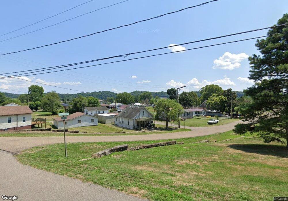
974 Broadway St Middleport, OH 45760
Estimated Value: $53,410 - $86,000
Studio
1
Bath
840
Sq Ft
$90/Sq Ft
Est. Value
About This Home
This home is located at 974 Broadway St, Middleport, OH 45760 and is currently estimated at $75,603, approximately $90 per square foot. 974 Broadway St is a home located in Meigs County with nearby schools including Meigs Primary School, Meigs Intermediate School, and Meigs Middle School.
Ownership History
Date
Name
Owned For
Owner Type
Purchase Details
Closed on
Mar 19, 2019
Sold by
Yeauger Debra A and Yeauger Jerry
Bought by
Core Otis H and Core Rhonda M
Current Estimated Value
Purchase Details
Closed on
May 20, 2009
Sold by
Rawson Zora
Bought by
Yeauger Debra A
Create a Home Valuation Report for This Property
The Home Valuation Report is an in-depth analysis detailing your home's value as well as a comparison with similar homes in the area
Purchase History
| Date | Buyer | Sale Price | Title Company |
|---|---|---|---|
| Core Otis H | $39,000 | None Available | |
| Yeauger Debra A | -- | None Available |
Source: Public Records
Mortgage History
| Date | Status | Borrower | Loan Amount |
|---|---|---|---|
| Closed | Core Otis H | $0 |
Source: Public Records
Tax History
| Year | Tax Paid | Tax Assessment Tax Assessment Total Assessment is a certain percentage of the fair market value that is determined by local assessors to be the total taxable value of land and additions on the property. | Land | Improvement |
|---|---|---|---|---|
| 2025 | $475 | $12,250 | $4,930 | $7,320 |
| 2024 | $475 | $14,360 | $4,250 | $10,110 |
| 2023 | $582 | $14,360 | $4,250 | $10,110 |
| 2022 | $564 | $14,360 | $4,250 | $10,110 |
| 2021 | $643 | $14,290 | $3,830 | $10,460 |
| 2020 | $648 | $14,290 | $3,830 | $10,460 |
| 2019 | $641 | $14,290 | $3,830 | $10,460 |
| 2018 | $538 | $12,270 | $2,560 | $9,710 |
| 2017 | $538 | $12,270 | $2,560 | $9,710 |
| 2016 | $546 | $12,270 | $2,560 | $9,710 |
| 2014 | $483 | $11,630 | $2,050 | $9,580 |
| 2013 | $483 | $11,630 | $2,050 | $9,580 |
Source: Public Records
Map
Nearby Homes
Your Personal Tour Guide
Ask me questions while you tour the home.