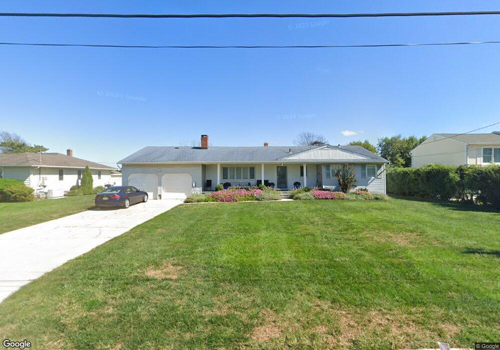
975 Leslie Ct Long Branch, NJ 07740
Estimated Value: $1,568,129 - $2,339,000
3
Beds
2
Baths
1,810
Sq Ft
$1,027/Sq Ft
Est. Value
About This Home
This home is located at 975 Leslie Ct, Long Branch, NJ 07740 and is currently estimated at $1,859,032, approximately $1,027 per square foot. 975 Leslie Ct is a home located in Monmouth County with nearby schools including Long Branch High School, Holy Trinity School, and Bet Yaakov of the Jersey Shore.
Ownership History
Date
Name
Owned For
Owner Type
Purchase Details
Closed on
May 8, 2003
Sold by
Sachs Irene
Bought by
Mosseri Joseph and Mosseri Sandra
Current Estimated Value
Home Financials for this Owner
Home Financials are based on the most recent Mortgage that was taken out on this home.
Original Mortgage
$322,000
Interest Rate
5.34%
Create a Home Valuation Report for This Property
The Home Valuation Report is an in-depth analysis detailing your home's value as well as a comparison with similar homes in the area
Home Values in the Area
Average Home Value in this Area
Purchase History
We collect this data history from publicly available records. To have your information removed, we recommend requesting removal directly through your county’s website.
| Date | Buyer | Sale Price | Title Company |
|---|---|---|---|
| Mosseri Joseph | $422,400 | -- |
Source: Public Records
Mortgage History
We collect this data history from publicly available records. To have your information removed, we recommend requesting removal directly through your county’s website.
| Date | Status | Borrower | Loan Amount |
|---|---|---|---|
| Previous Owner | Mosseri Joseph | $322,000 |
Source: Public Records
Tax History
| Year | Tax Paid | Tax Assessment Tax Assessment Total Assessment is a certain percentage of the fair market value that is determined by local assessors to be the total taxable value of land and additions on the property. | Land | Improvement |
|---|---|---|---|---|
| 2025 | $11,432 | $1,063,700 | $811,500 | $252,200 |
| 2024 | $11,380 | $743,800 | $502,500 | $241,300 |
| 2023 | $11,380 | $732,800 | $502,500 | $230,300 |
| 2022 | $12,724 | $655,400 | $452,500 | $202,900 |
| 2021 | $12,724 | $635,900 | $427,500 | $208,400 |
| 2020 | $13,161 | $629,700 | $422,500 | $207,200 |
| 2019 | $13,032 | $620,000 | $422,500 | $197,500 |
| 2018 | $12,955 | $612,800 | $422,500 | $190,300 |
| 2017 | $12,556 | $609,200 | $422,500 | $186,700 |
| 2016 | $12,619 | $624,400 | $442,500 | $181,900 |
| 2015 | $13,268 | $595,800 | $403,800 | $192,000 |
| 2014 | $16,648 | $787,900 | $617,500 | $170,400 |
Source: Public Records
Map
Nearby Homes
- 919 Ocean Ave N
- 927 Woodgate Ave
- 787 Ocean Ave N Unit 909
- 787 Ocean Ave N Unit 1402
- 787 Ocean Ave Unit 908
- 787 Ocean Ave Unit 608
- 787 Ocean Ave Unit 1504
- 787 Ocean Ave Unit 710
- 787 Ocean Ave Unit 702
- 251 Highland Ave
- 1 Private Dr
- 265 Highland Ave
- 735 Greens Ave Unit 20B
- 735 Greens Ave Unit 18A
- 735 Greens Ave Unit 7B
- 280 Highland Ave
- 101 Lincoln Ave
- 3 Reid St
- 929 van Court Ave
- 717 Ocean Ave N Unit 305
Your Personal Tour Guide
Ask me questions while you tour the home.