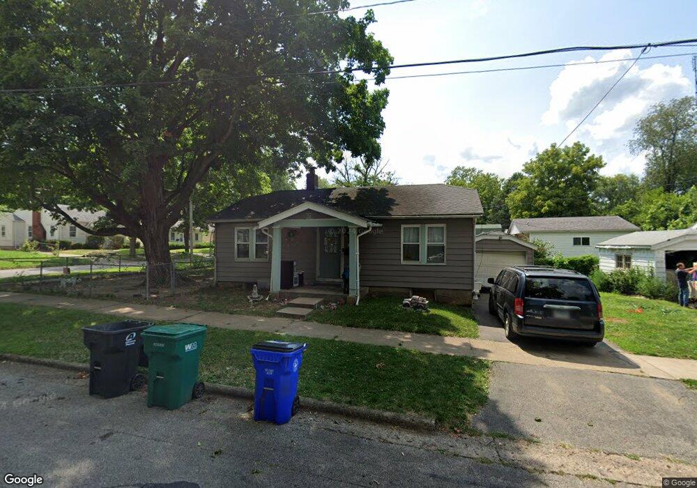
975 N Dunham Ave Decatur, IL 62522
Garfield Park NeighborhoodEstimated Value: $32,426 - $42,000
Studio
--
Bath
884
Sq Ft
$42/Sq Ft
Est. Value
About This Home
This home is located at 975 N Dunham Ave, Decatur, IL 62522 and is currently estimated at $36,857, approximately $41 per square foot. 975 N Dunham Ave is a home located in Macon County with nearby schools including Stephen Decatur Middle School, St. Patrick School, and Teen Challenge-Home For Girls.
Ownership History
Date
Name
Owned For
Owner Type
Purchase Details
Closed on
Jan 27, 2017
Sold by
Hurtado Carlos S
Bought by
Clyburn Jerry A
Current Estimated Value
Purchase Details
Closed on
Feb 17, 2012
Sold by
Yoder Reuben
Bought by
Clyburn Jerry A and Burtado Carlos S
Purchase Details
Closed on
Jan 31, 2012
Sold by
Lewis Clyde and Lewis Doris A
Bought by
Yoder Reuben
Purchase Details
Closed on
May 16, 2008
Sold by
Klaus Richard S and Binge Kathy
Bought by
Lewis Clyde and Lewis Doris
Purchase Details
Closed on
Jul 1, 1985
Create a Home Valuation Report for This Property
The Home Valuation Report is an in-depth analysis detailing your home's value as well as a comparison with similar homes in the area
Home Values in the Area
Average Home Value in this Area
Purchase History
| Date | Buyer | Sale Price | Title Company |
|---|---|---|---|
| Clyburn Jerry A | -- | Attorney | |
| Clyburn Jerry A | $15,000 | None Available | |
| Yoder Reuben | $10,000 | None Available | |
| Lewis Clyde | $9,000 | None Available | |
| -- | $8,500 | -- |
Source: Public Records
Tax History
| Year | Tax Paid | Tax Assessment Tax Assessment Total Assessment is a certain percentage of the fair market value that is determined by local assessors to be the total taxable value of land and additions on the property. | Land | Improvement |
|---|---|---|---|---|
| 2024 | $302 | $6,251 | $437 | $5,814 |
| 2023 | $600 | $6,030 | $422 | $5,608 |
| 2022 | $581 | $5,685 | $390 | $5,295 |
| 2021 | $546 | $5,310 | $365 | $4,945 |
| 2020 | $539 | $5,065 | $349 | $4,716 |
| 2019 | $539 | $5,065 | $349 | $4,716 |
| 2018 | $569 | $5,415 | $157 | $5,258 |
| 2017 | $582 | $5,559 | $161 | $5,398 |
| 2016 | $593 | $5,616 | $163 | $5,453 |
| 2015 | $564 | $5,517 | $160 | $5,357 |
| 2014 | $546 | $5,697 | $202 | $5,495 |
| 2013 | $564 | $5,911 | $210 | $5,701 |
Source: Public Records
Map
Nearby Homes
- 960 W Green St
- 1097 W Green St
- 1213 W Marietta St
- 979 W Cerro Gordo St
- 1025 N Wilder Ave
- 1329 N Walnut Grove Ave
- 1368 W Marietta St
- 1429 N Walnut Grove Ave
- 958 W William St
- 1124 W Cushing St
- 254 N Pine St
- 1075 W Prairie Ave
- 1653 N Maple Ave
- 717 W Prairie Ave Unit 2
- 1659 N Maple Ave
- 899 W Main St
- 1557 W Center St
- 235 N Park Place
- 644 W Division St
- 254 W Leafland Ave
- 975 N Dunham St
- 1014 W View St
- 985 N Dunham Ave
- 1024 W View St
- 990 W View St
- 1005 W View St
- 991 N Dunham Ave
- 955 N Dunham Ave
- 1015 W View St
- 955 N Dunham St
- 1034 W View St
- 999 W View St
- 980 N Dunham Ave
- 943 N Dunham Ave
- 988 W View St
- 984 W View St
- 1015 W Marietta St
- 997 N Dunham St
- 1042 W View St
- 983 W View St
Your Personal Tour Guide
Ask me questions while you tour the home.