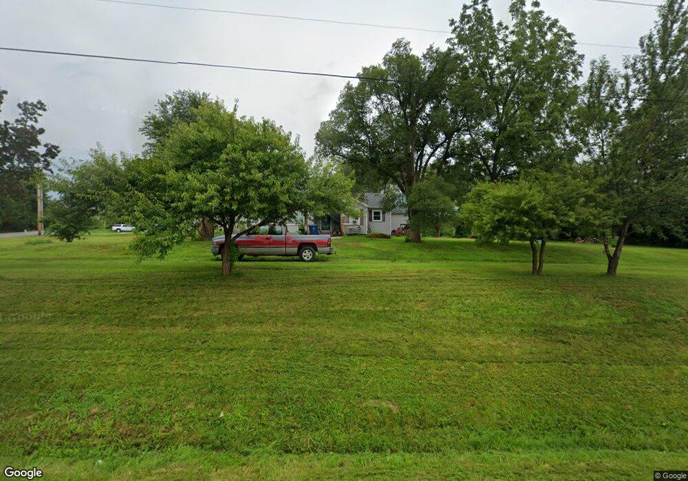
9781 State Road Ae New Bloomfield, MO 65063
Estimated Value: $120,563 - $241,000
3
Beds
2
Baths
1,176
Sq Ft
$157/Sq Ft
Est. Value
About This Home
This home is located at 9781 State Road Ae, New Bloomfield, MO 65063 and is currently estimated at $184,141, approximately $156 per square foot. 9781 State Road Ae is a home located in Callaway County with nearby schools including New Bloomfield Elementary School and New Bloomfield High School.
Ownership History
Date
Name
Owned For
Owner Type
Purchase Details
Closed on
Aug 21, 2009
Sold by
Homesales Inc
Bought by
Quomby Cary L and Quomby Stacey L
Current Estimated Value
Home Financials for this Owner
Home Financials are based on the most recent Mortgage that was taken out on this home.
Original Mortgage
$68,753
Outstanding Balance
$48,159
Interest Rate
5.12%
Mortgage Type
USDA
Estimated Equity
$135,982
Purchase Details
Closed on
Jun 29, 2007
Sold by
Werdahausen Norbert and Werdahausen Rhonda
Bought by
Meite James David
Purchase Details
Closed on
Dec 28, 2006
Sold by
Deutsche Bank National Trust Co
Bought by
Berdekausen Norbert
Create a Home Valuation Report for This Property
The Home Valuation Report is an in-depth analysis detailing your home's value as well as a comparison with similar homes in the area
Purchase History
| Date | Buyer | Sale Price | Title Company |
|---|---|---|---|
| Quomby Cary L | -- | None Available | |
| Meite James David | -- | -- | |
| Berdekausen Norbert | -- | -- |
Source: Public Records
Mortgage History
| Date | Status | Borrower | Loan Amount |
|---|---|---|---|
| Open | Quomby Cary L | $68,753 |
Source: Public Records
Tax History
| Year | Tax Paid | Tax Assessment Tax Assessment Total Assessment is a certain percentage of the fair market value that is determined by local assessors to be the total taxable value of land and additions on the property. | Land | Improvement |
|---|---|---|---|---|
| 2025 | $622 | $9,093 | $0 | $0 |
| 2024 | $622 | $9,093 | $0 | $0 |
| 2023 | $626 | $8,618 | $0 | $0 |
| 2022 | $592 | $8,618 | $1,026 | $7,592 |
| 2021 | $592 | $8,618 | $1,026 | $7,592 |
| 2020 | $593 | $8,618 | $1,026 | $7,592 |
| 2019 | $555 | $8,618 | $1,026 | $7,592 |
| 2018 | $559 | $8,618 | $1,026 | $7,592 |
| 2017 | $563 | $8,618 | $1,026 | $7,592 |
| 2016 | $562 | $8,440 | $0 | $0 |
| 2015 | $588 | $8,440 | $0 | $0 |
| 2014 | $572 | $8,440 | $0 | $0 |
Source: Public Records
Map
Nearby Homes
- 210 State Road Ae
- 10163 County Road 367
- 2143 Milanda Lake Rd Unit A & B
- 11 N Larand Dr
- 108 S Larand Dr
- 10872 Country Aire Meadows Ct
- 10872 Country Ln
- 10873 Country Aire Meadows Ct
- 10873 Country Ln
- TBD LOT 39 Payne Farm
- TBD 53 Acres County Rd 362
- TBD + -53 Acres County Rd 362
- 0 + - 53 Acres County Rd 362
- 2650 Eagle View Spur
- 2670 Eagle View Spur
- 58 Kirk Dr
- 61 Kirk Dr
- 54 Kirk Dr
- 60 Kirk Dr
- 56 Kirk Dr
- 9768 State Road Ae
- 2677 Meadow Lake Dr
- 2643 Meadow Lake Dr
- 2637 Meadow Lake Dr
- 2600 Meadow Lake Dr
- 9704 State Road Ae
- 2100 Meadow Lake Dr
- 9702 State Road Ae
- 9703 State Road Ae
- 0 State Road Ae
- 9676 State Road Ae
- 9910 Platinum Rd
- 9664 Eagles Nest Dr
- 2632 Country Club Dr
- 2626 Country Club Dr
- 2638 Country Club Dr
- 2642 Country Club Dr
- 2646 Country Club Dr
- 2614 Country Club Dr
- 2650 Country Club Dr
Your Personal Tour Guide
Ask me questions while you tour the home.