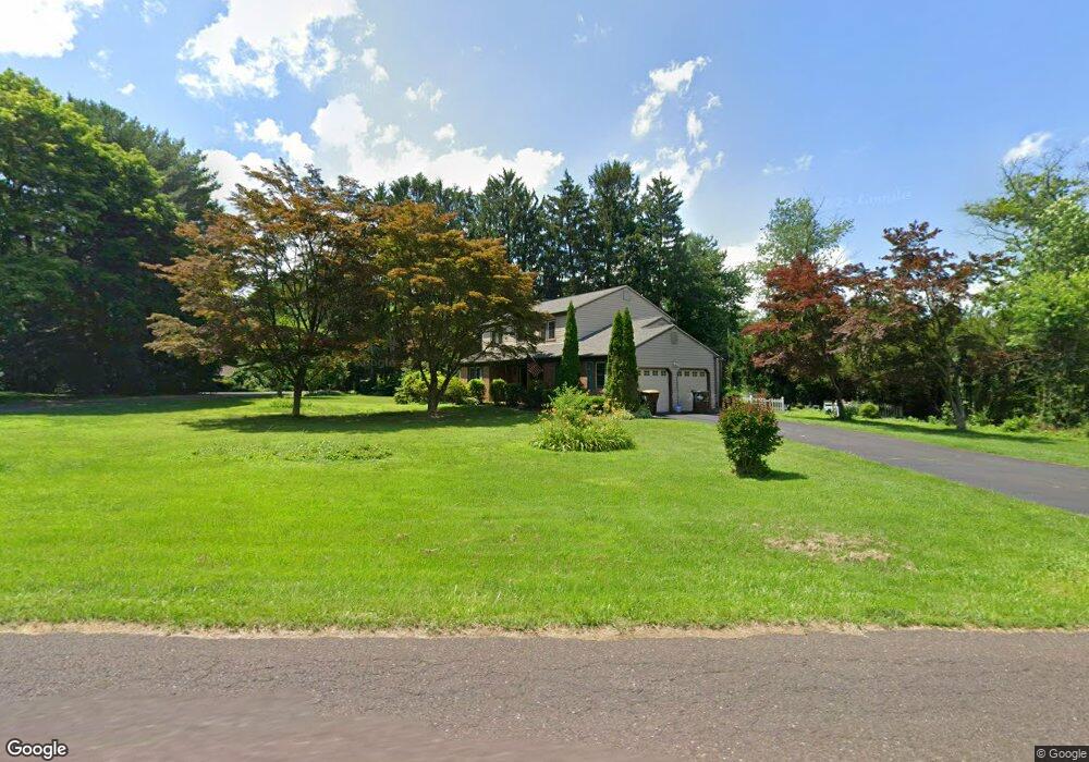
98 Campbell Ave Doylestown, PA 18901
Estimated Value: $561,000 - $781,000
4
Beds
3
Baths
2,283
Sq Ft
$293/Sq Ft
Est. Value
About This Home
This home is located at 98 Campbell Ave, Doylestown, PA 18901 and is currently estimated at $669,027, approximately $293 per square foot. 98 Campbell Ave is a home located in Bucks County with nearby schools including Linden El School, Lenape Middle School, and Central Bucks High School-West.
Ownership History
Date
Name
Owned For
Owner Type
Purchase Details
Closed on
Aug 30, 2022
Sold by
Colburn Barbara J
Bought by
Handly Kaylen and Perkins Nicole
Current Estimated Value
Home Financials for this Owner
Home Financials are based on the most recent Mortgage that was taken out on this home.
Original Mortgage
$427,500
Outstanding Balance
$408,589
Interest Rate
5.3%
Mortgage Type
New Conventional
Estimated Equity
$260,438
Purchase Details
Closed on
Mar 23, 1981
Sold by
Willow Grove Const Co Inc
Bought by
Colburn Barbara J
Create a Home Valuation Report for This Property
The Home Valuation Report is an in-depth analysis detailing your home's value as well as a comparison with similar homes in the area
Home Values in the Area
Average Home Value in this Area
Purchase History
| Date | Buyer | Sale Price | Title Company |
|---|---|---|---|
| Handly Kaylen | $475,000 | -- | |
| Colburn Barbara J | $86,000 | -- |
Source: Public Records
Mortgage History
| Date | Status | Borrower | Loan Amount |
|---|---|---|---|
| Open | Handly Kaylen | $427,500 |
Source: Public Records
Tax History
| Year | Tax Paid | Tax Assessment Tax Assessment Total Assessment is a certain percentage of the fair market value that is determined by local assessors to be the total taxable value of land and additions on the property. | Land | Improvement |
|---|---|---|---|---|
| 2025 | $6,866 | $38,800 | $7,960 | $30,840 |
| 2024 | $6,866 | $38,800 | $7,960 | $30,840 |
| 2023 | $6,547 | $38,800 | $7,960 | $30,840 |
| 2022 | $6,474 | $38,800 | $7,960 | $30,840 |
| 2021 | $6,341 | $38,800 | $7,960 | $30,840 |
| 2020 | $6,312 | $38,800 | $7,960 | $30,840 |
| 2019 | $6,244 | $38,800 | $7,960 | $30,840 |
| 2018 | $6,224 | $38,800 | $7,960 | $30,840 |
| 2017 | $6,176 | $38,800 | $7,960 | $30,840 |
| 2016 | -- | $38,800 | $7,960 | $30,840 |
| 2015 | -- | $38,800 | $7,960 | $30,840 |
| 2014 | -- | $38,800 | $7,960 | $30,840 |
Source: Public Records
Map
Nearby Homes
- 16 Greenway Dr
- 7 Broadale Ct
- 6 Hillcrest Cir
- 4570 Louise Saint Claire Dr
- 333 Lacey Ave Unit A2
- 333 Lacey Ave Unit B9
- 3752 William Daves Rd Unit 7
- 3688 Christopher Day Rd
- 528 E Court St
- 3611 Jacob Stout Rd Unit 7
- 150 Selner Ln
- 169 N Main St
- 209 Harvey Ave
- 146 E Court St
- 3951 Cephas Child Rd Unit 11
- 30 John Dyer Way
- 612 S Chubb Dr
- 4061 Sawmill Rd
- 180 N Clinton St
- 215 N Franklin St
Your Personal Tour Guide
Ask me questions while you tour the home.