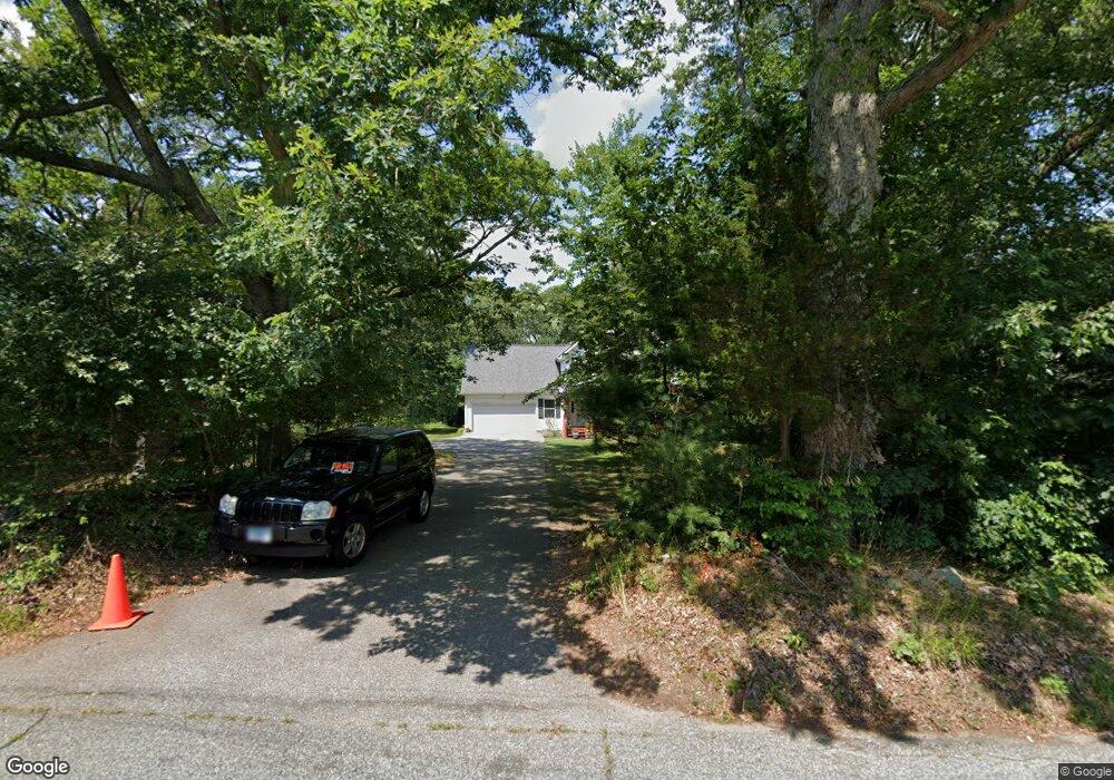
98 Niles Rd Amston, CT 06231
Estimated Value: $448,257 - $543,000
3
Beds
3
Baths
1,818
Sq Ft
$281/Sq Ft
Est. Value
About This Home
This home is located at 98 Niles Rd, Amston, CT 06231 and is currently estimated at $511,314, approximately $281 per square foot. 98 Niles Rd is a home located in Tolland County with nearby schools including Gilead Hill School, Hebron Elementary School, and RHAM Middle School.
Ownership History
Date
Name
Owned For
Owner Type
Purchase Details
Closed on
Mar 17, 2004
Sold by
Goudarzy Parvis
Bought by
Delrosso Stephen
Current Estimated Value
Home Financials for this Owner
Home Financials are based on the most recent Mortgage that was taken out on this home.
Original Mortgage
$242,400
Interest Rate
5.71%
Purchase Details
Closed on
Oct 7, 2002
Sold by
Donovan Paul and Donovan Aline
Bought by
Vatanbadi Shouleh and Goudarzy Parviz
Create a Home Valuation Report for This Property
The Home Valuation Report is an in-depth analysis detailing your home's value as well as a comparison with similar homes in the area
Home Values in the Area
Average Home Value in this Area
Purchase History
| Date | Buyer | Sale Price | Title Company |
|---|---|---|---|
| Delrosso Stephen | $303,000 | -- | |
| Vatanbadi Shouleh | $55,000 | -- |
Source: Public Records
Mortgage History
| Date | Status | Borrower | Loan Amount |
|---|---|---|---|
| Open | Vatanbadi Shouleh | $206,000 | |
| Closed | Vatanbadi Shouleh | $25,000 | |
| Closed | Vatanbadi Shouleh | $195,000 | |
| Closed | Vatanbadi Shouleh | $242,400 |
Source: Public Records
Tax History
| Year | Tax Paid | Tax Assessment Tax Assessment Total Assessment is a certain percentage of the fair market value that is determined by local assessors to be the total taxable value of land and additions on the property. | Land | Improvement |
|---|---|---|---|---|
| 2025 | $8,706 | $236,250 | $53,200 | $183,050 |
| 2024 | $8,151 | $236,250 | $53,200 | $183,050 |
| 2023 | $7,841 | $236,250 | $53,200 | $183,050 |
| 2022 | $7,489 | $236,250 | $53,200 | $183,050 |
| 2021 | $7,322 | $201,530 | $53,170 | $148,360 |
| 2020 | $7,322 | $201,530 | $53,170 | $148,360 |
| 2019 | $7,467 | $201,530 | $53,170 | $148,360 |
| 2018 | $7,545 | $201,530 | $53,170 | $148,360 |
| 2017 | $7,457 | $201,530 | $53,170 | $148,360 |
| 2016 | $8,283 | $232,400 | $91,350 | $141,050 |
| 2015 | $8,366 | $232,400 | $91,350 | $141,050 |
| 2014 | $8,308 | $232,400 | $91,350 | $141,050 |
Source: Public Records
Map
Nearby Homes
- 33 Northam Rd
- 40 Hillcrest Dr
- 12 Rondaly Rd
- 31 Uncas Dr
- 2 Lots on Deepwood Dr
- 0 Deepwood Dr
- 21 Bass Lake Rd
- 282 Deepwood Dr
- 485 Deepwood Dr
- 0 Ryan Terrace Unit 24144446
- 76 Park Rd
- 0 Wildwood Dr
- 47 Park Rd
- 26 Forest Dr
- 5 Vicki Ln Unit 5
- 231 Windham Ave
- 27 Greenwich Place
- 75 Brindlewood Path
- 45 Hoadly Rd
- 111 Old Hartford Rd
Your Personal Tour Guide
Ask me questions while you tour the home.