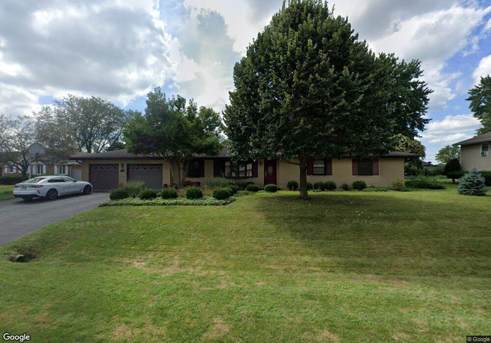
981 Maple St Wilmington, IL 60481
Estimated Value: $275,520 - $330,000
Studio
--
Bath
--
Sq Ft
14,810
Sq Ft Lot
About This Home
This home is located at 981 Maple St, Wilmington, IL 60481 and is currently estimated at $309,380. 981 Maple St is a home located in Will County with nearby schools including Bruning Elementary School, L.J. Stevens Intermediate School, and Wilmington Middle School.
Ownership History
Date
Name
Owned For
Owner Type
Purchase Details
Closed on
Mar 28, 2022
Sold by
John & Tamela K Mccormick Family Joint T
Bought by
Mccormick Morgan
Current Estimated Value
Home Financials for this Owner
Home Financials are based on the most recent Mortgage that was taken out on this home.
Original Mortgage
$188,000
Outstanding Balance
$176,101
Interest Rate
3.99%
Mortgage Type
New Conventional
Estimated Equity
$133,279
Purchase Details
Closed on
Sep 22, 2021
Sold by
Mccormick John W and Mccormick Tamela K
Bought by
Mccormick John W and Mccormick Tamela K
Purchase Details
Closed on
Jan 13, 1990
Bought by
Mccormick John
Create a Home Valuation Report for This Property
The Home Valuation Report is an in-depth analysis detailing your home's value as well as a comparison with similar homes in the area
Home Values in the Area
Average Home Value in this Area
Purchase History
| Date | Buyer | Sale Price | Title Company |
|---|---|---|---|
| Mccormick Morgan | $235,000 | New Title Company Name | |
| Mccormick John W | -- | None Available | |
| Mccormick John | $90,000 | -- |
Source: Public Records
Mortgage History
| Date | Status | Borrower | Loan Amount |
|---|---|---|---|
| Open | Mccormick Morgan | $188,000 |
Source: Public Records
Tax History
| Year | Tax Paid | Tax Assessment Tax Assessment Total Assessment is a certain percentage of the fair market value that is determined by local assessors to be the total taxable value of land and additions on the property. | Land | Improvement |
|---|---|---|---|---|
| 2024 | $5,323 | $87,860 | $13,207 | $74,653 |
| 2023 | $5,323 | $86,519 | $13,005 | $73,514 |
| 2022 | $4,992 | $79,302 | $11,920 | $67,382 |
| 2021 | $4,580 | $71,611 | $10,764 | $60,847 |
| 2020 | $4,385 | $67,718 | $10,179 | $57,539 |
| 2019 | $4,384 | $67,718 | $10,179 | $57,539 |
| 2018 | $4,410 | $67,718 | $10,179 | $57,539 |
| 2017 | $4,387 | $67,140 | $10,092 | $57,048 |
| 2016 | $4,147 | $64,298 | $9,665 | $54,633 |
| 2015 | $3,791 | $60,917 | $9,157 | $51,760 |
| 2014 | $3,791 | $59,722 | $8,977 | $50,745 |
| 2013 | $3,791 | $59,722 | $8,977 | $50,745 |
Source: Public Records
Map
Nearby Homes
- 829 Phyllis Dr
- 801 Phyllis Dr
- 1850 S Water St (Parcel 2)
- Parcel 1 S Water St
- 32410 S Butcher Ln
- 2005 Roberts St
- 324 Sumac St
- 1785 Vista Dr
- 1847 Lakewood Dr
- 1903 Lakewood Dr
- 0000 Ryan St
- 927 Wabash St
- 2111 Woodview Dr
- 415 Wabash St
- 608 E Baltimore St
- 000 Rt 53 Hwy
- 33709 S West River Rd
- Lot 2 Sarah St
- 0000 Buchanan St
- Lot 3 Sarah St
Your Personal Tour Guide
Ask me questions while you tour the home.