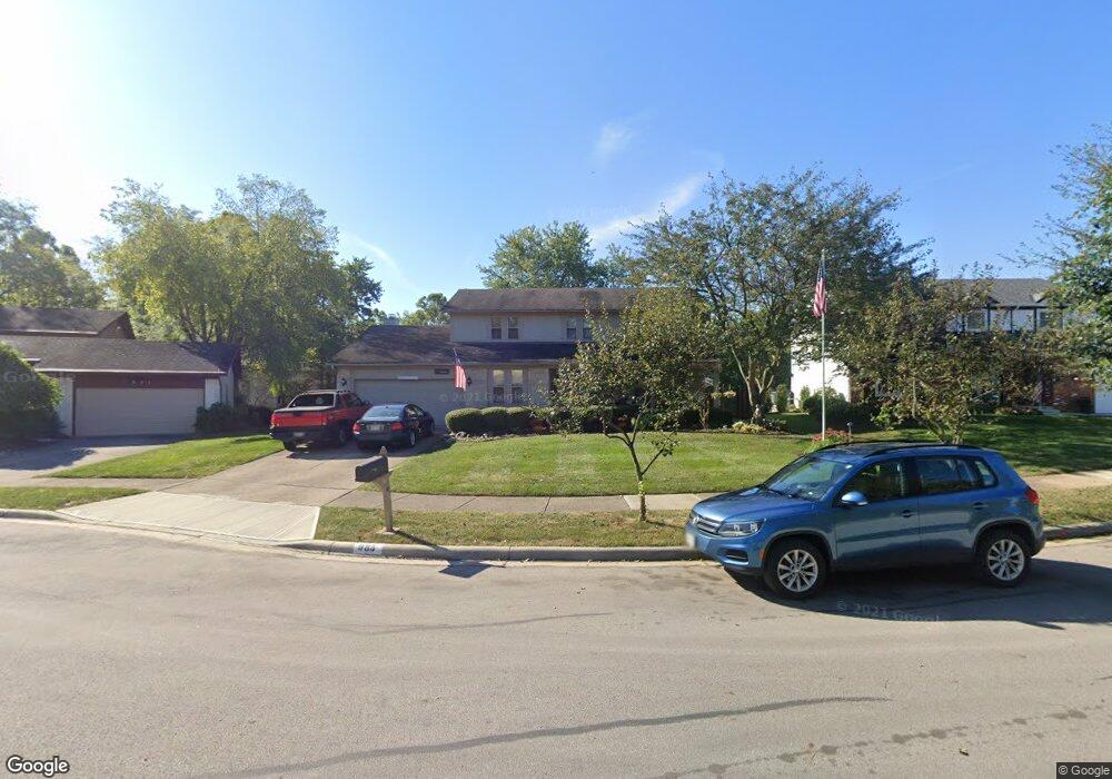
985 Brule Ct Westerville, OH 43081
Estimated Value: $438,157 - $496,000
3
Beds
3
Baths
2,267
Sq Ft
$208/Sq Ft
Est. Value
About This Home
This home is located at 985 Brule Ct, Westerville, OH 43081 and is currently estimated at $472,539, approximately $208 per square foot. 985 Brule Ct is a home located in Franklin County with nearby schools including Mark Twain Elementary School, Walnut Springs Middle School, and Westerville-North High School.
Ownership History
Date
Name
Owned For
Owner Type
Purchase Details
Closed on
Aug 14, 2007
Sold by
Buchanan Ann S
Bought by
Forrest Lynn S and Forrest Marissa P
Current Estimated Value
Home Financials for this Owner
Home Financials are based on the most recent Mortgage that was taken out on this home.
Original Mortgage
$207,900
Outstanding Balance
$130,066
Interest Rate
6.79%
Mortgage Type
Purchase Money Mortgage
Estimated Equity
$342,473
Purchase Details
Closed on
Jun 5, 1998
Sold by
Joseph William Jr Mcgonigal
Bought by
Buchanan Ann S
Purchase Details
Closed on
Jun 14, 1993
Purchase Details
Closed on
Apr 1, 1980
Create a Home Valuation Report for This Property
The Home Valuation Report is an in-depth analysis detailing your home's value as well as a comparison with similar homes in the area
Home Values in the Area
Average Home Value in this Area
Purchase History
| Date | Buyer | Sale Price | Title Company |
|---|---|---|---|
| Forrest Lynn S | $231,000 | Attorney | |
| Buchanan Ann S | $179,900 | Transohio Title | |
| -- | $152,000 | -- | |
| -- | $94,500 | -- |
Source: Public Records
Mortgage History
| Date | Status | Borrower | Loan Amount |
|---|---|---|---|
| Open | Forrest Lynn S | $207,900 |
Source: Public Records
Tax History
| Year | Tax Paid | Tax Assessment Tax Assessment Total Assessment is a certain percentage of the fair market value that is determined by local assessors to be the total taxable value of land and additions on the property. | Land | Improvement |
|---|---|---|---|---|
| 2025 | $7,358 | $129,470 | $31,500 | $97,970 |
| 2024 | $7,358 | $129,470 | $31,500 | $97,970 |
| 2023 | $7,202 | $129,470 | $31,500 | $97,970 |
| 2022 | $6,954 | $95,450 | $21,000 | $74,450 |
| 2021 | $7,012 | $95,450 | $21,000 | $74,450 |
| 2020 | $6,992 | $95,450 | $21,000 | $74,450 |
| 2019 | $6,187 | $79,730 | $17,500 | $62,230 |
| 2018 | $5,954 | $79,730 | $17,500 | $62,230 |
| 2017 | $6,059 | $79,730 | $17,500 | $62,230 |
| 2016 | $6,033 | $71,960 | $18,760 | $53,200 |
| 2015 | $5,843 | $71,960 | $18,760 | $53,200 |
| 2014 | $5,848 | $71,960 | $18,760 | $53,200 |
| 2013 | $2,781 | $68,530 | $17,850 | $50,680 |
Source: Public Records
Map
Nearby Homes
- 30 Kim Ct W
- 961 E College Ave
- 1075 Carousel Ct
- 124 Mainsail Dr
- 852 Karen Ct
- 868 Chelsea Ln
- 192 Buckeye Ct
- 667 E College Ave
- 262 Crawford Ct
- 62 College Place
- 570 Susan Ave
- 503 Liberty Ln
- 390 Ashford Dr
- 479 Deer Run Ct
- 1103 Blue Heron Dr
- 964 Woodsedge Ln
- 222 Juniper Ave
- 647 Mohican Way
- 613 Deer Run Rd
- 192 Sassafras Way
Your Personal Tour Guide
Ask me questions while you tour the home.