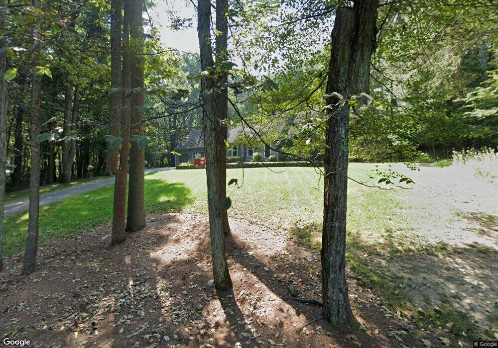
985 Flat Hill Rd Lunenburg, MA 01462
Estimated Value: $641,798 - $843,000
4
Beds
2
Baths
2,742
Sq Ft
$280/Sq Ft
Est. Value
About This Home
This home is located at 985 Flat Hill Rd, Lunenburg, MA 01462 and is currently estimated at $767,950, approximately $280 per square foot. 985 Flat Hill Rd is a home located in Worcester County with nearby schools including Lunenburg Primary School and Lunenburg High School.
Ownership History
Date
Name
Owned For
Owner Type
Purchase Details
Closed on
May 17, 2010
Sold by
Lemoine Norman P and Lemoine Kathleen P
Bought by
Snyder Matthew and Foyle Mary
Current Estimated Value
Home Financials for this Owner
Home Financials are based on the most recent Mortgage that was taken out on this home.
Original Mortgage
$341,905
Outstanding Balance
$229,838
Interest Rate
5.11%
Mortgage Type
Purchase Money Mortgage
Estimated Equity
$538,112
Create a Home Valuation Report for This Property
The Home Valuation Report is an in-depth analysis detailing your home's value as well as a comparison with similar homes in the area
Home Values in the Area
Average Home Value in this Area
Purchase History
| Date | Buyer | Sale Price | Title Company |
|---|---|---|---|
| Snyder Matthew | $359,900 | -- |
Source: Public Records
Mortgage History
| Date | Status | Borrower | Loan Amount |
|---|---|---|---|
| Open | Snyder Matthew | $341,905 |
Source: Public Records
Tax History
| Year | Tax Paid | Tax Assessment Tax Assessment Total Assessment is a certain percentage of the fair market value that is determined by local assessors to be the total taxable value of land and additions on the property. | Land | Improvement |
|---|---|---|---|---|
| 2025 | $8,042 | $560,000 | $155,300 | $404,700 |
| 2024 | $7,910 | $561,000 | $146,500 | $414,500 |
| 2023 | $7,930 | $542,400 | $132,900 | $409,500 |
| 2022 | $6,981 | $406,100 | $110,500 | $295,600 |
| 2020 | $7,527 | $415,400 | $110,500 | $304,900 |
| 2019 | $7,287 | $390,100 | $104,100 | $286,000 |
| 2018 | $7,108 | $360,800 | $104,100 | $256,700 |
| 2017 | $6,767 | $338,700 | $98,500 | $240,200 |
| 2016 | $6,448 | $328,800 | $93,700 | $235,100 |
| 2015 | $5,791 | $316,100 | $88,900 | $227,200 |
Source: Public Records
Map
Nearby Homes
- 45 Spring St
- 309 Reservoir Rd
- 110 Burrage St
- 2 Gabes Place
- 11 Longwood Dr
- 44 Fire Road 12
- 146-148 Kilburn St
- 12 Cortland Cir Unit 12
- 795 Leominster Rd
- 146 Elmwood Rd
- Lot 3 Leominster Rd
- 75 Dale Ave
- 6 Wheeler Rd
- 348 Leominster Rd
- 1790 Massachusetts Ave Unit U
- 1790 Massachusetts Ave Unit 32
- 1790 Massachusetts Ave Unit 25
- 24 North St
- 92 Prospect St
- 225 Leominster Rd
- 1009 Flat Hill Rd
- 1000 Flat Hill Rd
- 1010 Flat Hill Rd
- 967 Flat Hill Rd
- 947 Flat Hill Rd
- 943 Flat Hill Rd
- 964 Flat Hill Rd
- 964 Flat Hill Rd
- 1031 Flat Hill Rd
- 956 Flat Hill Rd
- 952 Flat Hill Rd
- 962 Flat Hill Rd
- 933 Flat Hill Rd
- 917 Flat Hill Rd
- 54 Houghtons Mill Rd
- 1041 Flat Hill Rd
- 479 Reservoir Rd
- 481 Reservoir Rd
- 42 Houghtons Mill Rd
- 960 Flat Hill Rd
Your Personal Tour Guide
Ask me questions while you tour the home.