9871 Fair Ln Springdale, AR 72762
Estimated Value: $514,000 - $822,000
About This Home
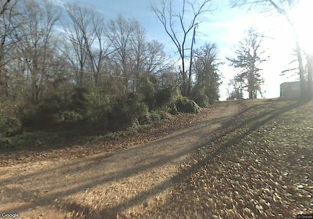
This home is located at 9871 Fair Ln, Springdale, AR 72762 and is currently estimated at $613,535, approximately $289 per square foot. 9871 Fair Ln is a home located in Benton County with nearby schools including Willis Shaw Elementary School, Hellstern Middle School, and Central Junior High School.
Ownership History
We collect this data history from publicly available records. To have your information removed, we recommend requesting removal directly through your county’s website.
Purchase Details
Purchase Details
Purchase Details
Purchase Details
Purchase Details
Purchase Details
Purchase Details
Purchase History
We collect this data history from publicly available records. To have your information removed, we recommend requesting removal directly through your county’s website.
| Date | Buyer | Sale Price | Title Company |
|---|---|---|---|
| $10,000 | Waco Title Company | ||
| $491 | None Available | ||
| $20,000 | None Available | ||
| -- | None Available | ||
| -- | -- | ||
| -- | -- | ||
| -- | -- |
Tax History
We collect this data history from publicly available records. To have your information removed, we recommend requesting removal directly through your county’s website.
| Year | Tax Paid | Tax Assessment Tax Assessment Total Assessment is a certain percentage of the fair market value that is determined by local assessors to be the total taxable value of land and additions on the property. | Land | Improvement |
|---|---|---|---|---|
| 2025 | $3,579 | $102,425 | $22,770 | $79,655 |
| 2024 | $2,775 | $102,425 | $22,770 | $79,655 |
| 2023 | $2,642 | $66,450 | $12,210 | $54,240 |
| 2022 | $2,158 | $66,450 | $12,210 | $54,240 |
| 2021 | $2,036 | $66,450 | $12,210 | $54,240 |
| 2020 | $1,923 | $48,280 | $8,250 | $40,030 |
| 2019 | $1,923 | $48,280 | $8,250 | $40,030 |
| 2018 | $1,948 | $48,280 | $8,250 | $40,030 |
| 2017 | $1,915 | $48,280 | $8,250 | $40,030 |
| 2016 | $1,812 | $48,280 | $8,250 | $40,030 |
| 2015 | $2,059 | $43,260 | $4,950 | $38,310 |
| 2014 | $1,709 | $4,950 | $4,950 | $0 |
Map
- TBD Fair Ln
- 10078 Fair Ln
- 4.18 Acres Kelly Rd
- 11039 Marchant Rd
- 0 Kelley Rd
- 702 Valley Ln
- 4022 Als Dr
- 907 Red Oak Loop
- 614 Oriole Dr
- 0 Pintail Ln Unit 1335973
- 9149 Marchant Rd
- 22401 Downum Rd
- 9268 Amy Dr
- 1829 Brush Creek Rd
- 000 Water Ave
- 369 Waterfall Ln
- 12214 Kenneth Price Rd
- 485 N Elm St
- 277 Mill Park Ln
- 1362 Duffers Ct
- 9871 Fair Ln
- 9898 Fair Ln
- 9773 Fair Ln
- 9902 Fair Ln
- 10048 Fair Ln
- 9770 Fair Ln
- 13545 Robbins Rd
- 13523 Robbins Rd
- 13511 Robbins Rd
- 9842 Fair Ln
- 9706 Fair Ln
- 9660 Fair Ln
- Lot 109 Fairfield
- Lot 77 Fairfield
- Lot 57 Fairfield
- Lot 53 Fairfield
- Lot 69 Fairfield
- Lot 81 Fairfield
- Lot 49 Fairfield
- Lot 65 Fairfield
Ask me questions while you tour the home.