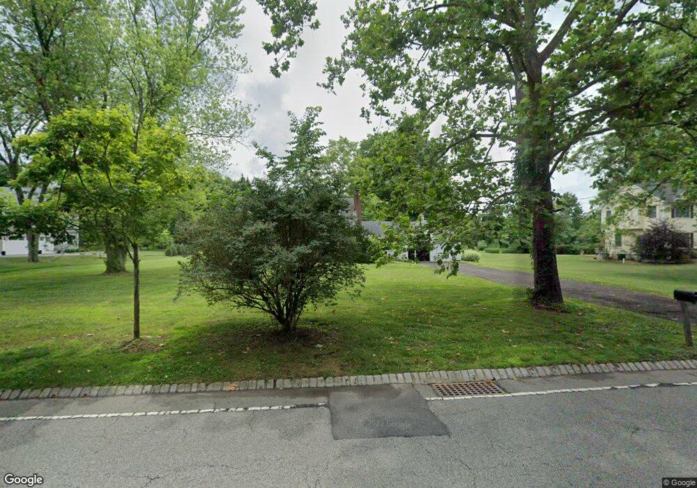
99 Cross Rd Basking Ridge, NJ 07920
Estimated Value: $742,414 - $928,000
Studio
--
Bath
1,560
Sq Ft
$531/Sq Ft
Est. Value
About This Home
This home is located at 99 Cross Rd, Basking Ridge, NJ 07920 and is currently estimated at $829,104, approximately $531 per square foot. 99 Cross Rd is a home located in Somerset County with nearby schools including Cedar Hill Elementary School, William Annin Middle School, and Ridge High School.
Ownership History
Date
Name
Owned For
Owner Type
Purchase Details
Closed on
May 1, 2014
Sold by
Rostami Mehrangiz
Bought by
Mosaddeghi Mahmood
Current Estimated Value
Purchase Details
Closed on
Aug 25, 2000
Sold by
Cookson John
Bought by
Mosaddeghi Mahmood and Rostami Mehrangiz
Purchase Details
Closed on
Jan 27, 1994
Sold by
Ware Gary
Bought by
Cookson John and Cookson Patricia
Home Financials for this Owner
Home Financials are based on the most recent Mortgage that was taken out on this home.
Original Mortgage
$259,000
Interest Rate
7.11%
Create a Home Valuation Report for This Property
The Home Valuation Report is an in-depth analysis detailing your home's value as well as a comparison with similar homes in the area
Home Values in the Area
Average Home Value in this Area
Purchase History
| Date | Buyer | Sale Price | Title Company |
|---|---|---|---|
| Mosaddeghi Mahmood | $5,500 | None Available | |
| Mosaddeghi Mahmood | $391,000 | -- | |
| Cookson John | $290,000 | -- |
Source: Public Records
Mortgage History
| Date | Status | Borrower | Loan Amount |
|---|---|---|---|
| Previous Owner | Cookson John | $259,000 |
Source: Public Records
Tax History
| Year | Tax Paid | Tax Assessment Tax Assessment Total Assessment is a certain percentage of the fair market value that is determined by local assessors to be the total taxable value of land and additions on the property. | Land | Improvement |
|---|---|---|---|---|
| 2025 | $10,813 | $672,200 | $353,000 | $319,200 |
| 2024 | $10,813 | $607,800 | $330,500 | $277,300 |
| 2023 | $11,010 | $583,800 | $330,500 | $253,300 |
| 2022 | $11,048 | $549,400 | $330,500 | $218,900 |
| 2021 | $10,561 | $500,500 | $330,500 | $170,000 |
| 2020 | $10,434 | $498,300 | $337,700 | $160,600 |
| 2019 | $10,394 | $511,000 | $350,400 | $160,600 |
| 2018 | $10,065 | $502,000 | $341,400 | $160,600 |
| 2017 | $10,027 | $504,100 | $341,400 | $162,700 |
| 2016 | $9,497 | $486,800 | $341,400 | $145,400 |
| 2015 | $9,283 | $484,500 | $336,900 | $147,600 |
| 2014 | $9,111 | $471,100 | $336,900 | $134,200 |
Source: Public Records
Map
Nearby Homes
- 47 Dexter Dr N
- 12 Rocky Ln
- 110 Village Dr
- 16 Lenape Ct
- 64 W Rayburn Rd
- 317 S Finley Ave
- 89 Lyons Place
- 56 E Rayburn Rd
- 80 Shawnee Path
- 36 Debra Ln
- 256 Old Forge Rd
- 128 Old Forge Rd
- 168 Bungalow Terrace
- 134 Spencer Rd
- 79 Highland Ave
- 18 Juniper Way
- 98 Bernard Dr
- 262 Skyline Dr
- 34 Knollcroft Rd
- 24 Wharton Way
Your Personal Tour Guide
Ask me questions while you tour the home.