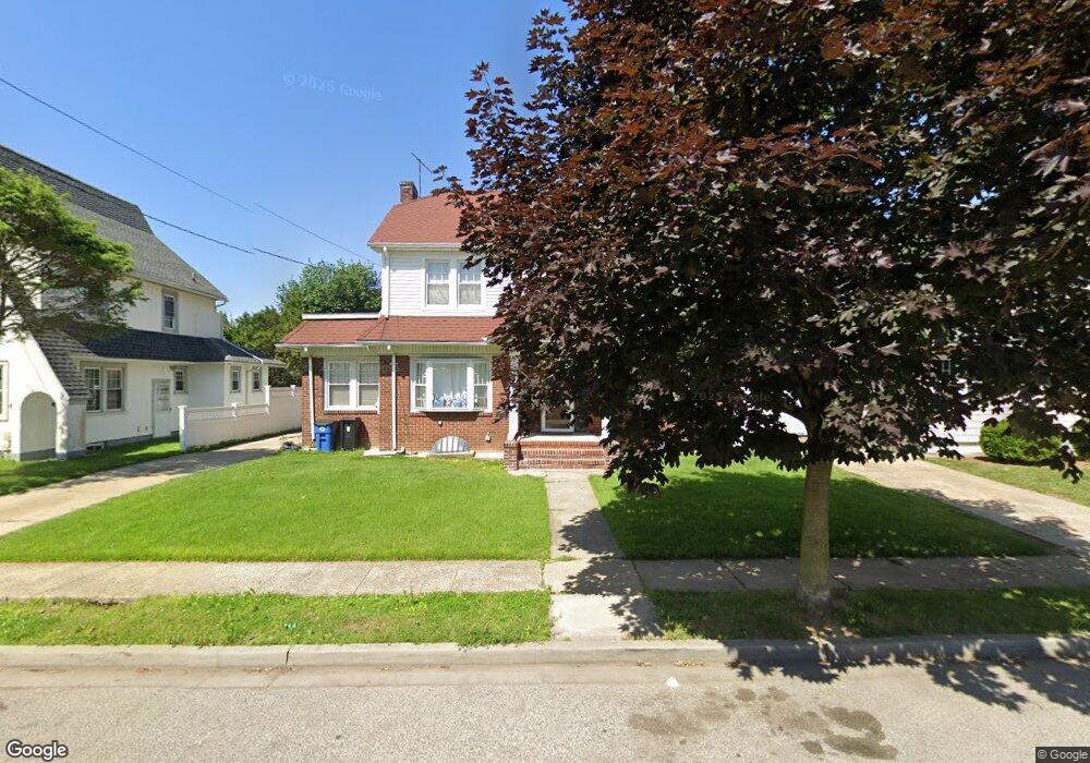
99 Meadowbrook Rd Hempstead, NY 11550
Estimated Value: $632,489 - $634,000
Studio
2
Baths
2,581
Sq Ft
$245/Sq Ft
Est. Value
About This Home
This home is located at 99 Meadowbrook Rd, Hempstead, NY 11550 and is currently estimated at $633,245, approximately $245 per square foot. 99 Meadowbrook Rd is a home located in Nassau County with nearby schools including California Avenue Elementary School, Turtle Hook Middle School, and Uniondale High School.
Ownership History
Date
Name
Owned For
Owner Type
Purchase Details
Closed on
Mar 30, 1995
Sold by
Murfitt John and Murfitt Antonia
Bought by
Burton Norbert and Burton Anne
Current Estimated Value
Home Financials for this Owner
Home Financials are based on the most recent Mortgage that was taken out on this home.
Original Mortgage
$155,700
Interest Rate
8.66%
Create a Home Valuation Report for This Property
The Home Valuation Report is an in-depth analysis detailing your home's value as well as a comparison with similar homes in the area
Home Values in the Area
Average Home Value in this Area
Purchase History
| Date | Buyer | Sale Price | Title Company |
|---|---|---|---|
| Burton Norbert | $163,000 | -- |
Source: Public Records
Mortgage History
| Date | Status | Borrower | Loan Amount |
|---|---|---|---|
| Closed | Burton Norbert | $155,700 |
Source: Public Records
Tax History
| Year | Tax Paid | Tax Assessment Tax Assessment Total Assessment is a certain percentage of the fair market value that is determined by local assessors to be the total taxable value of land and additions on the property. | Land | Improvement |
|---|---|---|---|---|
| 2025 | $8,180 | $470 | $147 | $323 |
| 2024 | $1,278 | $470 | $147 | $323 |
Source: Public Records
Map
Nearby Homes
- 59 Kernochan Ave
- 63 Devon Rd
- 119 Broadfield Rd
- 27 Elizabeth Ct
- 676 Front St Unit F
- 678 Front St Unit E
- 41 Perry St
- 17 Hope St
- 22 Fairview Blvd
- 16 Hendrickson Ave
- 811 Front St
- 122 Hamilton Rd
- 49 Fairview Blvd
- 64 Fairview Blvd
- 104 Phoenix St
- 95 Rhodes Ave
- 51 Phoenix St
- 126 Fairview Blvd
- 43 Macdonald St
- 136 Fairview Blvd
- 105 Meadowbrook Rd
- 93 Meadowbrook Rd
- 90 Kernochan Ave
- 87 Meadowbrook Rd
- 111 Meadowbrook Rd
- 86 Kernochan Ave
- 96 Kernochan Ave
- 100 Meadowbrook Rd
- 400 Meadowbrook Rd
- 82 Kernochan Ave
- 96 Meadowbrook Rd
- 100 Kernochan Ave
- 108 Meadowbrook Rd
- 6 Butler Place
- 81 Meadowbrook Rd
- 104 Kernochan Ave
- 117 Meadowbrook Rd
- 112 Meadowbrook Rd
- 78 Kernochan Ave
- 108 Kernochan Ave
Your Personal Tour Guide
Ask me questions while you tour the home.