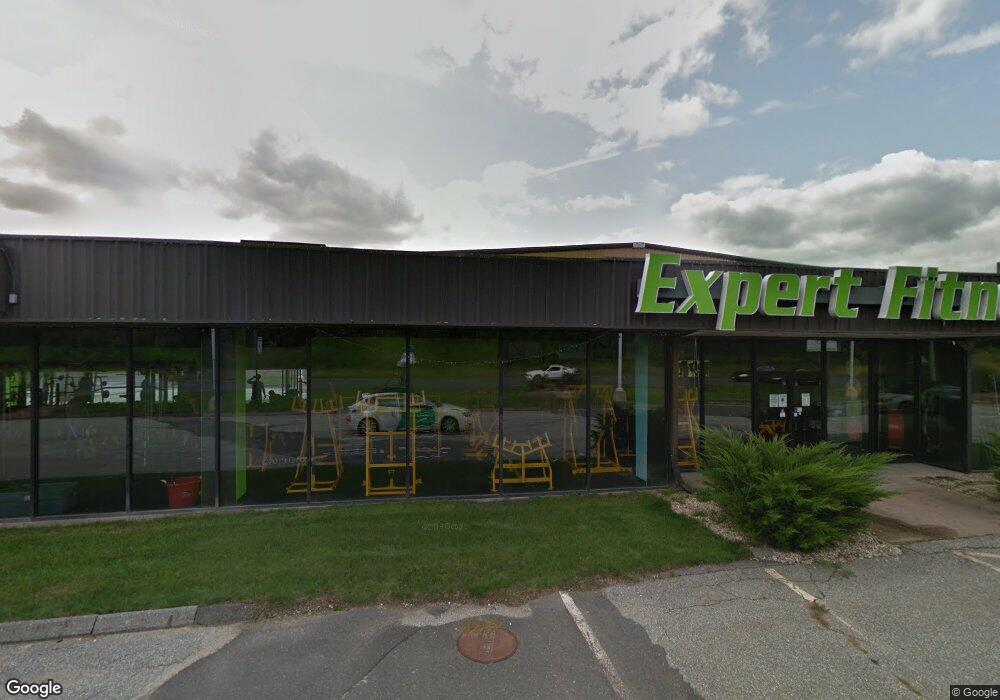
99 Springfield Rd Westfield, MA 01085
Estimated Value: $4,158,624
Studio
--
Bath
27,165
Sq Ft
$153/Sq Ft
Est. Value
About This Home
This home is located at 99 Springfield Rd, Westfield, MA 01085 and is currently estimated at $4,158,624, approximately $153 per square foot. 99 Springfield Rd is a home located in Hampden County with nearby schools including Westfield High School and Saint Mary High School.
Ownership History
Date
Name
Owned For
Owner Type
Purchase Details
Closed on
Nov 8, 2013
Sold by
Balise Automotive Rlty
Bought by
N & J Llc
Current Estimated Value
Home Financials for this Owner
Home Financials are based on the most recent Mortgage that was taken out on this home.
Original Mortgage
$2,000,000
Outstanding Balance
$1,471,784
Interest Rate
4.36%
Mortgage Type
Commercial
Estimated Equity
$2,686,840
Purchase Details
Closed on
Mar 10, 2000
Sold by
Houser 3 Lp and Houser
Bought by
Balise Automotive Rlty
Create a Home Valuation Report for This Property
The Home Valuation Report is an in-depth analysis detailing your home's value as well as a comparison with similar homes in the area
Home Values in the Area
Average Home Value in this Area
Purchase History
| Date | Buyer | Sale Price | Title Company |
|---|---|---|---|
| N & J Llc | $2,100,000 | -- | |
| Balise Automotive Rlty | $2,000,000 | -- |
Source: Public Records
Mortgage History
| Date | Status | Borrower | Loan Amount |
|---|---|---|---|
| Open | N & J Llc | $2,000,000 | |
| Previous Owner | Balise Automotive Rlty | $1,591,300 | |
| Previous Owner | Balise Automotive Rlty | $2,100,000 |
Source: Public Records
Tax History
| Year | Tax Paid | Tax Assessment Tax Assessment Total Assessment is a certain percentage of the fair market value that is determined by local assessors to be the total taxable value of land and additions on the property. | Land | Improvement |
|---|---|---|---|---|
| 2025 | $70,154 | $2,405,000 | $585,700 | $1,819,300 |
| 2024 | $71,500 | $2,277,800 | $538,600 | $1,739,200 |
| 2023 | $68,347 | $2,039,000 | $513,000 | $1,526,000 |
| 2022 | $69,363 | $1,910,300 | $466,000 | $1,444,300 |
| 2021 | $112,710 | $2,860,800 | $519,200 | $2,341,600 |
| 2020 | $108,473 | $2,923,000 | $519,200 | $2,403,800 |
| 2019 | $67,484 | $1,778,700 | $477,500 | $1,301,200 |
| 2018 | $65,643 | $1,782,800 | $477,500 | $1,305,300 |
| 2017 | $64,219 | $1,731,900 | $477,500 | $1,254,400 |
| 2016 | $62,752 | $1,710,800 | $477,500 | $1,233,300 |
Source: Public Records
Map
Nearby Homes
- 0 E Mountain Rd
- 0 Feeding Hills Rd
- 181 Eastwood Dr
- 242 Eastwood Dr
- 11 Laurel Terrace
- 14 Sylvan Dr
- 149 Shaker Rd
- 120 Woodcliff Dr
- 10 Marla Cir
- 57 Falley Dr
- 76 Cardinal Ln
- 117 Sibley Ave
- 12 Laro Rd
- 24 Francis St
- 100 Meadow St
- 713 Holyoke Rd
- 259 Ohio Ave
- 30 Deepwoods Dr
- 34 Pebble Path Ln
- 97 Mechanic St
- 82 Springfield St
- 75 Springfield Rd
- 66 Devon Terrace
- 72 Devon Terrace
- 78 Devon Terrace
- 82 Devon Terrace
- 86 Devon Terrace
- 65 Springfield Rd
- 90 Devon Terrace
- 65 Devon Terrace
- 69 Devon Terrace
- 96 Devon Terrace
- 73 Devon Terrace
- 79 Devon Terrace
- 83 Devon Terrace
- 100 Devon Terrace
- 87 Devon Terrace
- Lot 116W Rachael Terrace
- 106 Devon Terrace
- 7 Gloria Dr
Your Personal Tour Guide
Ask me questions while you tour the home.