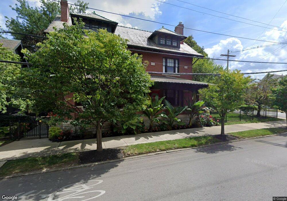
994 Dennison Ave Columbus, OH 43201
Short North NeighborhoodEstimated Value: $521,000 - $745,000
4
Beds
1
Bath
2,424
Sq Ft
$260/Sq Ft
Est. Value
About This Home
This home is located at 994 Dennison Ave, Columbus, OH 43201 and is currently estimated at $629,083, approximately $259 per square foot. 994 Dennison Ave is a home located in Franklin County with nearby schools including Hubbard Elementary School, Dominion Middle School, and Whetstone High School.
Ownership History
Date
Name
Owned For
Owner Type
Purchase Details
Closed on
Oct 6, 2025
Sold by
Lykens Kevin L and Lykens Nicole K
Bought by
986 994 Dennison Llc
Current Estimated Value
Purchase Details
Closed on
Jan 11, 1985
Bought by
Dr A O Allenius
Purchase Details
Closed on
Oct 1, 1984
Create a Home Valuation Report for This Property
The Home Valuation Report is an in-depth analysis detailing your home's value as well as a comparison with similar homes in the area
Home Values in the Area
Average Home Value in this Area
Purchase History
| Date | Buyer | Sale Price | Title Company |
|---|---|---|---|
| 986 994 Dennison Llc | -- | Search2close | |
| Dr A O Allenius | $195,000 | -- | |
| -- | -- | -- |
Source: Public Records
Tax History
| Year | Tax Paid | Tax Assessment Tax Assessment Total Assessment is a certain percentage of the fair market value that is determined by local assessors to be the total taxable value of land and additions on the property. | Land | Improvement |
|---|---|---|---|---|
| 2025 | $9,111 | $203,020 | $77,010 | $126,010 |
| 2024 | $9,111 | $203,020 | $77,010 | $126,010 |
| 2023 | $8,995 | $203,000 | $77,000 | $126,000 |
| 2022 | $10,673 | $205,780 | $39,910 | $165,870 |
| 2021 | $10,692 | $205,780 | $39,910 | $165,870 |
| 2020 | $10,705 | $205,780 | $39,910 | $165,870 |
| 2019 | $10,403 | $171,480 | $33,260 | $138,220 |
| 2018 | $8,572 | $171,480 | $33,260 | $138,220 |
| 2017 | $8,923 | $171,480 | $33,260 | $138,220 |
| 2016 | $7,450 | $112,470 | $16,560 | $95,910 |
| 2015 | $6,763 | $112,470 | $16,560 | $95,910 |
| 2014 | $6,780 | $112,470 | $16,560 | $95,910 |
| 2013 | $2,602 | $87,500 | $10,045 | $77,455 |
Source: Public Records
Map
Nearby Homes
- 1001 Dennison Ave
- 140 Price Ave
- 1012 Hunter Ave
- 107 Aston Row Ln
- 80 W Starr Ave
- 1025 Hunter Ave
- 1029 Hunter Ave
- 915 Dennison Ave Unit 915
- 981 Highland St
- 17 W 3rd Ave Unit 212
- 17 W 3rd Ave Unit 213
- 21 W 3rd Ave Unit 100C
- 1098 Highland St
- 1042 Neil Ave
- 213 Wilber Ave
- 951 Mount Pleasant Ave
- 30 W 4th Ave
- 845 N High St Unit 407
- 845 N High St Unit 404
- 845 N High St Unit 501 & 502
- 138 W 2nd Ave Unit 138
- 986 Dennison Ave
- 134 W 2nd Ave Unit 134
- 1002 Dennison Ave
- 749 Dennison Ave
- 132 W 2nd Ave
- 130 W 2nd Ave
- 995 Dennison Ave
- 993 Dennison Ave
- 993 Dennison Ave Unit 6
- 1005 Dennison Ave
- 158 W 2nd Ave
- 128 W 2nd Ave
- 1007 Dennison Ave
- 158 E 2nd Ave
- 139 W 2nd Ave Unit 1137
- 122 W 2nd Ave
- 1004 Ewing Aly
- 141 W 2nd Ave
- 145 W 2nd Ave
Your Personal Tour Guide
Ask me questions while you tour the home.