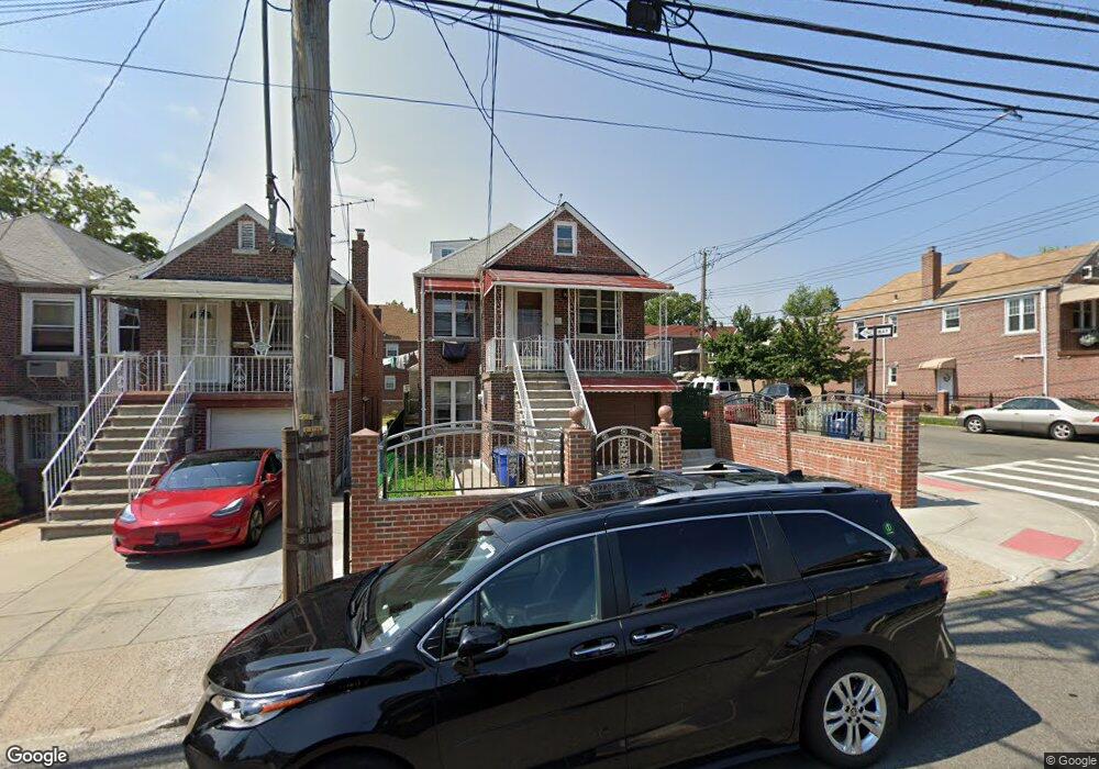
997 Neill Ave Bronx, NY 10462
Morris Park NeighborhoodEstimated Value: $695,868 - $991,000
Studio
--
Bath
1,415
Sq Ft
$610/Sq Ft
Est. Value
About This Home
This home is located at 997 Neill Ave, Bronx, NY 10462 and is currently estimated at $863,467, approximately $610 per square foot. 997 Neill Ave is a home located in Bronx County with nearby schools including P.S. 083 The Donald Hertz School and St. Clare of Assisi School.
Ownership History
Date
Name
Owned For
Owner Type
Purchase Details
Closed on
Mar 23, 2022
Sold by
Iacietta Aniello and Iacietta Rosanna
Bought by
Chowdhury Mohammed J and Chowdhury Musammod S
Current Estimated Value
Home Financials for this Owner
Home Financials are based on the most recent Mortgage that was taken out on this home.
Original Mortgage
$671,250
Outstanding Balance
$621,148
Interest Rate
4.16%
Mortgage Type
Purchase Money Mortgage
Estimated Equity
$242,319
Create a Home Valuation Report for This Property
The Home Valuation Report is an in-depth analysis detailing your home's value as well as a comparison with similar homes in the area
Home Values in the Area
Average Home Value in this Area
Purchase History
We collect this data history from publicly available records. To have your information removed, we recommend requesting removal directly through your county’s website.
| Date | Buyer | Sale Price | Title Company |
|---|---|---|---|
| Chowdhury Mohammed J | $895,000 | -- |
Source: Public Records
Mortgage History
We collect this data history from publicly available records. To have your information removed, we recommend requesting removal directly through your county’s website.
| Date | Status | Borrower | Loan Amount |
|---|---|---|---|
| Open | Chowdhury Mohammed J | $671,250 |
Source: Public Records
Tax History
| Year | Tax Paid | Tax Assessment Tax Assessment Total Assessment is a certain percentage of the fair market value that is determined by local assessors to be the total taxable value of land and additions on the property. | Land | Improvement |
|---|---|---|---|---|
| 2026 | $6,108 | $31,709 | $6,847 | $24,862 |
| 2025 | $6,108 | $30,413 | $6,034 | $24,379 |
| 2024 | $6,108 | $30,413 | $6,428 | $23,985 |
| 2023 | $6,030 | $29,689 | $6,477 | $23,212 |
| 2022 | $5,191 | $39,660 | $8,940 | $30,720 |
| 2021 | $2,477 | $32,640 | $8,940 | $23,700 |
| 2020 | $5,069 | $36,060 | $8,940 | $27,120 |
| 2019 | $5,009 | $37,200 | $8,940 | $28,260 |
| 2018 | $4,746 | $24,741 | $8,340 | $16,401 |
| 2017 | $4,458 | $23,341 | $8,482 | $14,859 |
| 2016 | $4,092 | $22,020 | $8,940 | $13,080 |
| 2015 | $2,607 | $21,120 | $9,960 | $11,160 |
| 2014 | $2,607 | $21,120 | $9,960 | $11,160 |
Source: Public Records
Map
Nearby Homes
- 986 Neill Ave
- 2037 Radcliff Ave
- 2004 Bogart Ave
- 2042 Bogart Ave
- 1945 Paulding Ave
- 1957 Bogart Ave
- 1925 Radcliff Ave
- 1954 Hone Ave
- 2080 Matthews Ave
- 2021 Haight Ave
- 2090 Barnes Ave Unit 3G
- 2090 Barnes Ave Unit 4D
- 2090 Barnes Ave Unit 2H
- 2080 Barnes Ave Unit 5B
- 2080 Barnes Ave Unit 4A
- 2080 Barnes Ave Unit 4C
- 2080 Barnes Ave Unit 4-E
- 2080 Barnes Ave Unit 3B
- 928 Rhinelander Ave
- 1100 Neill Ave
Your Personal Tour Guide
Ask me questions while you tour the home.