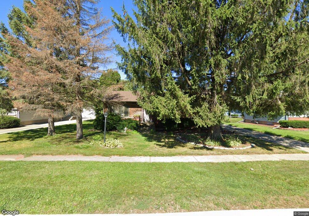
9N550 Flora Dr Elgin, IL 60123
College Green NeighborhoodEstimated Value: $307,000 - $341,000
3
Beds
2
Baths
1,040
Sq Ft
$307/Sq Ft
Est. Value
About This Home
This home is located at 9N550 Flora Dr, Elgin, IL 60123 and is currently estimated at $319,438, approximately $307 per square foot. 9N550 Flora Dr is a home located in Kane County with nearby schools including Otter Creek Elementary School, Abbott Middle School, and South Elgin High School.
Ownership History
Date
Name
Owned For
Owner Type
Purchase Details
Closed on
Nov 21, 2003
Sold by
Lullie David A and Lullie Michelle A
Bought by
Williams Pamela J
Current Estimated Value
Home Financials for this Owner
Home Financials are based on the most recent Mortgage that was taken out on this home.
Original Mortgage
$89,900
Outstanding Balance
$41,707
Interest Rate
6.01%
Mortgage Type
Purchase Money Mortgage
Estimated Equity
$277,731
Purchase Details
Closed on
Jun 4, 2003
Sold by
Lullie David A
Bought by
Lullie David A and Lullie Michelle A
Home Financials for this Owner
Home Financials are based on the most recent Mortgage that was taken out on this home.
Original Mortgage
$81,707
Interest Rate
5.36%
Mortgage Type
FHA
Create a Home Valuation Report for This Property
The Home Valuation Report is an in-depth analysis detailing your home's value as well as a comparison with similar homes in the area
Home Values in the Area
Average Home Value in this Area
Purchase History
We collect this data history from publicly available records. To have your information removed, we recommend requesting removal directly through your county’s website.
| Date | Buyer | Sale Price | Title Company |
|---|---|---|---|
| Williams Pamela J | $189,500 | First American Title Ins Co | |
| Lullie David A | -- | Law Title |
Source: Public Records
Mortgage History
We collect this data history from publicly available records. To have your information removed, we recommend requesting removal directly through your county’s website.
| Date | Status | Borrower | Loan Amount |
|---|---|---|---|
| Open | Williams Pamela J | $89,900 | |
| Previous Owner | Lullie David A | $81,707 |
Source: Public Records
Tax History
| Year | Tax Paid | Tax Assessment Tax Assessment Total Assessment is a certain percentage of the fair market value that is determined by local assessors to be the total taxable value of land and additions on the property. | Land | Improvement |
|---|---|---|---|---|
| 2024 | $5,050 | $85,012 | $20,740 | $64,272 |
| 2023 | $4,729 | $76,802 | $18,737 | $58,065 |
| 2022 | $4,710 | $70,030 | $17,085 | $52,945 |
| 2021 | $4,400 | $65,473 | $15,973 | $49,500 |
| 2020 | $4,240 | $62,504 | $15,249 | $47,255 |
| 2019 | $4,056 | $59,539 | $14,526 | $45,013 |
| 2018 | $3,751 | $53,805 | $13,684 | $40,121 |
| 2017 | $3,531 | $50,865 | $12,936 | $37,929 |
| 2016 | $3,315 | $47,189 | $12,001 | $35,188 |
| 2015 | -- | $43,253 | $11,000 | $32,253 |
| 2014 | -- | $38,687 | $10,864 | $27,823 |
| 2013 | -- | $39,708 | $11,151 | $28,557 |
Source: Public Records
Map
Nearby Homes
- 769 Hobart Dr Unit C
- 729 Fieldcrest Dr Unit C
- 746 Fieldcrest Dr Unit B
- 1502 Sawgrass Ct
- 1863 Castle Pines Cir
- 874 Cascade Ct
- 863 Cascade Ct
- 873 Cascade Ct
- 864 Cascade Ct
- 698 Fenwick Ln
- 7 Gladys Ct
- 625 Fairview Ln
- 698 Juli Dr
- 2054 Mission Hills Dr
- 2212 Baxter Ct
- 425 Hobart Dr
- 949 Manchester Ct
- 832 Coronado Ct
- 1115 Kane St
- 1032 Blazing Star St
- 9N539 Flora Dr
- 9N509 Hobart Dr
- 9N551 Flora Dr
- 9N522 Irwin Dr Unit 1
- 9N548 Flora Dr
- 9N529 Flora Dr Unit 1
- 9N491 Hobart Dr
- 9N552 Flora Dr
- 9N508 Hobart Dr
- 35W884 Bowes Rd
- 9N546 Flora Dr Unit 1
- 9N510 Irwin Dr
- 9N556 Flora Dr
- 9N492 Hobart Dr
- 35W942 Bowes Rd
- 9N570 Flora Dr
- 9N504 Irwin Dr
- 35W925 David Dr
- 9N547 Irwin Dr Unit 1
- 35W935 David Dr
Your Personal Tour Guide
Ask me questions while you tour the home.