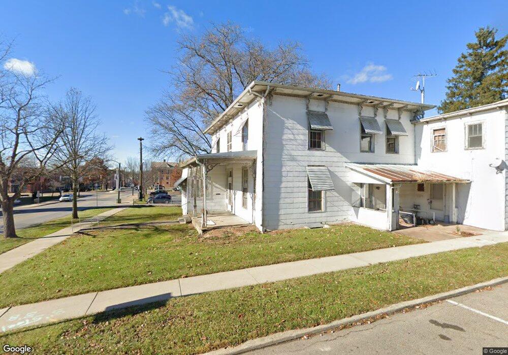
CO22 Rd Mount Gilead, OH 43338
Estimated Value: $303,000 - $373,000
Studio
--
Bath
--
Sq Ft
237,663
Sq Ft Lot
About This Home
This home is located at CO22 Rd, Mount Gilead, OH 43338 and is currently estimated at $338,000. CO22 Rd is a home with nearby schools including Northmor Elementary School and Northmor High School.
Ownership History
Date
Name
Owned For
Owner Type
Purchase Details
Closed on
May 20, 2024
Sold by
Schlabach Daniel E and Schlabach Malinda A
Bought by
Hostetler Vernon and Hostetler Esther
Current Estimated Value
Purchase Details
Closed on
Nov 4, 2020
Sold by
Troyer Dannie D
Bought by
Daniel E Schlabach and Malinda A Schlabach
Home Financials for this Owner
Home Financials are based on the most recent Mortgage that was taken out on this home.
Interest Rate
2.81%
Purchase Details
Closed on
Apr 23, 2019
Sold by
Troyer Dannie D and Troyer Amanda P
Bought by
Byler David and Byler Susan
Create a Home Valuation Report for This Property
The Home Valuation Report is an in-depth analysis detailing your home's value as well as a comparison with similar homes in the area
Purchase History
| Date | Buyer | Sale Price | Title Company |
|---|---|---|---|
| Hostetler Vernon | $690,000 | -- | |
| Daniel E Schlabach | $215,000 | -- | |
| Byler David | $194,500 | -- |
Source: Public Records
Mortgage History
| Date | Status | Borrower | Loan Amount |
|---|---|---|---|
| Previous Owner | Daniel E Schlabach | -- |
Source: Public Records
Tax History
| Year | Tax Paid | Tax Assessment Tax Assessment Total Assessment is a certain percentage of the fair market value that is determined by local assessors to be the total taxable value of land and additions on the property. | Land | Improvement |
|---|---|---|---|---|
| 2025 | $549 | $13,760 | $13,760 | $0 |
| 2024 | $550 | $13,760 | $13,760 | $0 |
| 2023 | $550 | $13,760 | $13,760 | $0 |
| 2022 | $429 | $9,490 | $9,490 | $0 |
| 2021 | $420 | $9,490 | $9,490 | $0 |
| 2020 | $30 | $9,490 | $9,490 | $0 |
| 2019 | $66 | $7,740 | $7,740 | $0 |
| 2018 | $462 | $68,110 | $68,110 | $0 |
| 2017 | $461 | $60,660 | $60,660 | $0 |
Source: Public Records
Map
Nearby Homes
- 6758 County Road 22
- 6043 Township Road 87
- 6075 Township Road 107
- 0 County Road 98 Unit 226008221
- 6671 Township Road 14
- 7588 Township Road 89
- 5825 County Road 80
- 0 County Road 97
- 7326 State Route 19 Unit 1 Lots 62-63
- 7326 State Route 19 Unit 6 Lots 90 91 92
- 0 State Route 61 Unit 9066611
- 5343 State Route 95
- 5633 Township Road 122
- 7117 County Road 59
- 7428 State Route 42 S
- 7326 State Route 19 Unit 9 Lots 256-257
- 7326 State Route 19 Unit 9 Lots 327-328
- 75 N Portland St N
- 78 N Walnut St
- 7013 Township Road 29
- 6882 County Road 22
- 0000 County Road 22
- 0 County Road 22
- 6858 County Road 22
- 5657 Township Road 231
- 0 Township Road 231
- 6959 County Road 22
- 6758 Cty Rd
- 6949 County Road 22
- 5805 Township Road 92
- 6860 Township Road 238
- 6715 County Road 22
- 5807 Township Road 92
- 7130 County Road 22
- 5556 Township Road 96
- 5552 Township Road 96
- 4014 Township Road 92
- 4004 Township Road 92
- 5576 Township Road 96
- 5538 Twp Rd
Your Personal Tour Guide
Ask me questions while you tour the home.