E456 Mynard Rd Waupaca, WI 54981
Estimated Value: $382,000 - $598,000
3
Beds
1
Bath
1,392
Sq Ft
$327/Sq Ft
Est. Value
About This Home
This home is located at E456 Mynard Rd, Waupaca, WI 54981 and is currently estimated at $455,524, approximately $327 per square foot. E456 Mynard Rd is a home located in Waupaca County with nearby schools including Waupaca Learning Center Elementary School, Waupaca Middle School, and Waupaca High School.
Ownership History
Date
Name
Owned For
Owner Type
Purchase Details
Closed on
Mar 26, 2024
Sold by
Pearcy Patrick M and Pearcy Patricia K
Bought by
Patrick M Pearcy And Patricia K Pearcy Joint
Current Estimated Value
Purchase Details
Closed on
Dec 13, 2023
Sold by
Pearcy Patrick M and Pearcy Patricia K
Bought by
Pearcy Patrick M and Pearcy Patricia K
Purchase Details
Closed on
Apr 22, 2015
Sold by
Pearcy Patrick M
Bought by
Pearcy Patrick and Pearcy Patricia
Purchase Details
Closed on
May 17, 2007
Sold by
Pearcy Nila A
Bought by
Pearcy Patrick M
Create a Home Valuation Report for This Property
The Home Valuation Report is an in-depth analysis detailing your home's value as well as a comparison with similar homes in the area
Purchase History
| Date | Buyer | Sale Price | Title Company |
|---|---|---|---|
| Patrick M Pearcy And Patricia K Pearcy Joint | -- | None Listed On Document | |
| Pearcy Patrick M | -- | None Listed On Document | |
| Pearcy Patrick | $110,300 | -- | |
| Pearcy Patrick M | -- | None Available |
Source: Public Records
Tax History
| Year | Tax Paid | Tax Assessment Tax Assessment Total Assessment is a certain percentage of the fair market value that is determined by local assessors to be the total taxable value of land and additions on the property. | Land | Improvement |
|---|---|---|---|---|
| 2024 | $2,547 | $204,400 | $40,800 | $163,600 |
| 2023 | $2,547 | $204,400 | $40,800 | $163,600 |
| 2022 | $2,397 | $113,900 | $25,500 | $88,400 |
| 2021 | $2,329 | $113,900 | $25,500 | $88,400 |
| 2020 | $2,212 | $113,900 | $25,500 | $88,400 |
| 2019 | $2,254 | $113,900 | $25,500 | $88,400 |
| 2018 | $2,586 | $113,900 | $25,500 | $88,400 |
| 2017 | $2,566 | $113,900 | $25,500 | $88,400 |
| 2016 | $2,566 | $113,900 | $25,500 | $88,400 |
| 2015 | $2,469 | $113,900 | $25,500 | $88,400 |
| 2014 | $2,456 | $110,300 | $25,500 | $84,800 |
| 2013 | $2,437 | $110,300 | $25,500 | $84,800 |
Source: Public Records
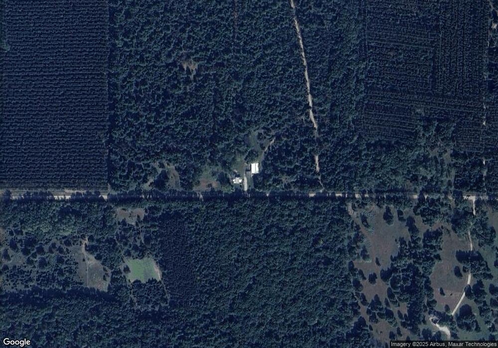
Map
Nearby Homes
- E806 Mynard Rd
- N1053 State Road 22
- E1400 Stratton Lake Rd
- 9866 Wisconsin 22
- N2307 Whispering Pines Rd
- 9920 State Road 22
- N2208 Cleghorn Rd
- E1234 Pine Tree Point
- E1471 Arbor St
- N517 County Road K
- 0 County Road K Unit 50320455
- 10976 Red Pine Way
- E1280 County Road Q Unit 3
- E1280 County Road Q
- E1402 Grandview Rd
- E1592 Murray Ln
- 0 Echo Lake Rd Unit 50293066
- W6932 Alp Ct
- W5155 N Twin Lake Rd
- N2942 Highland Ln
- E553 Mynard Rd
- N1196 West Rd
- E620 Mynard Rd
- N1382 West Rd
- N1353 West Rd
- E656 Mynard Rd
- E694 Mynard Rd
- e 252 Johnson Rd
- E252 Johnson Rd
- E618 Suhs Rd
- E611 Suhs Rd
- E416 Suhs Rd
- E442 Stratton Lake Rd
- E424 Stratton Lake Rd
- E472 Stratton Lake Rd
- 0 Suhs Rd Unit 50137290
- 0 Suhs Rd Unit 50103747
- 0 Suhs Rd Unit 50103746
- 0 Suhs Rd Unit 50165029
- E573 Suhs Rd
Your Personal Tour Guide
Ask me questions while you tour the home.