n 5886 Par Rd Spooner, WI 54801
Estimated Value: $396,000 - $434,000
3
Beds
2
Baths
2,064
Sq Ft
$201/Sq Ft
Est. Value
About This Home
This home is located at n 5886 Par Rd, Spooner, WI 54801 and is currently estimated at $414,841, approximately $200 per square foot. n 5886 Par Rd is a home located in Washburn County with nearby schools including Spooner Elementary School, Spooner Middle School, and Spooner High School.
Ownership History
Date
Name
Owned For
Owner Type
Purchase Details
Closed on
Sep 13, 2012
Sold by
Walz Clifford J and Walz Eunice
Bought by
The Clifford J And Eunice Walz Revocable
Current Estimated Value
Purchase Details
Closed on
Jun 22, 2012
Sold by
Walz Clifford J and Walz Eunice
Bought by
Walz Clifford J
Purchase Details
Closed on
Aug 5, 2010
Sold by
Walz Clifford J and Walz Eunice
Bought by
Walz Clifford Ja Nd Eunice
Purchase Details
Closed on
Jul 9, 2008
Sold by
Cook Carl Josephine
Bought by
Walz Clifford J Eunice
Create a Home Valuation Report for This Property
The Home Valuation Report is an in-depth analysis detailing your home's value as well as a comparison with similar homes in the area
Purchase History
| Date | Buyer | Sale Price | Title Company |
|---|---|---|---|
| The Clifford J And Eunice Walz Revocable | -- | -- | |
| Walz Clifford J | $166,700 | -- | |
| Walz Clifford Ja Nd Eunice | -- | -- | |
| Walz Clifford J Eunice | $185,400 | -- |
Source: Public Records
Tax History
| Year | Tax Paid | Tax Assessment Tax Assessment Total Assessment is a certain percentage of the fair market value that is determined by local assessors to be the total taxable value of land and additions on the property. | Land | Improvement |
|---|---|---|---|---|
| 2025 | $3,846 | $461,300 | $44,000 | $417,300 |
| 2024 | $3,732 | $195,000 | $20,900 | $174,100 |
| 2023 | $3,513 | $195,000 | $20,900 | $174,100 |
| 2022 | $2,795 | $195,000 | $20,900 | $174,100 |
| 2021 | $2,714 | $195,000 | $20,900 | $174,100 |
| 2020 | $2,661 | $195,000 | $20,900 | $174,100 |
| 2019 | $2,493 | $195,000 | $20,900 | $174,100 |
| 2018 | $2,475 | $195,000 | $20,900 | $174,100 |
| 2017 | $2,525 | $195,000 | $20,900 | $174,100 |
| 2016 | $2,584 | $195,000 | $20,900 | $174,100 |
| 2015 | $2,663 | $195,000 | $20,900 | $174,100 |
| 2014 | $2,705 | $195,000 | $20,900 | $174,100 |
| 2012 | $2,136 | $175,200 | $22,700 | $152,500 |
Source: Public Records
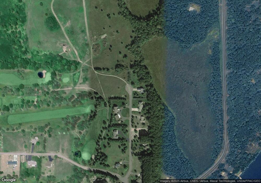
Map
Nearby Homes
- 5810 Bear Path Ln
- TBD Foss Ln
- W6103 Foss Ln
- 0 U S 53
- 1540 Woodland St
- 1520 Woodland St
- 1600 Trails End Rd
- xxx Trails End
- 1120 Northland Dr
- 409 Poplar St
- 222 Spruce St
- Lot 3 Spooner Outlet Dr
- Lot 5 Spooner Outlet Dr
- W5362 Yellowsands Dr Unit 1
- Lot 7 Little MacKey Dr
- Lot 4 Spooner Outlet Dr
- Lot 6 Spooner Outlet Dr
- Lot 4 Little MacKey Dr
- 0000 Cesna Ln Ln
- N5009 Degenaar Dr
- N5886 Par Rd
- 5886 Par Rd
- N5872 Par Rd
- N5872 N5872 Par Rd
- 5864 Par Rd
- N5864 Par Rd
- N5875 Par Rd
- N5834 Par Rd
- n 5825 Par Rd
- N5825 Par Rd
- Lot 24 Fairway Dr
- 0 Fairway Dr
- Lot 15 Fairway Dr
- Lot 19 Fairway Dr
- Lot 18 Fairway Dr
- Lot 17 Fairway Dr
- N5803 County Highway H
- N5846 Hwy H
- w 6190 Fairway Dr
- N5957 County Highway H
Your Personal Tour Guide
Ask me questions while you tour the home.