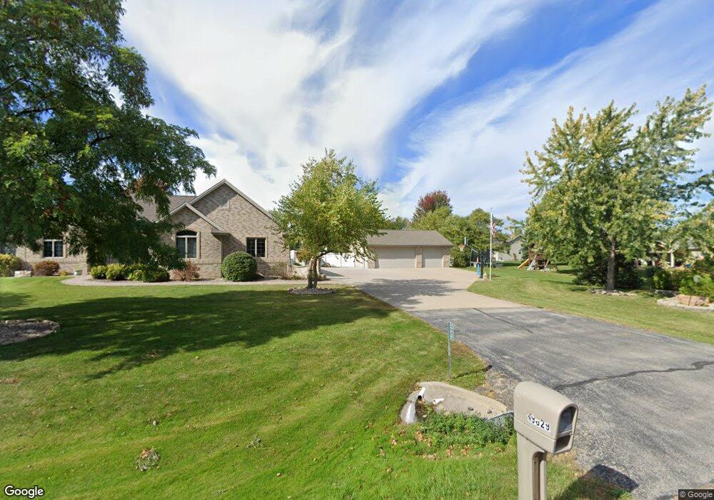
n 9629 State Park Rd Appleton, WI 54915
Estimated Value: $572,000 - $746,000
4
Beds
5
Baths
2,553
Sq Ft
$264/Sq Ft
Est. Value
About This Home
This home is located at n 9629 State Park Rd, Appleton, WI 54915 and is currently estimated at $672,914, approximately $263 per square foot. n 9629 State Park Rd is a home located in Calumet County with nearby schools including River View School, Kaukauna High School, and New Directions Learning Community.
Ownership History
Date
Name
Owned For
Owner Type
Purchase Details
Closed on
Apr 30, 2020
Sold by
Gunderson and David
Bought by
Beine Andrew T and Beine Laura
Current Estimated Value
Home Financials for this Owner
Home Financials are based on the most recent Mortgage that was taken out on this home.
Original Mortgage
$405,900
Outstanding Balance
$356,313
Interest Rate
3.6%
Mortgage Type
New Conventional
Estimated Equity
$316,601
Purchase Details
Closed on
Aug 24, 2015
Sold by
Ermers Tom and Ermers Bonnie L
Bought by
Gunderson David and Gunderson Lauralai
Home Financials for this Owner
Home Financials are based on the most recent Mortgage that was taken out on this home.
Original Mortgage
$150,000
Interest Rate
4.09%
Mortgage Type
New Conventional
Create a Home Valuation Report for This Property
The Home Valuation Report is an in-depth analysis detailing your home's value as well as a comparison with similar homes in the area
Home Values in the Area
Average Home Value in this Area
Purchase History
| Date | Buyer | Sale Price | Title Company |
|---|---|---|---|
| Beine Andrew T | $1,353,000 | None Listed On Document | |
| Gunderson David | $344,900 | -- |
Source: Public Records
Mortgage History
| Date | Status | Borrower | Loan Amount |
|---|---|---|---|
| Open | Beine Andrew T | $405,900 | |
| Previous Owner | Gunderson David | $150,000 |
Source: Public Records
Tax History
| Year | Tax Paid | Tax Assessment Tax Assessment Total Assessment is a certain percentage of the fair market value that is determined by local assessors to be the total taxable value of land and additions on the property. | Land | Improvement |
|---|---|---|---|---|
| 2024 | $8,598 | $450,900 | $56,400 | $394,500 |
| 2023 | $7,852 | $450,900 | $56,400 | $394,500 |
| 2022 | $7,376 | $450,900 | $56,400 | $394,500 |
| 2021 | $7,378 | $450,900 | $56,400 | $394,500 |
| 2020 | $8,351 | $450,900 | $56,400 | $394,500 |
| 2019 | $8,025 | $450,900 | $56,400 | $394,500 |
| 2018 | $7,574 | $372,000 | $56,400 | $315,600 |
| 2017 | $7,191 | $372,000 | $56,400 | $315,600 |
| 2016 | $6,739 | $372,000 | $56,400 | $315,600 |
| 2015 | $6,346 | $350,100 | $56,400 | $293,700 |
| 2013 | -- | $0 | $0 | $0 |
Source: Public Records
Map
Nearby Homes
- N9598 Chadbury Ln
- N9581 Hartford Ln
- N9678 Hopfensperger Rd
- N9551 Clover Ridge Trail
- W5479 Hidden Trail Ln
- N274 Mueller Ct
- W2286 Valleywood Ln
- N9427 Dusty Dr
- 657 Hideaway Ct
- N328 Red Tail Ln
- 535 Coonen Dr
- N371 Fieldside Ln
- W2512 Buchanan Rd
- N9562 Otte Ct
- N9265 Anton St
- 0 Otte Ct
- W5609 Tonys Way
- N9337 Rosella Dr
- W2689 Buchanan Rd
- N9650 Darboy Dr
- N9629 State Park Rd
- 0 State Park Ct Unit 50084382
- W5307 Amy Ave
- W5317 Amy Ave
- N9628 Chadbury Ln
- N9634 Chadbury Ln
- N9620 Chadbury Ln
- w 5295 State Park Ct
- N9642 Chadbury Ln
- N9630 State Park Rd
- W5295 State Park Ct
- N9612 Chadbury Ln
- N9609 State Park Rd
- 0 Amy Ave
- N9610 State Park Rd
- W5308 Amy Ave
- W5287 State Park Ct
- W5287 State Park Ct
- N9606 Chadbury Ln
- W5326 Amy Ave
Your Personal Tour Guide
Ask me questions while you tour the home.