N2194 Smith Rd Waupaca, WI 54981
Estimated Value: $442,000 - $811,000
3
Beds
2
Baths
2,740
Sq Ft
$259/Sq Ft
Est. Value
About This Home
This home is located at N2194 Smith Rd, Waupaca, WI 54981 and is currently estimated at $708,291, approximately $258 per square foot. N2194 Smith Rd is a home located in Waupaca County with nearby schools including Waupaca Learning Center Elementary School, Waupaca Middle School, and Waupaca High School.
Ownership History
Date
Name
Owned For
Owner Type
Purchase Details
Closed on
Sep 23, 2013
Sold by
Mueller Robert J and Mueller Debra L
Bought by
Mueller Debra and Mueller Robert
Current Estimated Value
Purchase Details
Closed on
May 16, 2008
Sold by
Hellweg John H and Hellweg Hidegard
Bought by
Mueller Robert J and Mueller Debra L
Home Financials for this Owner
Home Financials are based on the most recent Mortgage that was taken out on this home.
Original Mortgage
$400,000
Outstanding Balance
$251,590
Interest Rate
5.75%
Mortgage Type
Adjustable Rate Mortgage/ARM
Estimated Equity
$456,701
Create a Home Valuation Report for This Property
The Home Valuation Report is an in-depth analysis detailing your home's value as well as a comparison with similar homes in the area
Home Values in the Area
Average Home Value in this Area
Purchase History
| Date | Buyer | Sale Price | Title Company |
|---|---|---|---|
| Mueller Debra | -- | None Available | |
| Mueller Robert J | $735,000 | None Available |
Source: Public Records
Mortgage History
| Date | Status | Borrower | Loan Amount |
|---|---|---|---|
| Open | Mueller Robert J | $400,000 |
Source: Public Records
Tax History
| Year | Tax Paid | Tax Assessment Tax Assessment Total Assessment is a certain percentage of the fair market value that is determined by local assessors to be the total taxable value of land and additions on the property. | Land | Improvement |
|---|---|---|---|---|
| 2024 | $5,072 | $577,400 | $154,800 | $422,600 |
| 2023 | $5,072 | $463,400 | $40,800 | $422,600 |
| 2022 | $5,336 | $294,900 | $25,500 | $269,400 |
| 2021 | $5,169 | $294,900 | $25,500 | $269,400 |
| 2020 | $4,866 | $294,900 | $25,500 | $269,400 |
| 2019 | $4,973 | $294,900 | $25,500 | $269,400 |
| 2018 | $5,878 | $294,900 | $25,500 | $269,400 |
| 2017 | $5,781 | $294,900 | $25,500 | $269,400 |
| 2016 | $5,781 | $294,900 | $25,500 | $269,400 |
| 2015 | $5,533 | $294,900 | $25,500 | $269,400 |
| 2014 | $5,517 | $286,700 | $25,500 | $261,200 |
| 2013 | $5,460 | $286,700 | $25,500 | $261,200 |
Source: Public Records
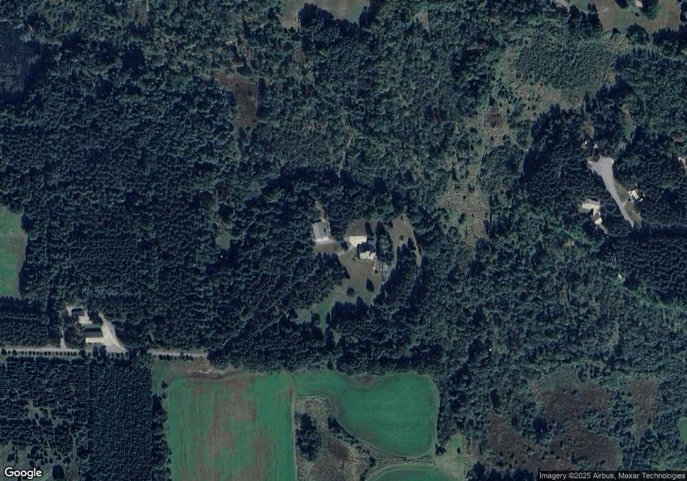
Map
Nearby Homes
- E2030 Polly Rd
- N2345 Parfreyville Rd
- 0 State Road 22 Unit 50271805
- 0 State Road 22 Unit 50271804
- N2355 Parfreyville Rd
- N2071 Mary Jane Cir
- E2341 Danielson Rd
- E1471 Arbor St
- E1592 Murray Ln
- E1402 Grandview Rd
- N2883 Otter Dr
- E1747 Pine Ridge Ln
- 0 Pine Ridge Ln Unit 50322781
- N1827 Shambeau Ct
- E1234 Pine Tree Point
- 1456 Foxfire Ct
- 1547 Foxfire Ct
- E1280 County Road Q Unit 3
- E1280 County Road Q
- E1400 Stratton Lake Rd
- e 2029 Waletta Dr
- E2047 Waletta Dr
- E2029 Waletta Dr
- E2024 Waletta Dr
- 0 Waletta Dr
- E2046 Waletta Dr
- E2038 Waletta Dr
- N2336 Parfreyville Rd
- E2068 Waletta Dr
- N2319 Parfreyville Rd
- N2219 Parfreyville Rd
- N2243 Parfreyville Rd
- N2227 Parfreyville Rd
- N2247 Parfreyville Rd
- N2255 Parfreyville Rd
- N2315 Parfreyville Rd
- N2206 Parfreyville Rd
- N2301 Parfreyville Rd
- N2252 Parfreyville Rd
- E2082 Meadowlark Ln
Your Personal Tour Guide
Ask me questions while you tour the home.