N2481 E Miner Dr Waupaca, WI 54981
Estimated Value: $1,388,000 - $1,650,000
3
Beds
3
Baths
1,512
Sq Ft
$999/Sq Ft
Est. Value
About This Home
This home is located at N2481 E Miner Dr, Waupaca, WI 54981 and is currently estimated at $1,510,219, approximately $998 per square foot. N2481 E Miner Dr is a home located in Waupaca County with nearby schools including Waupaca Learning Center Elementary School, Waupaca Middle School, and Waupaca High School.
Ownership History
Date
Name
Owned For
Owner Type
Purchase Details
Closed on
Nov 18, 2019
Sold by
Chmurski June J
Bought by
Chmurski Michael C and Esser-Chmurski Tammy A
Current Estimated Value
Create a Home Valuation Report for This Property
The Home Valuation Report is an in-depth analysis detailing your home's value as well as a comparison with similar homes in the area
Home Values in the Area
Average Home Value in this Area
Purchase History
| Date | Buyer | Sale Price | Title Company |
|---|---|---|---|
| Chmurski Michael C | -- | None Listed On Document | |
| Chmurski Michael C | -- | None Listed On Document |
Source: Public Records
Tax History
| Year | Tax Paid | Tax Assessment Tax Assessment Total Assessment is a certain percentage of the fair market value that is determined by local assessors to be the total taxable value of land and additions on the property. | Land | Improvement |
|---|---|---|---|---|
| 2024 | $8,983 | $802,800 | $568,000 | $234,800 |
| 2023 | $8,983 | $802,800 | $568,000 | $234,800 |
| 2022 | $8,432 | $454,300 | $284,000 | $170,300 |
| 2021 | $8,161 | $454,300 | $284,000 | $170,300 |
| 2020 | $7,556 | $454,300 | $284,000 | $170,300 |
| 2019 | $7,693 | $454,300 | $284,000 | $170,300 |
| 2018 | $9,098 | $454,300 | $284,000 | $170,300 |
| 2017 | $9,121 | $454,300 | $284,000 | $170,300 |
| 2016 | $8,983 | $454,300 | $284,000 | $170,300 |
| 2015 | $8,737 | $454,300 | $284,000 | $170,300 |
| 2014 | $8,614 | $437,500 | $268,000 | $169,500 |
| 2013 | $8,514 | $437,500 | $268,000 | $169,500 |
Source: Public Records
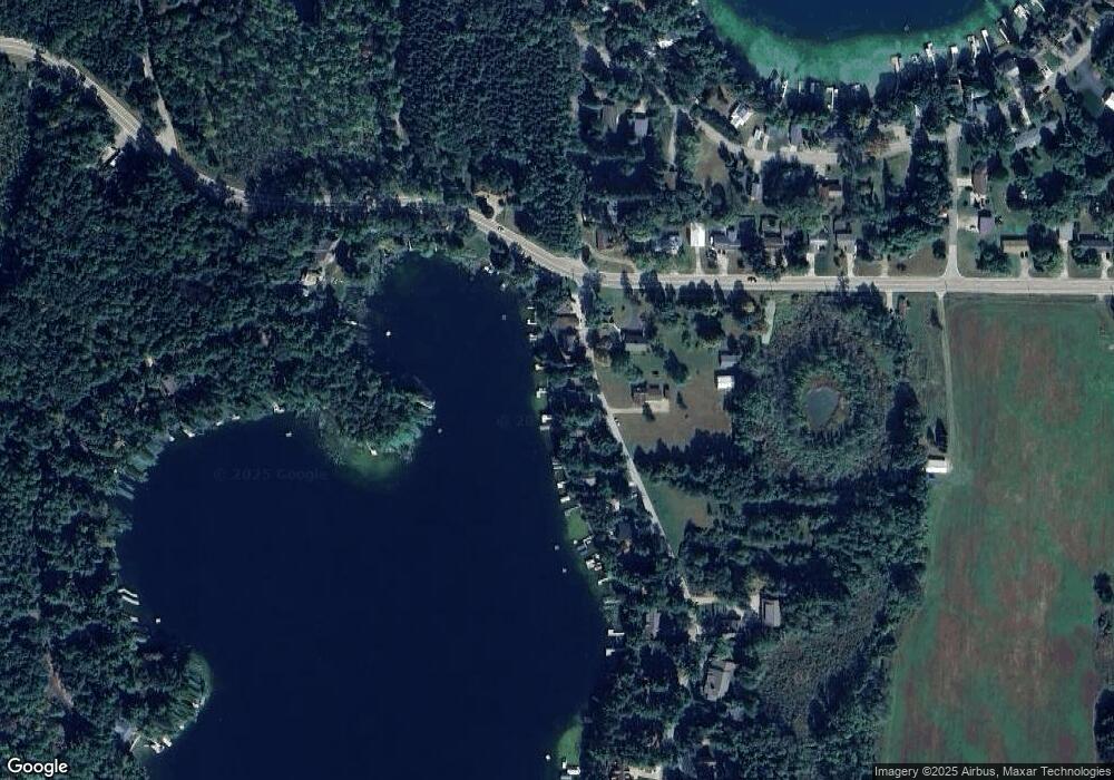
Map
Nearby Homes
- E1402 Grandview Rd
- E1280 County Road Q Unit 3
- E1280 County Road Q
- E1234 Pine Tree Point
- N2208 Cleghorn Rd
- E1592 Murray Ln
- N2942 Highland Ln
- E1471 Arbor St
- N2307 Whispering Pines Rd
- E1747 Pine Ridge Ln
- N3032 Hicks Ln
- N2883 Otter Dr
- 0 State Road 22 Unit 50271805
- 0 State Road 22 Unit 50271804
- E2030 Polly Rd
- 2001 State Rd 54
- N2345 Parfreyville Rd
- 1456 Foxfire Ct
- 1547 Foxfire Ct
- E1400 Stratton Lake Rd
- N2485 E Miner Dr
- N2471 E Miner Dr
- N2491 E Miner Dr
- N2482 E Miner Dr
- N2465 E Miner Dr
- N2495 E Miner Dr
- E1305 County Road Q
- N2461 E Miner Dr
- E1297 County Road Q
- N2455 E Miner Dr
- E1310 County Road Q
- E1327 County Road Q
- N2449 E Miner Dr
- N2445 E Miner Dr
- E1318 County Road Q
- E1318 County Highway Q
- 1305 E Grandview
- E1305 Grandview Rd
- n 2445 E Miner Dr
- 0 E Miner Dr Unit 50073383
Your Personal Tour Guide
Ask me questions while you tour the home.