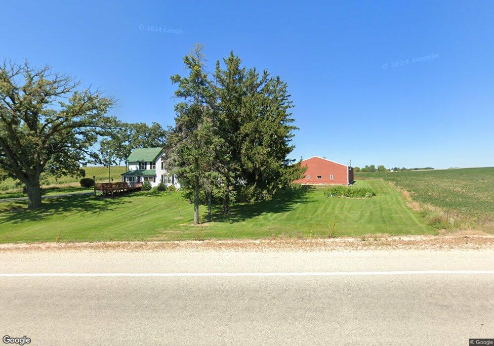
N4175 County Rd E Hustisford, WI 53034
Estimated Value: $403,000 - $445,000
Studio
--
Bath
--
Sq Ft
217,800
Sq Ft Lot
About This Home
This home is located at N4175 County Rd E, Hustisford, WI 53034 and is currently estimated at $417,739. N4175 County Rd E is a home located in Dodge County with nearby schools including John Hustis Elementary School, Hustisford High School, and Bethany Lutheran School.
Ownership History
Date
Name
Owned For
Owner Type
Purchase Details
Closed on
Nov 9, 2006
Sold by
Ddl Inc
Bought by
Kadnger Properties Llc
Current Estimated Value
Home Financials for this Owner
Home Financials are based on the most recent Mortgage that was taken out on this home.
Original Mortgage
$200,000
Outstanding Balance
$116,196
Interest Rate
6.36%
Mortgage Type
Purchase Money Mortgage
Estimated Equity
$301,543
Create a Home Valuation Report for This Property
The Home Valuation Report is an in-depth analysis detailing your home's value as well as a comparison with similar homes in the area
Purchase History
| Date | Buyer | Sale Price | Title Company |
|---|---|---|---|
| Kadnger Properties Llc | $230,000 | -- |
Source: Public Records
Mortgage History
| Date | Status | Borrower | Loan Amount |
|---|---|---|---|
| Open | Kadnger Properties Llc | $200,000 |
Source: Public Records
Tax History
| Year | Tax Paid | Tax Assessment Tax Assessment Total Assessment is a certain percentage of the fair market value that is determined by local assessors to be the total taxable value of land and additions on the property. | Land | Improvement |
|---|---|---|---|---|
| 2025 | $3,888 | $216,500 | $46,800 | $169,700 |
| 2024 | $3,601 | $216,600 | $46,900 | $169,700 |
| 2023 | $3,532 | $216,500 | $46,800 | $169,700 |
| 2022 | $3,750 | $216,600 | $46,900 | $169,700 |
| 2021 | $3,257 | $216,600 | $46,900 | $169,700 |
| 2020 | $3,508 | $216,600 | $46,900 | $169,700 |
| 2019 | $3,478 | $216,600 | $46,900 | $169,700 |
| 2018 | $3,295 | $202,000 | $46,900 | $155,100 |
| 2017 | $3,685 | $220,900 | $59,600 | $161,300 |
| 2016 | $3,763 | $220,900 | $59,600 | $161,300 |
| 2015 | $3,736 | $220,900 | $59,600 | $161,300 |
| 2014 | $3,963 | $220,900 | $59,600 | $161,300 |
Source: Public Records
Map
Nearby Homes
- 0 Confidential Rd Unit 1955726
- 143 N Ridge St
- 244 S Ridge St
- N4554 Lakeview Rd
- 127 S Lake St
- 109 S Lake St
- 304 S Lake St
- W4011 Hickory Rd
- N4583 Hickory Rd
- N4958 Arrowhead Trail
- N4985 Arrowhead Trail
- N4973 Lake Dr
- Lt1 W Horseshoe Rd
- N5413 County Rd S
- 820 E Center St
- 233 W Pleasant St
- 500 South St
- 500 North St
- 119 S Schuyler St
- 138 E Lehman St
Your Personal Tour Guide
Ask me questions while you tour the home.