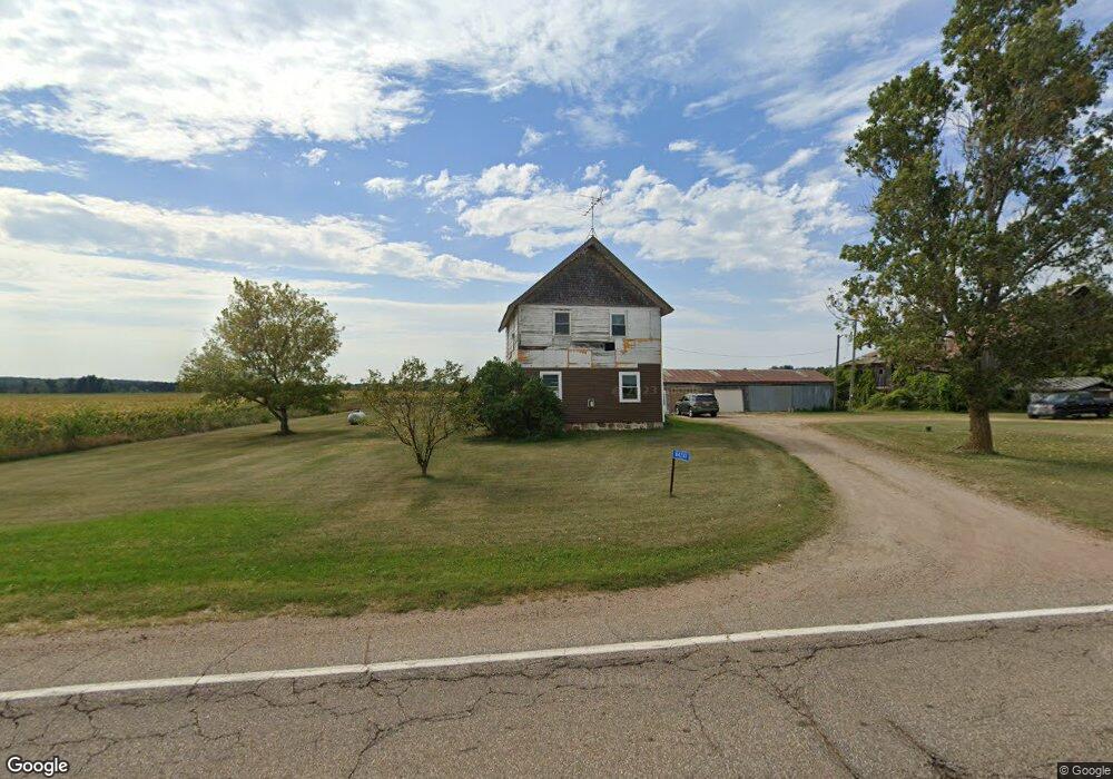
N4241 State Road 49 Waupaca, WI 54981
Estimated Value: $189,914 - $281,000
4
Beds
--
Bath
2,152
Sq Ft
$106/Sq Ft
Est. Value
About This Home
This home is located at N4241 State Road 49, Waupaca, WI 54981 and is currently estimated at $228,971, approximately $106 per square foot. N4241 State Road 49 is a home with nearby schools including Waupaca Learning Center Elementary School, Waupaca Middle School, and Waupaca High School.
Ownership History
Date
Name
Owned For
Owner Type
Purchase Details
Closed on
May 3, 2024
Sold by
Harmann Debra M
Bought by
Hazen Howard M and Hazen Sarah R
Current Estimated Value
Home Financials for this Owner
Home Financials are based on the most recent Mortgage that was taken out on this home.
Original Mortgage
$143,000
Outstanding Balance
$140,960
Interest Rate
6.79%
Mortgage Type
Construction
Estimated Equity
$88,011
Purchase Details
Closed on
Apr 15, 2013
Sold by
Harmann Debra M
Bought by
Hazen Howard and Fronezak Sarah
Home Financials for this Owner
Home Financials are based on the most recent Mortgage that was taken out on this home.
Original Mortgage
$76,000
Interest Rate
12.03%
Create a Home Valuation Report for This Property
The Home Valuation Report is an in-depth analysis detailing your home's value as well as a comparison with similar homes in the area
Purchase History
| Date | Buyer | Sale Price | Title Company |
|---|---|---|---|
| Hazen Howard M | -- | None Listed On Document | |
| Hazen Howard | $79,000 | None Available |
Source: Public Records
Mortgage History
| Date | Status | Borrower | Loan Amount |
|---|---|---|---|
| Open | Hazen Howard M | $143,000 | |
| Previous Owner | Hazen Howard | $76,000 |
Source: Public Records
Tax History
| Year | Tax Paid | Tax Assessment Tax Assessment Total Assessment is a certain percentage of the fair market value that is determined by local assessors to be the total taxable value of land and additions on the property. | Land | Improvement |
|---|---|---|---|---|
| 2024 | $1,820 | $123,700 | $38,300 | $85,400 |
| 2023 | $1,820 | $95,700 | $22,900 | $72,800 |
| 2022 | $1,396 | $95,700 | $22,900 | $72,800 |
| 2021 | $1,415 | $95,700 | $22,900 | $72,800 |
| 2020 | $1,438 | $95,700 | $22,900 | $72,800 |
| 2019 | $1,452 | $95,700 | $22,900 | $72,800 |
| 2018 | $1,610 | $95,700 | $22,900 | $72,800 |
| 2017 | $1,745 | $95,700 | $22,900 | $72,800 |
| 2016 | $1,607 | $95,700 | $22,900 | $72,800 |
| 2015 | $1,776 | $95,700 | $22,900 | $72,800 |
| 2014 | $1,784 | $95,700 | $22,900 | $72,800 |
| 2013 | $1,787 | $95,700 | $22,900 | $72,800 |
Source: Public Records
Map
Nearby Homes
- 901 Thomas Trail
- 833 Woodland Cir
- E2315 Woodridge Dr
- 651 Leighton Rd
- 694 Leighton Rd
- 310 Granite St
- N4221 Oakland Dr
- 315 Granite St
- N3405 Covered Bridge Rd
- 608 W Union St
- 0 Feathers Ct Unit 20803048
- 0 N Hill Rd Unit 20803046
- 0 N Hill Rd Unit 20803055
- 0 N Hill Rd Unit 20803057
- 0 Constance Rd Unit 20803051
- 0 Constance Rd Unit 50285836
- 0 Constance Rd Unit 20803050
- 725 Shearer St
- 1015 W Fulton St
- 837 Sunridge Dr
- N4194 State Road 49
- E2599 White Tail Trail
- E2596 White Tail Trail
- e 2596 White Tail Trail
- E2567 White Tail Trail
- E2567 White Tail Trail
- - State Highway 49
- N4351 State Road 49
- E2580 White Tail Trail
- E2580 White Tail Trail
- N4236 E Ware Rd
- E2547 White Tail Trail
- E2547 White Tail Trail
- E2558 White Tail Trail
- E2546 White Tail Trail
- N4089 State Road 49
- N4089 Wisconsin 49
- E2513 White Tail Trail
- N4092 State Road 49
- N4350 Ware Rd
Your Personal Tour Guide
Ask me questions while you tour the home.