N6003 20th Ave Mauston, WI 53948
Estimated Value: $168,000 - $302,921
About This Home
This home is located at N6003 20th Ave, Mauston, WI 53948 and is currently estimated at $252,480. N6003 20th Ave is a home with nearby schools including West Side Elementary School, Lyndon Station Elementary School, and Grayside Elementary School.
Ownership History
We collect this data history from publicly available records. To have your information removed, we recommend requesting removal directly through your county’s website.
Purchase Details
Purchase Details
Purchase History
We collect this data history from publicly available records. To have your information removed, we recommend requesting removal directly through your county’s website.
| Date | Buyer | Sale Price | Title Company |
|---|---|---|---|
| $116,800 | Attorney Peter J Curran | ||
| $75,000 | Attorney Peter J Curran | ||
| $233,500 | Attorney Peter J Curran | ||
| $233,500 | Attorney Peter J Curran |
Tax History
We collect this data history from publicly available records. To have your information removed, we recommend requesting removal directly through your county’s website.
| Year | Tax Paid | Tax Assessment Tax Assessment Total Assessment is a certain percentage of the fair market value that is determined by local assessors to be the total taxable value of land and additions on the property. | Land | Improvement |
|---|---|---|---|---|
| 2025 | $2,098 | $173,000 | $111,600 | $61,400 |
| 2024 | $2,059 | $109,000 | $68,400 | $40,600 |
| 2023 | $1,890 | $109,100 | $68,500 | $40,600 |
| 2022 | $1,795 | $114,200 | $73,600 | $40,600 |
| 2021 | $1,771 | $114,200 | $73,600 | $40,600 |
| 2020 | $2,073 | $97,900 | $58,700 | $39,200 |
| 2019 | $2,024 | $97,900 | $58,700 | $39,200 |
| 2018 | $1,915 | $97,900 | $58,700 | $39,200 |
| 2017 | $1,808 | $97,900 | $58,700 | $39,200 |
| 2016 | $1,905 | $97,900 | $58,700 | $39,200 |
| 2015 | $2,219 | $97,900 | $58,700 | $39,200 |
| 2014 | $1,834 | $97,900 | $58,700 | $39,200 |
| 2013 | $2,157 | $113,000 | $73,800 | $39,200 |
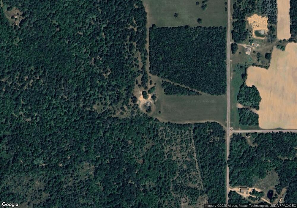
Map
- W3970 Boaters Dream Dr
- W4237 Wildwood Dr
- N5466 47th St
- W4248 Wildwood Dr
- N6921 Sandstone Dr
- W3404 County Road Hh
- W4134 Vista Dr
- 5 Deer Run
- 15 Quail Walk
- 23 Quail Walk
- 1922A Edgewood Ave
- N7088 Timber Ridge Ln
- W5120 County Road G
- N7109 Timber Ridge Ln
- N5416 15th Ave
- N7123 Timber Ridge Ln
- N7137 Timber Ridge Ln
- N6866 16th Ave
- N7151 Timber Ridge Ln
- N4738 17th Ave
- N6064 20th Ave
- N5922 20th Ave
- 0 43rd St Unit 818762
- 0 43rd St Unit 818767
- 0 43rd St Unit 1506143
- 0 43rd St Unit 1568757
- 0 43rd St Unit 1568751
- 0 43rd St Unit 1693198
- 0 43rd St Unit 1723977
- 0 43rd St Unit 1754820
- N6106 20th Ave
- W4447 44th St
- N5898 20th Ave
- N5875 20th Ave
- N5875 20th Ave
- N6131 20th Ave
- Lot 3 20th Ave
- W4709 43rd St
- 180 Ac 43rd St
- L 1-2 20th Ave
Ask me questions while you tour the home.