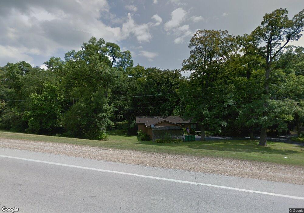
S565 Rt 47 Elburn, IL 60119
Estimated Value: $356,521 - $560,000
Studio
--
Bath
--
Sq Ft
1.28
Acres Lot
About This Home
This home is located at S565 Rt 47, Elburn, IL 60119 and is currently estimated at $479,174. S565 Rt 47 is a home with nearby schools including Kaneland Blackberry Creek Elementary School, Harter Middle School, and Kaneland High School.
Ownership History
Date
Name
Owned For
Owner Type
Purchase Details
Closed on
Jul 22, 2005
Sold by
Vernon Ellen C
Bought by
Stark Richard L and Stark Joann
Current Estimated Value
Home Financials for this Owner
Home Financials are based on the most recent Mortgage that was taken out on this home.
Original Mortgage
$150,000
Outstanding Balance
$78,403
Interest Rate
5.68%
Mortgage Type
Fannie Mae Freddie Mac
Estimated Equity
$400,771
Purchase Details
Closed on
Sep 5, 2001
Sold by
Vernon Gerald E and Vernon Ellen C
Bought by
Vernon Ellen C and Ellen C Vernon Revocable Living Trust
Create a Home Valuation Report for This Property
The Home Valuation Report is an in-depth analysis detailing your home's value as well as a comparison with similar homes in the area
Home Values in the Area
Average Home Value in this Area
Purchase History
We collect this data history from publicly available records. To have your information removed, we recommend requesting removal directly through your county’s website.
| Date | Buyer | Sale Price | Title Company |
|---|---|---|---|
| Stark Richard L | $320,000 | Chicago Title Insurance Comp | |
| Vernon Ellen C | -- | -- |
Source: Public Records
Mortgage History
We collect this data history from publicly available records. To have your information removed, we recommend requesting removal directly through your county’s website.
| Date | Status | Borrower | Loan Amount |
|---|---|---|---|
| Open | Stark Richard L | $150,000 |
Source: Public Records
Tax History
| Year | Tax Paid | Tax Assessment Tax Assessment Total Assessment is a certain percentage of the fair market value that is determined by local assessors to be the total taxable value of land and additions on the property. | Land | Improvement |
|---|---|---|---|---|
| 2024 | $7,286 | $98,813 | $24,456 | $74,357 |
| 2023 | $7,009 | $89,181 | $22,072 | $67,109 |
| 2022 | $6,183 | $75,394 | $20,257 | $55,137 |
| 2021 | $5,888 | $72,161 | $19,388 | $52,773 |
| 2020 | $5,784 | $70,470 | $18,934 | $51,536 |
| 2019 | $5,793 | $69,435 | $18,656 | $50,779 |
| 2018 | $5,418 | $64,192 | $18,656 | $45,536 |
| 2017 | $5,506 | $63,383 | $18,444 | $44,939 |
| 2016 | $6,314 | $69,868 | $29,330 | $40,538 |
| 2015 | -- | $81,482 | $28,186 | $53,296 |
| 2014 | -- | $81,923 | $36,169 | $45,754 |
| 2013 | -- | $81,923 | $36,169 | $45,754 |
Source: Public Records
Map
Nearby Homes
- 16 Derek Dr
- #11 Derek Dr
- Lot #12 Derek Dr
- Lot #5 Derek Dr
- Lot #6 Derek Dr
- Lot #4 Derek Dr
- Lot #7 Derek Dr
- 0S790 Rowe Rd
- Lot 9 Rowe Rd
- 1S100 Illinois 47
- 1933 Spring Valley Dr
- 660 Avon Ct
- 1S069 Green Rd
- 00 Rt 38 Rd
- 1403 Dodson Ave
- 834 Citizen Ave
- 1303 Collins Dr
- 1234 Blackberry Creek Dr Unit 5
- 43W510 Tall Oaks Trail
- 1038 Veteran Ave
- 43W551 Timbercrest Dr
- 43W583 Timbercrest Dr
- 43W539 Timbercrest Dr
- S571 Rt 47
- 43W605 Timbercrest Dr
- S570 Illinois 47
- 0S590 Il Route 47
- 43W621 Timbercrest Dr
- 43W524 Timbercrest Dr
- 43W511 Timbercrest Dr
- 43W534 Timbercrest Dr
- 43W574 Timbercrest Dr
- 43W594 Timbercrest Dr
- 43W614 Timbercrest Dr
- 43W496 Timbercrest Dr
- 43W500 Timbercrest Dr
- 0S425 Il Route 47
- 0S675 Il Route 47
- 0S687 Autumn Woods Ln
- S355 Rte 47
Your Personal Tour Guide
Ask me questions while you tour the home.