w 5240 Michael Dr Hilbert, WI 54129
Estimated Value: $208,420 - $481,000
About This Home
This home is located at w 5240 Michael Dr, Hilbert, WI 54129 and is currently estimated at $325,855. w 5240 Michael Dr is a home located in Calumet County with nearby schools including Stockbridge Elementary School, Stockbridge Middle School, and Stockbridge High School.
Ownership History
We collect this data history from publicly available records. To have your information removed, we recommend requesting removal directly through your county’s website.
Purchase Details
Purchase Details
Purchase Details
Home Financials for this Owner
Home Financials are based on the most recent Mortgage that was taken out on this home.Purchase History
We collect this data history from publicly available records. To have your information removed, we recommend requesting removal directly through your county’s website.
| Date | Buyer | Sale Price | Title Company |
|---|---|---|---|
| $38,000 | -- | ||
| $43,500 | -- | ||
| $26,000 | -- |
Mortgage History
We collect this data history from publicly available records. To have your information removed, we recommend requesting removal directly through your county’s website.
| Date | Status | Borrower | Loan Amount |
|---|---|---|---|
| Previous Owner | $22,100 |
Tax History
We collect this data history from publicly available records. To have your information removed, we recommend requesting removal directly through your county’s website.
| Year | Tax Paid | Tax Assessment Tax Assessment Total Assessment is a certain percentage of the fair market value that is determined by local assessors to be the total taxable value of land and additions on the property. | Land | Improvement |
|---|---|---|---|---|
| 2025 | $1,618 | $88,700 | $35,000 | $53,700 |
| 2024 | -- | $88,700 | $35,000 | $53,700 |
| 2023 | $1,352 | $88,700 | $35,000 | $53,700 |
| 2022 | $1,488 | $88,700 | $35,000 | $53,700 |
| 2021 | $1,422 | $88,700 | $35,000 | $53,700 |
| 2020 | $1,450 | $88,700 | $35,000 | $53,700 |
| 2019 | $1,311 | $73,000 | $35,000 | $38,000 |
| 2018 | $4 | $200 | $200 | $0 |
| 2017 | $4 | $200 | $200 | $0 |
| 2016 | $4 | $200 | $200 | $0 |
| 2015 | $4 | $200 | $200 | $0 |
| 2013 | -- | $0 | $0 | $0 |
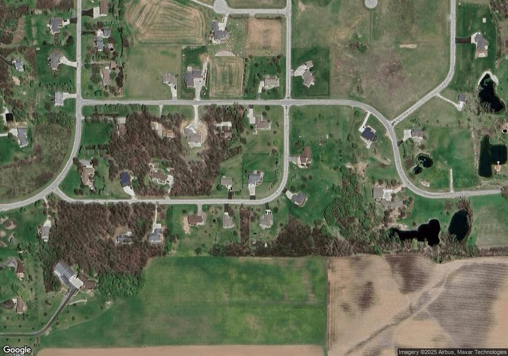
Map
- W5390 Campbell Dr
- N5627 State Highway 55
- N5661 Rockland Beach Rd
- 0 Highway 55 Unit 50329316
- 101 S Military Rd
- N6435 Fairy Springs Rd
- W5625 Faro Springs Rd
- N6491 Harrison Rd
- 605 Long Beach Dr
- 805 Paramount Dr
- n 4694 Lake Shore Dr
- W4543 Faro Springs Rd
- 848 Paramount Dr
- N4640 S Lake Shore Dr
- N6788 Harrison Rd
- N4603 Mud Creek Rd
- 0 Harrison Rd
- W3913 County Rd E
- N4163 Twilight Beach Rd
- N7629 Pigeon Rd
- w 5242 Michael Dr
- W5238 Michael Dr
- W5241 Michael Dr
- w 5237 Michael Dr
- w 5241 Michael Dr
- W5244 W5244 Michael Dr
- W5244 Michael Dr
- w 5236 Michael Dr
- w 5234 Michael Dr
- W5234 Michael Dr
- W5246 W5246 Michael Dr
- W5246 Michael Dr
- w 5233 Michael Dr
- N5628 Grogan Heights Unit Lot 73
- N5628 Grogan Heights
- W5232 Michael Dr
- W5249 Michael Dr
- w 5232 Michael Dr
- N5627 Grogan Heights
- N5707 State Highway 55
Ask me questions while you tour the home.