W10656 566th Ave Prescott, WI 54021
Estimated Value: $772,561 - $1,048,000
About This Home
This home is located at W10656 566th Ave, Prescott, WI 54021 and is currently estimated at $898,640, approximately $225 per square foot. W10656 566th Ave is a home located in Pierce County with nearby schools including Malone Elementary School, Prescott Middle School, and Prescott High School.
Ownership History
We collect this data history from publicly available records. To have your information removed, we recommend requesting removal directly through your county’s website.
Purchase Details
Home Financials for this Owner
Home Financials are based on the most recent Mortgage that was taken out on this home.Purchase Details
Purchase Details
Home Financials for this Owner
Home Financials are based on the most recent Mortgage that was taken out on this home.Purchase History
We collect this data history from publicly available records. To have your information removed, we recommend requesting removal directly through your county’s website.
| Date | Buyer | Sale Price | Title Company |
|---|---|---|---|
| $525,000 | Pierce County Abstract & Tit | ||
| $162,000 | None Available | ||
| $225,000 | None Available |
Mortgage History
We collect this data history from publicly available records. To have your information removed, we recommend requesting removal directly through your county’s website.
| Date | Status | Borrower | Loan Amount |
|---|---|---|---|
| Open | $521,469 | ||
| Previous Owner | $169,000 |
Tax History
We collect this data history from publicly available records. To have your information removed, we recommend requesting removal directly through your county’s website.
| Year | Tax Paid | Tax Assessment Tax Assessment Total Assessment is a certain percentage of the fair market value that is determined by local assessors to be the total taxable value of land and additions on the property. | Land | Improvement |
|---|---|---|---|---|
| 2025 | $8,110 | $567,300 | $74,000 | $493,300 |
| 2024 | $8,662 | $567,300 | $74,000 | $493,300 |
| 2023 | $8,023 | $567,300 | $74,000 | $493,300 |
| 2022 | $6,926 | $567,300 | $74,000 | $493,300 |
| 2021 | $7,638 | $391,200 | $79,000 | $312,200 |
| 2020 | $8,374 | $391,200 | $79,000 | $312,200 |
| 2019 | $7,876 | $391,200 | $79,000 | $312,200 |
| 2018 | $7,594 | $391,200 | $79,000 | $312,200 |
| 2017 | $7,935 | $391,200 | $79,000 | $312,200 |
| 2016 | $7,497 | $391,200 | $79,000 | $312,200 |
| 2015 | $7,529 | $391,200 | $79,000 | $312,200 |
| 2014 | $7,473 | $391,200 | $79,000 | $312,200 |
| 2013 | $6,991 | $391,200 | $79,000 | $312,200 |
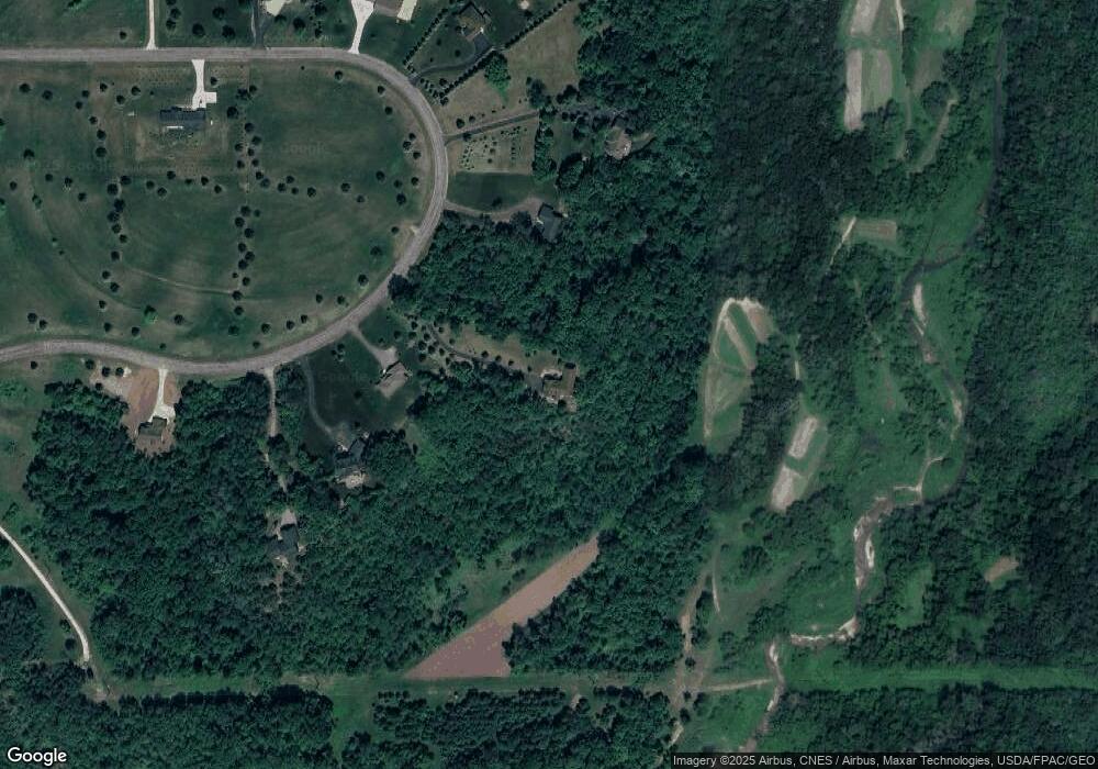
Map
- W10644 566th Ave
- W10415 521st Ave
- W10622 State Road 35
- W10708 468th Ave
- W11012 460th Ave
- Lot 121 452nd Ave
- Lot 41 463rd Ave
- N4387 1115th St
- N5168 1180th St
- W12041 497th Ave
- W12035 559th Ave
- Lot 11 1206th St
- W9397 637th Ave
- W8972 520th Ave
- tbd Pierce County Road O
- N5070 County Road O
- 17624 Blackbird Trail
- 470 Sea Wing Blvd
- 2101 Pleasant Dr
- 2088 Pleasant Dr
- 10660 566th Ave
- 10656 566th Ave
- W10652 566th Ave
- W10664 566th Ave
- Lot 15 566th Ave
- LOt 44 566th Ave
- XXX 566th Ave
- 10A Outlot 566th Ave
- Lot 27 566th Ave
- W10650 566th Ave
- W10668 566th Ave
- Lot 43 566th Ave
- Lot 20 566th Ave
- Lot CSM 2 566th Ave
- Lot 11 566th Ave
- Lot 11 555th Ave
- Lot 45 566th Ave
- Lot 13 566th Ave
- Lot 21 566th Ave
- W10695 566th Ave
Ask me questions while you tour the home.