Estimated Value: $313,000 - $558,000
3
Beds
--
Bath
1,700
Sq Ft
$253/Sq Ft
Est. Value
About This Home
This home is located at W305 Mill Rd, Unity, WI 54488 and is currently estimated at $430,098, approximately $252 per square foot. W305 Mill Rd is a home located in Clark County with nearby schools including Colby Elementary School, Colby Middle School, and Colby High School.
Ownership History
Date
Name
Owned For
Owner Type
Purchase Details
Closed on
Nov 1, 2012
Sold by
House Loraine
Bought by
Halopka Andrew A
Current Estimated Value
Home Financials for this Owner
Home Financials are based on the most recent Mortgage that was taken out on this home.
Original Mortgage
$126,000
Outstanding Balance
$85,205
Interest Rate
3.32%
Mortgage Type
Purchase Money Mortgage
Estimated Equity
$344,893
Create a Home Valuation Report for This Property
The Home Valuation Report is an in-depth analysis detailing your home's value as well as a comparison with similar homes in the area
Purchase History
| Date | Buyer | Sale Price | Title Company |
|---|---|---|---|
| Halopka Andrew A | $140,000 | -- |
Source: Public Records
Mortgage History
| Date | Status | Borrower | Loan Amount |
|---|---|---|---|
| Open | Halopka Andrew A | $126,000 |
Source: Public Records
Tax History
| Year | Tax Paid | Tax Assessment Tax Assessment Total Assessment is a certain percentage of the fair market value that is determined by local assessors to be the total taxable value of land and additions on the property. | Land | Improvement |
|---|---|---|---|---|
| 2025 | $7,584 | $361,700 | $30,400 | $331,300 |
| 2024 | $6,962 | $361,700 | $30,400 | $331,300 |
| 2023 | $5,685 | $361,700 | $30,400 | $331,300 |
| 2022 | $3,548 | $237,400 | $30,400 | $207,000 |
| 2021 | $3,049 | $157,000 | $23,400 | $133,600 |
| 2020 | $3,201 | $157,000 | $23,400 | $133,600 |
| 2019 | $3,035 | $157,000 | $23,400 | $133,600 |
| 2018 | $3,013 | $157,000 | $23,400 | $133,600 |
| 2017 | $468 | $157,000 | $23,400 | $133,600 |
| 2016 | $2,882 | $157,000 | $23,400 | $133,600 |
| 2015 | -- | $157,000 | $23,400 | $133,600 |
| 2014 | -- | $150,600 | $17,000 | $133,600 |
| 2013 | -- | $150,600 | $17,000 | $133,600 |
| 2011 | -- | $150,600 | $17,000 | $133,600 |
Source: Public Records
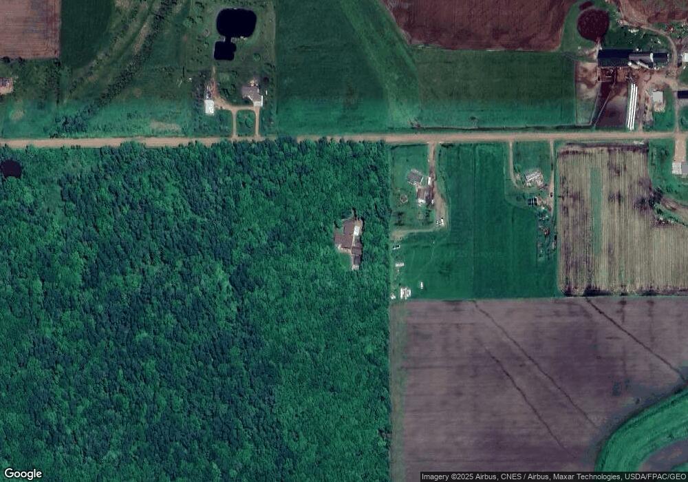
Map
Nearby Homes
- 411 S Main St
- 151 S Madison St
- 310 W Clark St
- 181 S Russell St
- 101790 Buxton Rd
- N10409 Hiline Ave
- 0000 S Division St
- 216 S 4th St
- Ooo County Rd F
- 201 N 3rd St
- 208 W Clark St
- 303 E Adams St
- 305 W Roberts St
- 205 W Roberts St
- 609 N 2nd St
- Lot 10 Woodsview Rd
- 605 E Maple St
- 0 201 W Dove St Unit 22505694
- 803 E Birch St
- Lot 4 and 5 Fairhaven Ave
- W283 Mill Rd
- W358 Mill Rd
- W259 Mill Rd
- W205 Mill Rd
- W426 Mill Rd
- W388 Kington Rd
- W460 Mill Rd
- W304 Kington Rd
- W268 Kington Rd
- W342 Kington Rd
- W494 Mill Rd
- N11402 Hi Line Ave
- W412 Kington Rd
- W389 Kington Rd
- N11505 Fairhaven Ave
- N11543 Fairhaven Ave
- W152 Kington Rd
- N11375 Fairhaven Ave
- W188 Kington Rd
- W285 Kington Rd
Your Personal Tour Guide
Ask me questions while you tour the home.