Estimated Value: $247,000 - $269,912
Studio
--
Bath
--
Sq Ft
10.01
Acres Lot
About This Home
This home is located at W3263 Kington Rd, Loyal, WI 54446 and is currently estimated at $258,456. W3263 Kington Rd is a home located in Clark County with nearby schools including Loyal Elementary School, Loyal Middle School, and Loyal High School.
Ownership History
Date
Name
Owned For
Owner Type
Purchase Details
Closed on
Apr 22, 2022
Sold by
Nikolai Todd B
Bought by
Schoelzel Shayne L and Schoelzel Emily A
Current Estimated Value
Home Financials for this Owner
Home Financials are based on the most recent Mortgage that was taken out on this home.
Original Mortgage
$140,000
Outstanding Balance
$130,242
Interest Rate
4.16%
Mortgage Type
New Conventional
Estimated Equity
$128,214
Purchase Details
Closed on
Nov 27, 2019
Sold by
Hebert Dennis L
Bought by
Nikolai Todd B and Nikolai Junitta M
Home Financials for this Owner
Home Financials are based on the most recent Mortgage that was taken out on this home.
Original Mortgage
$135,107
Interest Rate
3.5%
Mortgage Type
FHA
Purchase Details
Closed on
Jan 22, 2018
Sold by
Hebert Elaine S
Bought by
Hebert Dennis L
Create a Home Valuation Report for This Property
The Home Valuation Report is an in-depth analysis detailing your home's value as well as a comparison with similar homes in the area
Purchase History
| Date | Buyer | Sale Price | Title Company |
|---|---|---|---|
| Schoelzel Shayne L | $46,700 | Gowey Abstract & Title | |
| Nikolai Todd B | $137,600 | Midwest Title | |
| Hebert Dennis L | -- | None Available |
Source: Public Records
Mortgage History
| Date | Status | Borrower | Loan Amount |
|---|---|---|---|
| Open | Schoelzel Shayne L | $140,000 | |
| Previous Owner | Nikolai Todd B | $135,107 |
Source: Public Records
Tax History
| Year | Tax Paid | Tax Assessment Tax Assessment Total Assessment is a certain percentage of the fair market value that is determined by local assessors to be the total taxable value of land and additions on the property. | Land | Improvement |
|---|---|---|---|---|
| 2025 | $3,097 | $132,400 | $13,400 | $119,000 |
| 2024 | $3,108 | $132,400 | $13,400 | $119,000 |
| 2023 | $2,789 | $132,300 | $13,300 | $119,000 |
| 2022 | $2,252 | $132,400 | $13,400 | $119,000 |
| 2021 | $2,174 | $132,300 | $13,300 | $119,000 |
| 2020 | $2,326 | $132,300 | $13,300 | $119,000 |
| 2019 | $2,305 | $132,300 | $13,300 | $119,000 |
| 2018 | $2,026 | $102,400 | $9,400 | $93,000 |
| 2017 | $199 | $102,400 | $9,400 | $93,000 |
| 2016 | $2,002 | $102,400 | $9,400 | $93,000 |
| 2015 | -- | $102,400 | $9,400 | $93,000 |
| 2014 | -- | $102,400 | $9,400 | $93,000 |
| 2013 | -- | $102,400 | $9,400 | $93,000 |
| 2011 | -- | $97,300 | $7,100 | $90,200 |
Source: Public Records
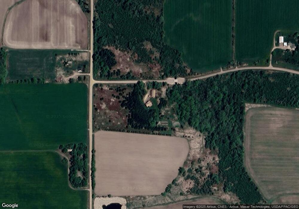
Map
Nearby Homes
- W4768 Capital Rd
- 506 E 1st St
- 101 S West St
- W5319 Rock Creek Rd
- 309 S West St
- 403 Bluebird Ln
- N10409 Hiline Ave
- 0 Chickadee Rd Unit 22505635
- 502 E Begley St
- 118 N Crocker Ave
- 106 N Crocker Ave
- 609 E Schofield Ave
- 214 W Hunt St
- 315 W Begley St
- 105 N Hendren Ave
- 114 W School St
- 420 Depot St
- 310 W Clark St
- 151 S Madison St
- 181 S Russell St
Your Personal Tour Guide
Ask me questions while you tour the home.