Estimated Value: $333,552 - $383,000
Studio
--
Bath
--
Sq Ft
1.25
Acres Lot
About This Home
This home is located at W4280 153 Rd, Loyal, WI 54446 and is currently estimated at $360,388. W4280 153 Rd is a home located in Clark County with nearby schools including Loyal Elementary School, Loyal Middle School, and Loyal High School.
Ownership History
Date
Name
Owned For
Owner Type
Purchase Details
Closed on
Apr 30, 2013
Sold by
Ashbeck Fellenz Kritsy M
Bought by
Potter Daric R
Current Estimated Value
Home Financials for this Owner
Home Financials are based on the most recent Mortgage that was taken out on this home.
Original Mortgage
$147,400
Outstanding Balance
$102,172
Interest Rate
3.38%
Mortgage Type
Purchase Money Mortgage
Estimated Equity
$258,216
Purchase Details
Closed on
Feb 25, 2011
Sold by
Colby Kevin M and Colby Angela M
Bought by
Ashbeck Fellenz Kristy M and Potter Daric R
Create a Home Valuation Report for This Property
The Home Valuation Report is an in-depth analysis detailing your home's value as well as a comparison with similar homes in the area
Purchase History
We collect this data history from publicly available records. To have your information removed, we recommend requesting removal directly through your county’s website.
| Date | Buyer | Sale Price | Title Company |
|---|---|---|---|
| Potter Daric R | $90,000 | -- | |
| Ashbeck Fellenz Kristy M | $156,500 | -- |
Source: Public Records
Mortgage History
We collect this data history from publicly available records. To have your information removed, we recommend requesting removal directly through your county’s website.
| Date | Status | Borrower | Loan Amount |
|---|---|---|---|
| Open | Potter Daric R | $147,400 |
Source: Public Records
Tax History
| Year | Tax Paid | Tax Assessment Tax Assessment Total Assessment is a certain percentage of the fair market value that is determined by local assessors to be the total taxable value of land and additions on the property. | Land | Improvement |
|---|---|---|---|---|
| 2025 | $4,424 | $185,100 | $6,300 | $178,800 |
| 2024 | $4,371 | $185,100 | $6,300 | $178,800 |
| 2023 | $3,906 | $185,100 | $6,300 | $178,800 |
| 2022 | $3,443 | $185,100 | $6,300 | $178,800 |
| 2021 | $3,519 | $185,100 | $6,300 | $178,800 |
| 2020 | $3,340 | $185,100 | $6,300 | $178,800 |
| 2019 | $3,491 | $185,100 | $6,300 | $178,800 |
| 2018 | $2,931 | $143,700 | $4,400 | $139,300 |
| 2017 | $93 | $143,700 | $4,400 | $139,300 |
| 2016 | $2,888 | $143,700 | $4,400 | $139,300 |
| 2015 | -- | $143,700 | $4,400 | $139,300 |
| 2014 | -- | $143,700 | $4,400 | $139,300 |
| 2013 | -- | $143,700 | $4,400 | $139,300 |
| 2011 | -- | $134,100 | $3,000 | $131,100 |
Source: Public Records
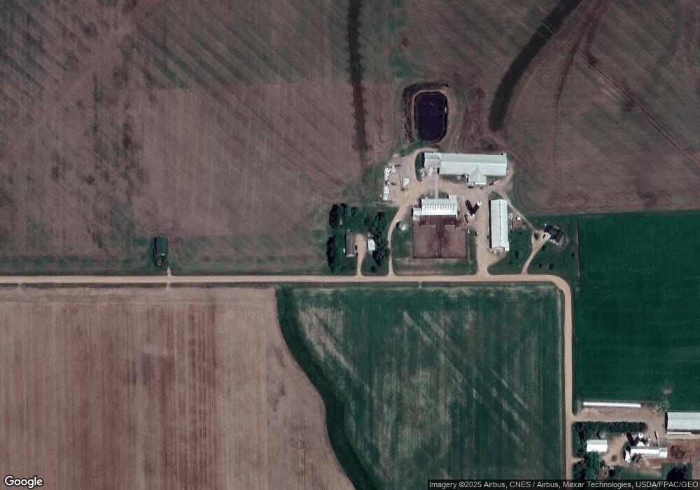
Map
Nearby Homes
- W4768 Capital Rd
- W5319 Rock Creek Rd
- 502 E Begley St
- 118 N Crocker Ave
- 106 N Crocker Ave
- 609 E Schofield Ave
- 315 W Begley St
- 105 N Hendren Ave
- 420 Depot St
- 114 W School St
- 305 N Division St
- 506 E 1st St
- 107 N West St
- 406 W Schofield Ave
- 309 S West St
- 403 Bluebird Ln
- 0 Chickadee Rd Unit 22505635
- N8296 River Ave
- N9126 Highway O
- W7426 County Road G
- W4234 153 Rd
- W4222 153 Rd
- W4222 153 Rd
- W4201 Maple Center Rd
- W4187 Maple Center Rd
- W4270 Maple Center Rd
- N10606 Cardinal Ave
- N10607 Cardinal Ave
- W4534 153 Rd
- W4032 Lovers Rd
- W4547 153 Rd
- 3912 Lovers Rd
- 3034 Lovers Rd
- W4393 Maple Center Rd
- W4001 Maple Center Rd
- N10748 Cardinal Ave
- W4259 Capital Rd
- N10296 Park Lane Ave
- W3915 Lovers Rd
- W4433 Maple Center Rd
Your Personal Tour Guide
Ask me questions while you tour the home.