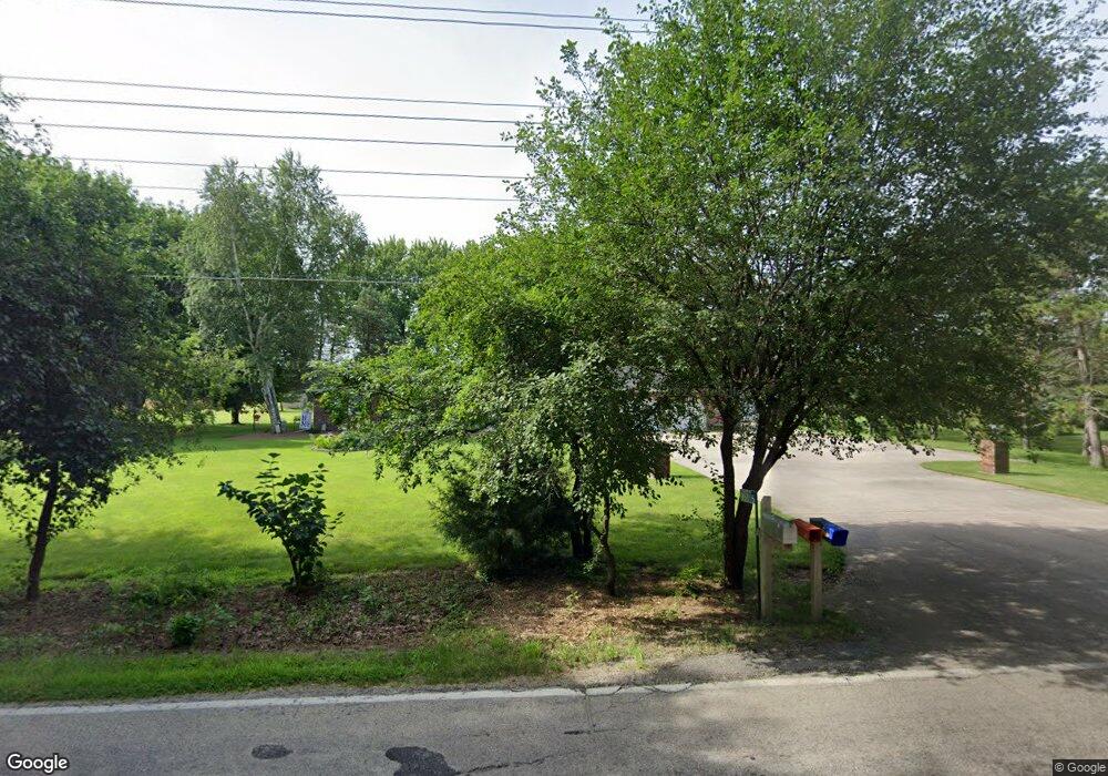
W5855 Hackbarth Rd Fort Atkinson, WI 53538
Estimated Value: $380,789 - $427,000
Studio
--
Bath
--
Sq Ft
31,494
Sq Ft Lot
About This Home
This home is located at W5855 Hackbarth Rd, Fort Atkinson, WI 53538 and is currently estimated at $403,697. W5855 Hackbarth Rd is a home located in Jefferson County with nearby schools including Purdy Elementary School, Fort Atkinson Middle School, and Fort Atkinson High School.
Ownership History
Date
Name
Owned For
Owner Type
Purchase Details
Closed on
Aug 5, 2021
Sold by
Kraus Dennis A and Kraus Rosalie E
Bought by
Kraus Joint Trust
Current Estimated Value
Purchase Details
Closed on
Oct 18, 2017
Sold by
Kraus Dennis and Vogel Diane
Bought by
Kraus Dennis and Kraus Rosalie E
Home Financials for this Owner
Home Financials are based on the most recent Mortgage that was taken out on this home.
Original Mortgage
$236,700
Interest Rate
4.75%
Mortgage Type
Adjustable Rate Mortgage/ARM
Create a Home Valuation Report for This Property
The Home Valuation Report is an in-depth analysis detailing your home's value as well as a comparison with similar homes in the area
Home Values in the Area
Average Home Value in this Area
Purchase History
| Date | Buyer | Sale Price | Title Company |
|---|---|---|---|
| Kraus Joint Trust | -- | None Available | |
| Kraus Dennis | -- | None Available |
Source: Public Records
Mortgage History
| Date | Status | Borrower | Loan Amount |
|---|---|---|---|
| Previous Owner | Kraus Dennis | $236,700 |
Source: Public Records
Tax History
| Year | Tax Paid | Tax Assessment Tax Assessment Total Assessment is a certain percentage of the fair market value that is determined by local assessors to be the total taxable value of land and additions on the property. | Land | Improvement |
|---|---|---|---|---|
| 2025 | $4,982 | $243,200 | $40,400 | $202,800 |
| 2024 | $4,447 | $243,200 | $40,400 | $202,800 |
| 2023 | $4,179 | $243,200 | $40,400 | $202,800 |
| 2022 | $4,343 | $243,200 | $40,400 | $202,800 |
| 2021 | $4,041 | $243,200 | $40,400 | $202,800 |
| 2020 | $3,582 | $243,200 | $40,400 | $202,800 |
| 2019 | $3,466 | $188,700 | $37,900 | $150,800 |
| 2018 | $3,220 | $188,700 | $37,900 | $150,800 |
| 2017 | $3,176 | $188,700 | $37,900 | $150,800 |
| 2016 | $3,291 | $188,700 | $37,900 | $150,800 |
| 2015 | $3,343 | $188,700 | $37,900 | $150,800 |
| 2014 | $3,252 | $188,700 | $37,900 | $150,800 |
| 2013 | $3,360 | $188,700 | $37,900 | $150,800 |
Source: Public Records
Map
Nearby Homes
- W5879 Arbor Rd
- N1810 U S 12
- 217 Wollet Dr
- 213 Wollet Dr
- 1510 Agnes Rd
- 1227 S Main St
- 1626 Stacy Ln
- 1000 Whitetail Dr
- 1331 Erick St
- 1321 Jamesway
- 1213 Adrian Blvd
- 1010 Grant St
- 910 S Main St
- 602 Hilltop Trail W
- 206 Hilltop Trail
- 1220 Janesville Ave
- 11 S 4th St E
- 308 S 4th St W
- 421 Milwaukee Ave E
- 234 S Main St
- W5843 Hackbarth Rd
- W5871 Hackbarth Rd
- W5903 Hedrick Dr
- W5901 Hedrick Dr
- w5901 Hendrick
- 5901 Hedrick Dr
- W5840 Hackbarth Rd
- W5880 Hackbarth Rd
- W5818 Hackbarth Rd
- W5891 Hackbarth Rd Unit W5893
- W5864 Hackbarth Rd
- W5896 Hedrick Dr
- W5814 Hackbarth Rd
- N1678 County Road K
- N1704 County Road K
- W5821 Hackbarth Rd
- W5821 Hackbarth Rd
- N1666 County Road K
- N1666 County Road K
- N1753 Us Highway 12
Your Personal Tour Guide
Ask me questions while you tour the home.