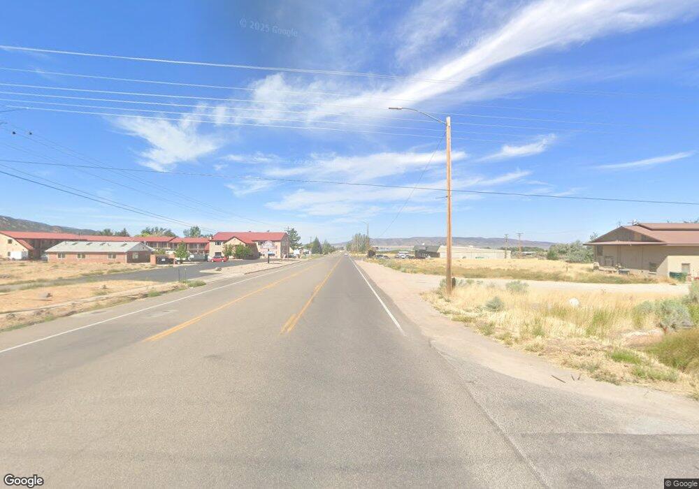
0 11 5 Acres Off 200 S Unit 23-240525 Parowan, UT 84761
Estimated Value: $389,000
--
Bed
--
Bath
--
Sq Ft
11.5
Acres
About This Home
This home is located at 0 11 5 Acres Off 200 S Unit 23-240525, Parowan, UT 84761 and is currently estimated at $389,000. 0 11 5 Acres Off 200 S Unit 23-240525 is a home located in Iron County with nearby schools including Parowan School, Parowan High School, and Cedar City High School.
Ownership History
Date
Name
Owned For
Owner Type
Purchase Details
Closed on
Mar 4, 2025
Sold by
Hgd Brothers Llc and Nelson Roy C
Bought by
Hgd Brothers Llc and Nelson
Current Estimated Value
Purchase Details
Closed on
Apr 5, 2024
Sold by
Hgd Brothers Llc
Bought by
Nelson Roy C
Purchase Details
Closed on
Feb 9, 2024
Sold by
Basic Invs Corporation
Bought by
Hgd Brothers Llc
Purchase Details
Closed on
Jul 26, 2018
Sold by
Jwt Investments Llc
Bought by
Basic Investment Corporation
Create a Home Valuation Report for This Property
The Home Valuation Report is an in-depth analysis detailing your home's value as well as a comparison with similar homes in the area
Home Values in the Area
Average Home Value in this Area
Purchase History
| Date | Buyer | Sale Price | Title Company |
|---|---|---|---|
| Hgd Brothers Llc | -- | -- | |
| Hgd Brothers Llc | -- | -- | |
| Hgd Brothers Llc | -- | -- | |
| Hgd Brothers Llc | -- | -- | |
| Nelson Roy C | -- | Southern Utah Title Company | |
| Hgd Brothers Llc | -- | Southern Utah Title Company | |
| Basic Investment Corporation | -- | None Available |
Source: Public Records
Tax History Compared to Growth
Tax History
| Year | Tax Paid | Tax Assessment Tax Assessment Total Assessment is a certain percentage of the fair market value that is determined by local assessors to be the total taxable value of land and additions on the property. | Land | Improvement |
|---|---|---|---|---|
| 2025 | $6,054 | $751,410 | $751,410 | -- |
| 2023 | $2,707 | $283,000 | $283,000 | $0 |
| 2022 | $2,710 | $283,000 | $283,000 | $0 |
| 2021 | $1,761 | $183,900 | $183,900 | $0 |
| 2020 | $1,993 | $183,900 | $183,900 | $0 |
| 2019 | $2,089 | $183,900 | $183,900 | $0 |
| 2018 | $2,134 | $183,900 | $183,900 | $0 |
| 2017 | $2,310 | $183,900 | $183,900 | $0 |
| 2016 | $2,310 | $183,900 | $183,900 | $0 |
| 2015 | $2,256 | $169,640 | $0 | $0 |
| 2014 | $2,365 | $169,640 | $0 | $0 |
Source: Public Records
Map
Nearby Homes
- 257 S 1175 W
- 1112 W 275 S
- 1144 375 South St
- 1435 W 200 S Unit 315
- 403 & 404 Kari
- 0 W Old Highway 91 Unit 24-253616
- 0 W Old Highway 91 Unit 108031
- 1025 W Old Highway 91
- 114 N 850 W
- 680 S Heritage Hills Dr
- 273 700 W
- 701 S Heritage Hills Dr
- 755 W 130 N
- 0 Lot 2 Blk 8 Plat C Unit 108795
- 1.73 AF Water Right ~ #75-1
- 6.81 ACFT Water Right: 75-251 Unit 1915 Priority
- 56 S 500 W
- 4550 W Gap Rd
- 0 968 S 1650 W Unit 25-264445
- 0 11 5 Acres Off 200 S Unit 23-240503
- 0 11 5 Acres Off 200 S
- 11.5 Acres Prime Commercial
- 0 W 200 S Unit 22-229734
- 0 W 200 S Unit 82527
- 0 W 200 S Unit 77957
- 0 W 200 S Unit phase 1 58518
- 0 W 200 S Unit phase 1
- 3500 W 200 S
- 1300 W 200 S
- 1505 W 200 S
- 253 W 200 S
- 256 S 300 W
- 243 S 1175 W
- 1342 W 275 S
- 257 S 300 W
- 0 W 275 S
- 1090 W 275 S
- 318 S 1175 W
- 297 S 1175 W Unit 1