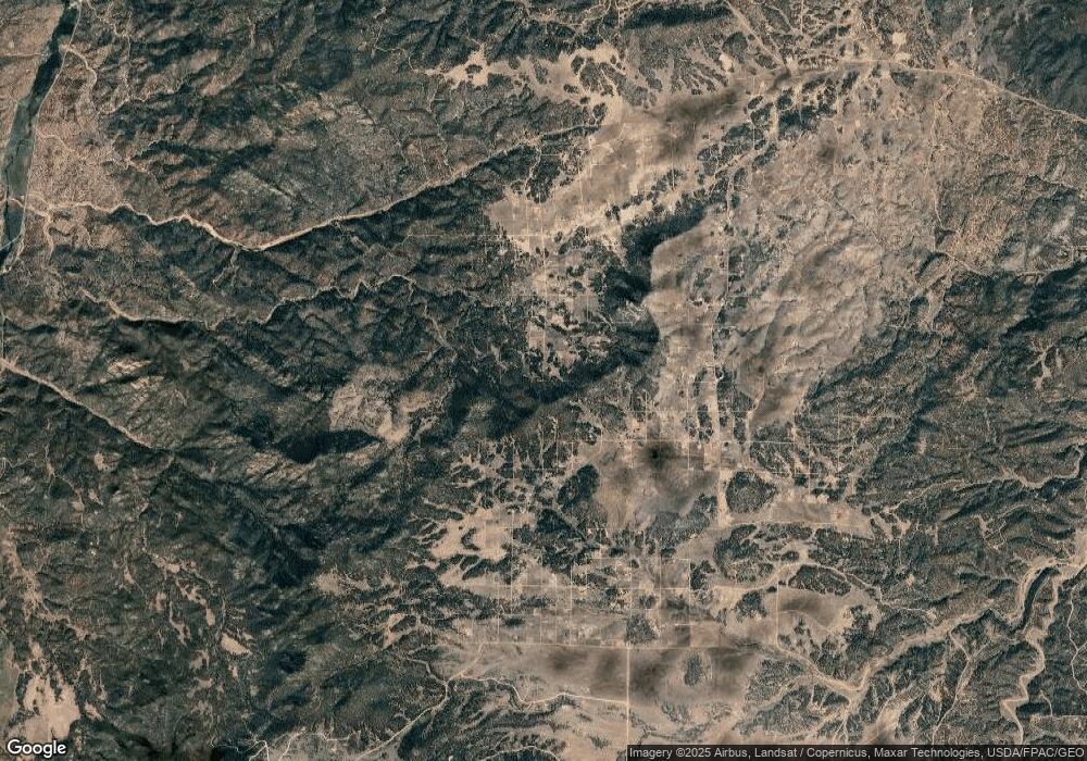
0 15th Trail Unit 1773096 Cotopaxi, CO 81223
Estimated Value: $41,000 - $133,000
--
Bed
--
Bath
--
Sq Ft
5
Acres
About This Home
This home is located at 0 15th Trail Unit 1773096, Cotopaxi, CO 81223 and is currently estimated at $87,000. 0 15th Trail Unit 1773096 is a home located in Fremont County with nearby schools including Cotopaxi Elementary School and Cotopaxi Junior/Senior High School.
Ownership History
Date
Name
Owned For
Owner Type
Purchase Details
Closed on
Feb 13, 2017
Sold by
Integrity Bank & Trust
Bought by
Campbell Scott W
Current Estimated Value
Purchase Details
Closed on
Dec 5, 2016
Sold by
Willier Michael and Willier Amber
Bought by
Integrity Bank & Trust
Purchase Details
Closed on
Jan 4, 2013
Sold by
Integrity Bank & Trust
Bought by
Willier Michael and Willier Amber
Home Financials for this Owner
Home Financials are based on the most recent Mortgage that was taken out on this home.
Original Mortgage
$11,500
Interest Rate
0.1%
Mortgage Type
Seller Take Back
Purchase Details
Closed on
Nov 6, 2012
Sold by
Wright Stephen Marshall and Wright Charles Bernard
Bought by
Integrity Bank Of Trust
Home Financials for this Owner
Home Financials are based on the most recent Mortgage that was taken out on this home.
Original Mortgage
$11,500
Interest Rate
0.1%
Mortgage Type
Seller Take Back
Create a Home Valuation Report for This Property
The Home Valuation Report is an in-depth analysis detailing your home's value as well as a comparison with similar homes in the area
Home Values in the Area
Average Home Value in this Area
Purchase History
| Date | Buyer | Sale Price | Title Company |
|---|---|---|---|
| Campbell Scott W | $18,000 | Fidelity National Title Ins | |
| Integrity Bank & Trust | -- | None Available | |
| Willier Michael | $17,500 | Fidelity National Title Insu | |
| Integrity Bank Of Trust | $4,424 | Fidelity National Title Ins |
Source: Public Records
Mortgage History
| Date | Status | Borrower | Loan Amount |
|---|---|---|---|
| Previous Owner | Willier Michael | $11,500 |
Source: Public Records
Tax History Compared to Growth
Tax History
| Year | Tax Paid | Tax Assessment Tax Assessment Total Assessment is a certain percentage of the fair market value that is determined by local assessors to be the total taxable value of land and additions on the property. | Land | Improvement |
|---|---|---|---|---|
| 2024 | $341 | $8,735 | $8,735 | $0 |
| 2023 | $341 | $7,045 | $7,045 | $0 |
| 2022 | $231 | $4,979 | $4,979 | $0 |
| 2021 | $226 | $4,979 | $4,979 | $0 |
| 2020 | $222 | $4,979 | $4,979 | $0 |
| 2019 | $222 | $4,979 | $4,979 | $0 |
| 2018 | $212 | $4,760 | $0 | $0 |
| 2017 | $212 | $4,760 | $0 | $0 |
| 2016 | $194 | $4,350 | $0 | $0 |
| 2015 | $194 | $4,350 | $0 | $0 |
| 2012 | $209 | $5,075 | $5,075 | $0 |
Source: Public Records
Map
Nearby Homes
- TBD 12th Trail
- TBD TR-8 13th Trail
- 739 17th Trail
- 000 K Path
- 2026 L Path
- 1839 15th Trail
- 388 15th Trail
- 863 15th Trail
- 0 K Path Unit 8642609
- 1739 17th Trail
- 0 21st Trail Unit REC1871091
- TBD L 20th Trail
- TR-121 19th Trail
- TR-33 10th Trail
- NYA I Path
- 2275 K Path
- TBD 24th Trail
- 876 Q Path
- 763 15th Trail
- 2225 P Path
- 1287 16th Trail
- 1212 16th Trail
- 1526 M Path
- TBD 17th Trail
- TBD 17th Trail Unit None
- TBD 17th Trail Unit 51
- TBD L 17th Trail
- 000 L Path
- 1139 N 15th St
- 1426 M Path
- 1139 15th Trail
- 1238 13th Trail
- 1139 16th Trail
- 1376 M Path
- 1213 Trail 18th
- 1213 18th Trail
- TBD 18th Trail Unit 26
- TBD 18th Trail
- 1363 16th Trail
- TBD 13th Tr & M Path
