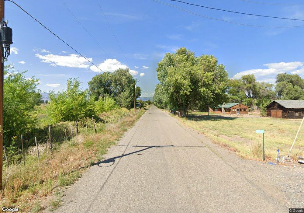
0 2150 Rd Unit 695061 Orchard City, CO 81410
Estimated Value: $301,474 - $353,000
3
Beds
2
Baths
1,485
Sq Ft
$222/Sq Ft
Est. Value
About This Home
This home is located at 0 2150 Rd Unit 695061, Orchard City, CO 81410 and is currently estimated at $330,369, approximately $222 per square foot. 0 2150 Rd Unit 695061 is a home located in Delta County with nearby schools including Cedaredge Elementary School, Cedaredge Middle School, and Cedaredge High School.
Ownership History
Date
Name
Owned For
Owner Type
Purchase Details
Closed on
Jul 20, 2018
Sold by
Alanlko Duane W and Alanlko Sarah E
Bought by
Alanko Duane W
Current Estimated Value
Home Financials for this Owner
Home Financials are based on the most recent Mortgage that was taken out on this home.
Original Mortgage
$144,000
Outstanding Balance
$125,073
Interest Rate
4.6%
Mortgage Type
New Conventional
Estimated Equity
$205,296
Purchase Details
Closed on
May 20, 2005
Sold by
Bain Fred H and Bain Karrie J
Bought by
Alanko Duane W and Alanko Sarah E
Home Financials for this Owner
Home Financials are based on the most recent Mortgage that was taken out on this home.
Original Mortgage
$132,815
Interest Rate
5.83%
Mortgage Type
FHA
Purchase Details
Closed on
Aug 30, 2000
Sold by
Bank Of New York
Bought by
Bain
Purchase Details
Closed on
Aug 30, 1990
Sold by
Drysdale Drysdale Dr
Bought by
Croker
Create a Home Valuation Report for This Property
The Home Valuation Report is an in-depth analysis detailing your home's value as well as a comparison with similar homes in the area
Home Values in the Area
Average Home Value in this Area
Purchase History
| Date | Buyer | Sale Price | Title Company |
|---|---|---|---|
| Alanko Duane W | -- | Land Title Guarntee Co | |
| Alanko Duane W | $134,900 | Fahtco | |
| Bain | $84,900 | -- | |
| Croker | $42,500 | -- |
Source: Public Records
Mortgage History
| Date | Status | Borrower | Loan Amount |
|---|---|---|---|
| Open | Alanko Duane W | $144,000 | |
| Closed | Alanko Duane W | $132,815 |
Source: Public Records
Tax History Compared to Growth
Tax History
| Year | Tax Paid | Tax Assessment Tax Assessment Total Assessment is a certain percentage of the fair market value that is determined by local assessors to be the total taxable value of land and additions on the property. | Land | Improvement |
|---|---|---|---|---|
| 2024 | $684 | $11,099 | $1,760 | $9,339 |
| 2023 | $684 | $11,099 | $1,760 | $9,339 |
| 2022 | $632 | $10,541 | $2,016 | $8,525 |
| 2021 | $634 | $10,844 | $2,074 | $8,770 |
| 2020 | $557 | $9,388 | $2,002 | $7,386 |
| 2019 | $558 | $9,388 | $2,002 | $7,386 |
| 2018 | $518 | $8,384 | $2,016 | $6,368 |
| 2017 | $518 | $8,384 | $2,016 | $6,368 |
| 2016 | $522 | $9,280 | $2,229 | $7,051 |
| 2014 | -- | $9,277 | $2,945 | $6,332 |
Source: Public Records
Map
Nearby Homes
- 9992 2150 Rd
- 20812 Vista Grande Dr
- 21017 Austin Rd
- 9427 2100 Rd
- 20469 Vista Grande Dr
- 10712 Mesa View Dr
- 9097 2150 Rd
- 10727 La Habra Dr
- 10703 Mesa View Dr
- 20691 Fairview Rd
- 20996 Fairview Rd
- 9897 & 9893 Horseshoe Ln
- 9808 Colorado 65
- 20020 Kenosha Rd
- 10081 Highway 65
- 20028 Justice Rd
- 20015 Kenosha Rd
- 9969 Kremmling Rd
- 20194 Lilac Ct
- 20114 Austin Rd