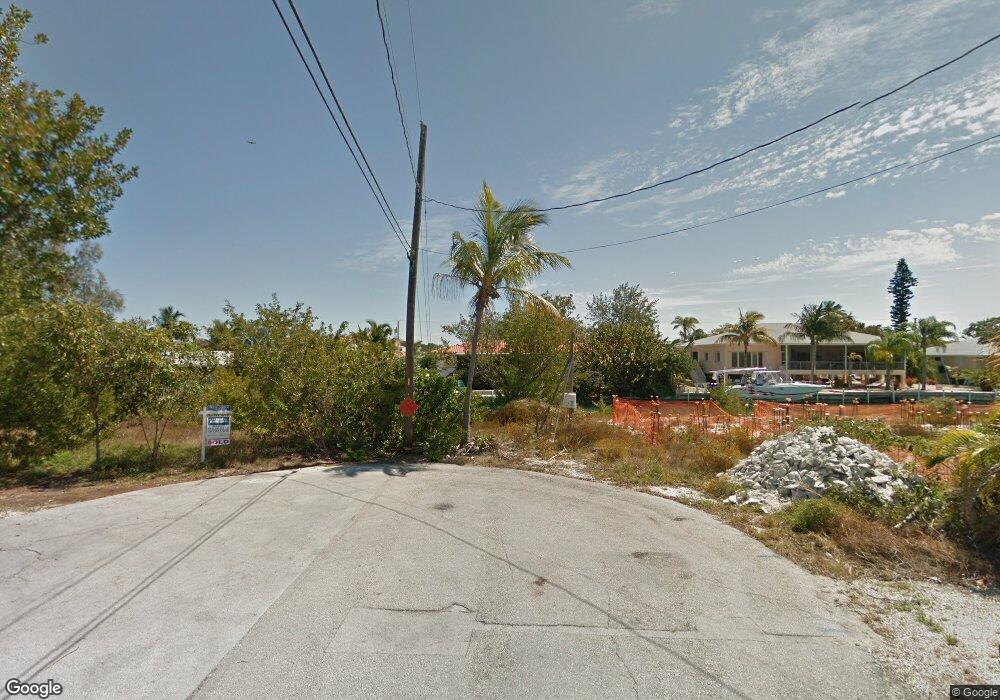
0 2nd Ave E Unit 507282 Cudjoe Key, FL 33042
Estimated Value: $955,795 - $1,272,000
2
Beds
2
Baths
1,313
Sq Ft
$819/Sq Ft
Est. Value
About This Home
This home is located at 0 2nd Ave E Unit 507282, Cudjoe Key, FL 33042 and is currently estimated at $1,074,949, approximately $818 per square foot. 0 2nd Ave E Unit 507282 is a home located in Monroe County with nearby schools including Sugarloaf School and Key West High School.
Ownership History
Date
Name
Owned For
Owner Type
Purchase Details
Closed on
Dec 16, 2024
Sold by
Land Franklin G and Franklin G Land Trust
Bought by
Hammer Douglas Wayne and Bowyer Hammer Rachel
Current Estimated Value
Purchase Details
Closed on
Jun 28, 2006
Sold by
Land Franklin G
Bought by
Land Franklin G and The Franklin G Land Trust
Purchase Details
Closed on
Jun 1, 2001
Bought by
Land Franklin Gl Tr 3/3005
Purchase Details
Closed on
Apr 1, 1987
Bought by
Land Franklin Gl Tr 3/3005
Create a Home Valuation Report for This Property
The Home Valuation Report is an in-depth analysis detailing your home's value as well as a comparison with similar homes in the area
Home Values in the Area
Average Home Value in this Area
Purchase History
| Date | Buyer | Sale Price | Title Company |
|---|---|---|---|
| Hammer Douglas Wayne | $1,025,000 | None Listed On Document | |
| Land Franklin G | -- | Attorney | |
| Land Franklin Gl Tr 3/3005 | $50,000 | -- | |
| Land Franklin Gl Tr 3/3005 | $28,000 | -- |
Source: Public Records
Tax History Compared to Growth
Tax History
| Year | Tax Paid | Tax Assessment Tax Assessment Total Assessment is a certain percentage of the fair market value that is determined by local assessors to be the total taxable value of land and additions on the property. | Land | Improvement |
|---|---|---|---|---|
| 2025 | $3,793 | $831,262 | $501,638 | $329,624 |
| 2024 | $3,618 | $390,603 | -- | -- |
| 2023 | $3,618 | $379,227 | $0 | $0 |
| 2022 | $3,523 | $368,182 | $0 | $0 |
| 2021 | $3,602 | $357,459 | $0 | $0 |
| 2020 | $3,582 | $352,524 | $0 | $0 |
| 2019 | $3,517 | $344,599 | $0 | $0 |
| 2018 | $3,530 | $338,174 | $0 | $0 |
| 2017 | $3,434 | $331,219 | $0 | $0 |
| 2016 | $3,452 | $324,407 | $0 | $0 |
| 2015 | $3,546 | $322,152 | $0 | $0 |
| 2014 | $3,646 | $319,595 | $0 | $0 |
Source: Public Records
Map
Nearby Homes
- 51 Drost Dr
- 20844 4th Ave W
- 21082 6th Ave
- 20771 2nd Ave W
- 21073 7th Ave
- 20838 5th Ave W
- 125 Colson Dr
- 489 Sawyer Dr
- 20841 8th Ave W
- 94 Sacarma Dr
- 743 Pattison Dr
- 21470 Overseas Hwy
- 755 Sawyer Dr
- 755 & 744 Sawyer Dr
- 0 Adams Rd
- 141 Arica Ln
- 19749 Date Palm Dr
- Lot 16 Date Palm Dr
- 142 Peg Leg Ln
- 21855 Spain Blvd
- 21024 2nd Ave
- 121 Drost Dr
- 21025 3rd Ave
- LT 1 & 2nd Ave E
- 0 Second Ave E Unit 94469
- 0 Second Ave E Unit 519898
- 21005 3rd Ave
- 21054 2nd Ave
- 21023 2nd Ave
- 20995 2nd Ave W
- 21053 2nd Ave
- 20986 2nd Ave W
- 21045 3rd Ave
- 20985 2nd Ave W
- 26 2nd West & Drost Ave
- 21026 3rd Ave
- 21055 3rd Ave
- 21036 3rd Ave
- 21006 3rd Ave
- 21042 1st Ave