Estimated Value: $102,000 - $285,000
--
Bed
--
Bath
--
Sq Ft
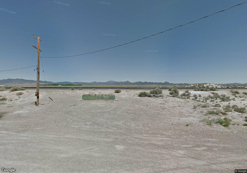
5.09
Acres
About This Home
This home is located at 0 5 09 Acres With 5 Af of Water Unit 104913, Beryl, UT 84714 and is currently estimated at $193,500. 0 5 09 Acres With 5 Af of Water Unit 104913 is a home located in Iron County with nearby schools including Escalante Valley School, Canyon View Middle School, and Canyon View High School.
Ownership History
Date
Name
Owned For
Owner Type
Purchase Details
Closed on
Nov 13, 2023
Sold by
Quillen Mark D
Bought by
Fowler Bill
Current Estimated Value
Create a Home Valuation Report for This Property
The Home Valuation Report is an in-depth analysis detailing your home's value as well as a comparison with similar homes in the area
Home Values in the Area
Average Home Value in this Area
Purchase History
| Date | Buyer | Sale Price | Title Company |
|---|---|---|---|
| Fowler Bill | -- | Traveling Title | |
| Fowler Bill | -- | Traveling Title |
Source: Public Records
Tax History Compared to Growth
Tax History
| Year | Tax Paid | Tax Assessment Tax Assessment Total Assessment is a certain percentage of the fair market value that is determined by local assessors to be the total taxable value of land and additions on the property. | Land | Improvement |
|---|---|---|---|---|
| 2025 | $63 | $8,399 | $8,399 | -- |
| 2023 | $62 | $7,635 | $7,635 | $0 |
| 2022 | $52 | $6,105 | $6,105 | $0 |
| 2021 | $43 | $5,090 | $5,090 | $0 |
| 2020 | $49 | $5,090 | $5,090 | $0 |
| 2019 | $51 | $5,090 | $5,090 | $0 |
| 2018 | $52 | $5,090 | $5,090 | $0 |
| 2017 | $52 | $5,090 | $5,090 | $0 |
| 2016 | $57 | $5,090 | $5,090 | $0 |
Source: Public Records
Map
Nearby Homes
- LOT 101 Escalante Valley Ranchos
- 3200 W 4500 N
- 0 N 2400 W
- 1200 N 3100 W Unit Lots 14 & 15
- 6400 N 1600 W
- 120 Acres 1400 W
- 0 162 45 Acres On 4000 N Unit East of 1600 W
- 1128 W 5400 N Unit 30
- 0 E-1602-0003-0024 Unit 114074
- 0 E-1602-0003-0024 Unit 25-267333
- 800 W 3200 N
- 3300 W 3200 N
- 10 Acres Near Beryl
- 3570 N 4150 W Unit 22
- 3570 N 4150 W
- 5980 N 1325 W
- 0 8 76 Acres With 0 500 Af Water
- 3200 N 4300 W
- 3688 W 4000 N
- 4500 W 4000 N
- 0 5 09 Acres With 5 Af of Water Unit 23-246732
- 0 5 09 Acres With 5 Af of Wate Unit 104885
- Escalante Valley Ranchos Unit 11
- 0 Escalante Valley Ranchos
- Lot 108 Escalante Valley Unit 11
- 4484 N 2700 W
- 4538 N 2700 W
- 4500 N 2700 W Unit 11
- 4200 N 2700 W Unit 11
- 4200 N 2650 W Unit 11
- 2900 W 4200 N
- 0 W 4700 N
- 2475 W 4800 N
- 2700 W 4500 N Unit TWO 5 acre lots w/ w
- 2700 W 4500 N
- 2615 W 4800 N
- 3200 N 2000 W
- @ 3100 N 2000 W
- S1/2 SE1/4 Sec 35 T34s R17w
- 1000 N 2000 W Unit 16