Estimated Value: $358,000
--
Bed
--
Bath
--
Sq Ft
1.45
Acres
About This Home
This home is located at 0 551 Rd Unit 1917664, Vian, OK 74962 and is currently estimated at $358,000. 0 551 Rd Unit 1917664 is a home located in Cherokee County.
Ownership History
Date
Name
Owned For
Owner Type
Purchase Details
Closed on
Aug 15, 2023
Sold by
Mcneely Joseph and Mcneely Mary
Bought by
Norman Emily M
Current Estimated Value
Home Financials for this Owner
Home Financials are based on the most recent Mortgage that was taken out on this home.
Original Mortgage
$421,475
Outstanding Balance
$406,396
Interest Rate
6.81%
Mortgage Type
New Conventional
Estimated Equity
-$48,396
Purchase Details
Closed on
Dec 8, 1999
Sold by
Eastlake Hills Inc
Bought by
Black Gum Partners, Llc
Create a Home Valuation Report for This Property
The Home Valuation Report is an in-depth analysis detailing your home's value as well as a comparison with similar homes in the area
Home Values in the Area
Average Home Value in this Area
Purchase History
| Date | Buyer | Sale Price | Title Company |
|---|---|---|---|
| Norman Emily M | $429,000 | Sovereign Title Services | |
| Black Gum Partners, Llc | -- | -- |
Source: Public Records
Mortgage History
| Date | Status | Borrower | Loan Amount |
|---|---|---|---|
| Open | Norman Emily M | $421,475 |
Source: Public Records
Tax History Compared to Growth
Tax History
| Year | Tax Paid | Tax Assessment Tax Assessment Total Assessment is a certain percentage of the fair market value that is determined by local assessors to be the total taxable value of land and additions on the property. | Land | Improvement |
|---|---|---|---|---|
| 2025 | $44 | $523 | $523 | $0 |
| 2024 | $11 | $131 | $131 | $0 |
| 2023 | $11 | $131 | $131 | $0 |
| 2022 | $10 | $131 | $131 | $0 |
| 2021 | $10 | $131 | $131 | $0 |
| 2020 | $11 | $131 | $131 | $0 |
| 2019 | $10 | $131 | $131 | $0 |
| 2018 | $10 | $131 | $131 | $0 |
| 2017 | $10 | $131 | $131 | $0 |
| 2016 | $10 | $131 | $131 | $0 |
| 2015 | $10 | $131 | $131 | $0 |
| 2014 | $10 | $131 | $131 | $0 |
Source: Public Records
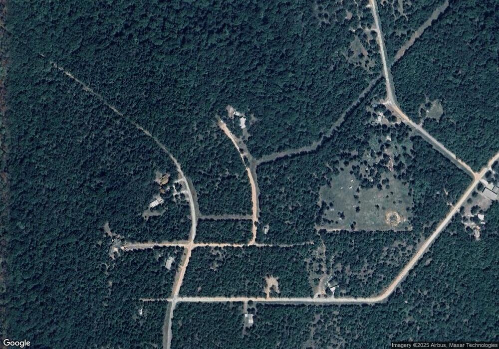
Map
Nearby Homes
- 0 Lot 4 Mountain View Unit 1159626
- 0 Lot 3 Mountain View Unit 1159629
- 95398 S 4556 Rd
- 001 S 4556 Rd
- 95001 S 4556 Rd
- 0 S 4547 Rd Unit 2548088
- 0 S 4545 Cir
- 24 Blake Cir
- 0 E 953 Rd Unit 2501931
- 0 W Wilderness Rd Unit 2548676
- 19061 E Wilderness Rd
- 18977 E Wilderness Ln
- 0 S Oak Ln
- 0 S Talon Dr
- 23 E Hillside Rd
- 34830 S Falcon Crest Ln
- 34750 S Falcon Crest Ln
- 19465 E Maple Ln
- 34803 S Falcon Crest Ln
- TBD State Highway 82
- 0 551 Rd Unit 1917668
- 0 551 Rd Unit 1917666
- 0 551 Rd Unit 1917665
- 36754 S 551 Rd
- 36651 S 551 Rd
- 0 550 Rd Unit 1405652
- 0 550 Rd Unit 1915307
- 0 550 Rd Unit 1915359
- 0 550 Rd Unit 1915367
- 0 550 Rd Unit 1915373
- 0 550 Rd Unit 1917671
- 36601 S 552 Rd
- 550 S 550 Rd
- 0 E 947 Rd Unit 1527917
- 22132 E 947 Rd
- 22063 E 947 Rd
- 22063 E 947 Rd
- HCR 68 Box 741 Ridge Route Rd
- Box 1088 Vian Hc 68 Rd
- RT 2 BOX 42 1020 Rd