
0 Alliance St Unit NE 69301 Alliance, NE 69301
Estimated payment $4,479/month
About This Lot
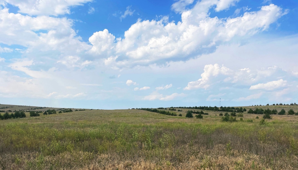
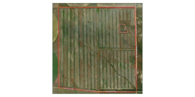
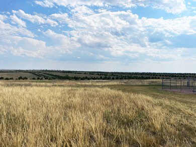
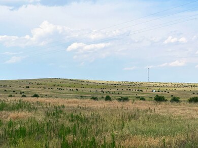
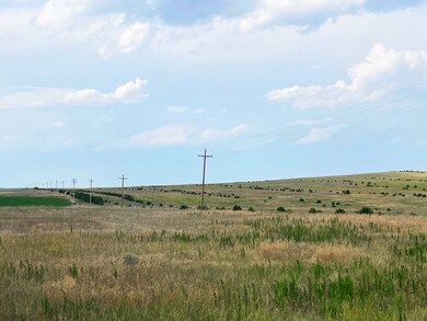
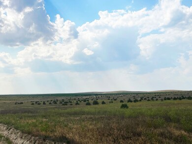
Here is the income property with recreational amenities everyone is looking for. A full section of grass, with 53,000 trees planted on it. Great Mule deer, whitetail and pheasant/grouse habitat. There are $21,381 of CRP income. Part of the CRP contracts ends in 2025, and part ends in 2030. This tract is located approximately 20 miles SW of Hemmingford, NE and 20 miles NW of Alliance, NE. There is a cell phone tower located in the NE of the section, with 5 acres that is owned by the cell phone tower company. There is also an old shop located in the NE that could be made into a camp or shop. Enjoy good county road access on two sides of the property. Call Scott for more details. Income Potential:$21,281 Legal Description:All (Except 5 acres in NE 1/4) 02-25-51 West of the 6th P.M. Box Butte County Nebraska Taxes:$2,736.28 Address:Alliance, NE 69301 County:Box Butte

Property Details
Property Type
- Land
Utilities
- Phone Available
Map
Home Values in the Area
Average Home Value in this Area
Property History
| Date | Event | Price | Change | Sq Ft Price |
|---|---|---|---|---|
| 08/23/2024 08/23/24 | For Sale | $686,613 | -- | -- |
- TBD Road
- 508 Shoshone Ave
- Tbd
- Tbd
- Tbd
- 6401 Lincoln Rd
- Lot 2 Highway 385
- Lot 5 Highway 385
- Lot 6 Highway 385
- Lot 7 Highway 385
- Lot 1 Highway 385
- 1647 Countryside Ln
- 1423 Colorado Ave
- 1021 Dakota Ave
- 1635 Black Hills Ct
- 613 Hampton St
- 305 31st Terrace
- 907 Black Hills Ave
- 936 Platte Ave
- 1239 Toluca Ave